Geodatastyrelsen Charts

Geodatastyrelsen is a Danish public institution responsible for the management and dissemination of geospatial data and mapping in Denmark, including nautical charts. Geodatastyrelsen is maintaining up-to-date and reliable nautical charts for Danish waters.

The work on nautical charts involves the collection of data on the seabed, coastline, waterways, shipping lanes, lighthouses, and more, using methods such as hydrographic surveys, measurements, and satellite imagery.

This data is regularly updated to ensure the accuracy and reliability of the nautical charts. Geodatastyrelsen also collaborates with other maritime authorities, including the Danish Maritime Authority, to ensure that the nautical charts meet the necessary standards and requirements.

View on map
121-140 of 187 products
Select an option
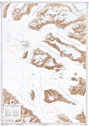
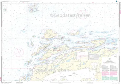
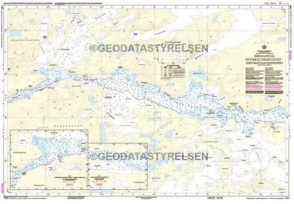
  1. POD Nautical Chart 1462 Naajatuut - Uummannaarsussuaq & Innussuttusup Tunua

    Price: DKK 275.00
    Out of stock
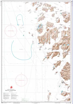
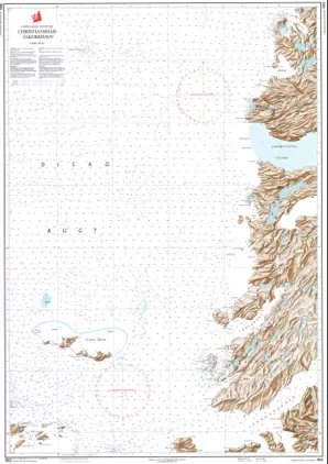
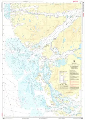
  2. POD Nautical Chart 1461 Kangerlussuarmut Pulammagiaa

    Price: DKK 275.00
    Out of stock
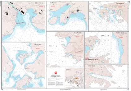
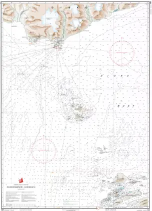
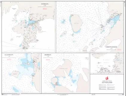
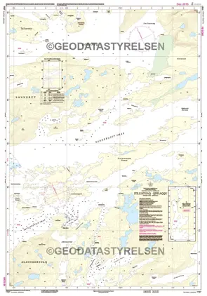
  3. POD Nautical Chart 1451 Harbour Plans - West Coast of Greenland

    Price: DKK 275.00
    Out of stock
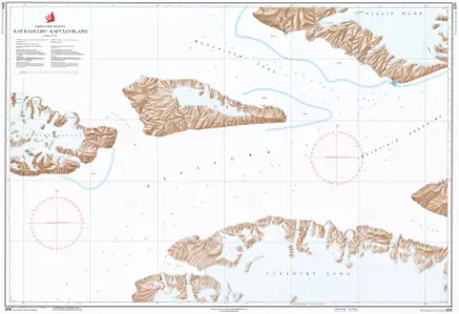
  4. POD Nautical Charts 1416 Færinge Nordhavn - Tugtulik

    Price: DKK 275.00
    Out of stock
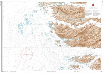
  5. POD Nautical Chart 1415 Holsteinsborg - Færinge Nordhavn

    Price: DKK 275.00
    Out of stock
  6. POD Nautical Chart 1412 Inussuttusup Tunua - Sisimiut

    Price: DKK 275.00
    Out of stock
  7. POD Nautical Chart 1411 Qeqertarssuit - Qaqatsiaq

    Price: DKK 275.00
    Out of stock
  8. POD Nautical Chart 1410 Sukkertoppen - Søndre Strømfjord

    Price: DKK 275.00
    Out of stock
  9. POD Nautical Chart 1331 Nuuk- Godthåb (Educational Chart)

    Price: DKK 70.00
    Out of stock
  10. POD Nautical Chart 1314 Atangmik - Sukkertoppen

    Price: DKK 275.00
    Out of stock
  11. POD Nautical Chart 1313 Godthåb - Atangmik

    Price: DKK 275.00
    Out of stock
  12. POD Nautical Chart 1310 Færingehavn - Godthåb

    Price: DKK 275.00
    Out of stock
  13. POD Nautical Chart 1250 Umiarsualiviit assingi - Harbour plans

    Price: DKK 275.00
    Out of stock
  14. POD Nautical Chart 1231 Fiskenæsset

    Price: DKK 275.00
    Out of stock
  15. POD Nautical Chart 1230 Frederikshåb

    Price: DKK 275.00
    Out of stock
  16. POD Nautical Chart 1213 Fiskenæsset - Færingehavn

    Price: DKK 275.00
    Out of stock
  17. POD Nautical Chart 1212 Sioqqap Sermia - Qeqertarsuatsiaat

    Price: DKK 275.00
    Out of stock
  18. POD Nautical Chart 1211 Frederikshåb - Frederikshåb Isblink

    Price: DKK 275.00
    Out of stock
  19. POD Nautical Chart 1210 Tornarssuk Løb - Frederikshåb

    Price: DKK 275.00
    Out of stock
  20. POD Nautical Chart 1160 Qaarsup Ikerasaa - Paggivik

    Price: DKK 275.00
    Out of stock
View on map
Close