North Sea
The full range of ADMIRALTY nautical sea charts for the North Sea.
View on map
21-40
of
185
products
Select an option
Country not found
List is empty.
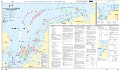
Mariners' Routeing Guide 5526 MRG Southern North Sea
Price DKK 500.30
Out of stock
Book
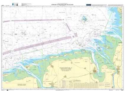
Nautical Chart DE 87 Bokum Neuwerk Helgoland
Price DKK 525.31
Out of stock
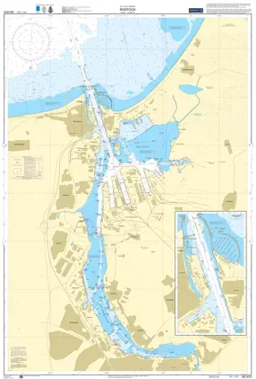
Nautical Chart DE 1672 Rostock & Warnemünde
Price DKK 525.31
Out of stock
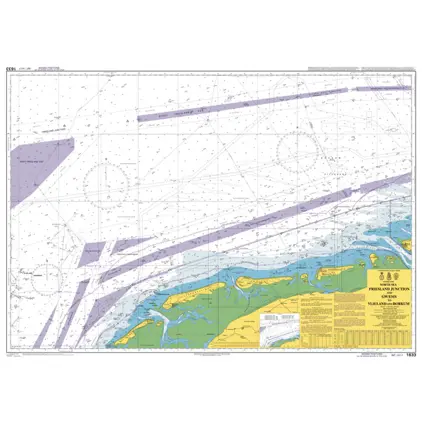
Nautical Chart 1633 Friesl. Junction & GW/EMS to Vlieland & Borkum
Price DKK 525.31
Out of stock
Mariners' Routeing Guide 5500 MRG English Channel
Price DKK 500.30
Out of stock
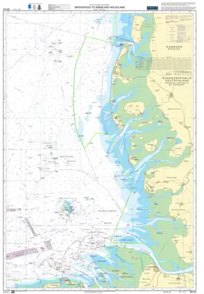
Nautical Chart DE 103 Spiekeroog to Rømø & Helgoland
Price DKK 525.31
Out of stock
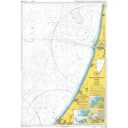
Nautical Chart 125 App to Ijmuiden
Price DKK 525.31
Out of stock
Nautical Chart 1631 DW Routes to Ijmuiden
Price DKK 525.31
Out of stock
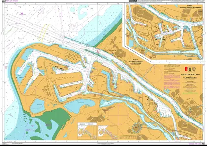
Nautical Chart 207 Hoek van Holland to Vlaardingen.
Price DKK 525.31
Out of stock
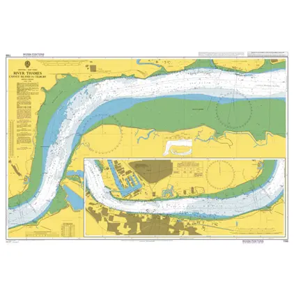
Nautical Chart 1186 Canvey Island to Tilbury
Price DKK 525.31
Out of stock
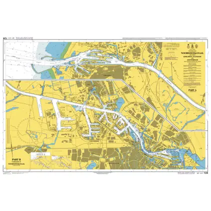
Nautical Chart 124 Noordzeekanaal
Price DKK 525.31
Out of stock
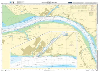
Nautical Chart DE 46 Belum to Krautsand
Price DKK 525.31
Out of stock
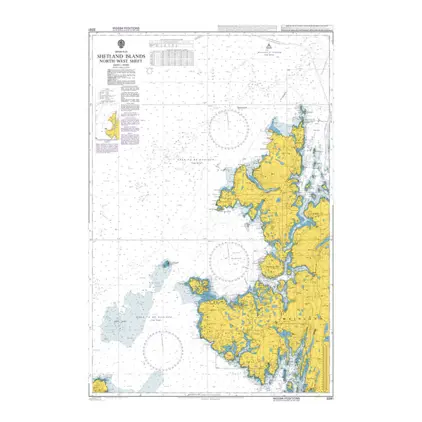
Nautical Chart 3281 Shetland Islands, N-W
Price DKK 525.31
Out of stock
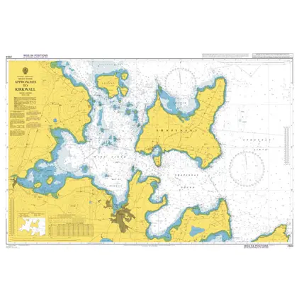
Nautical Chart 2584 Approaches to Kirkwall
Price DKK 525.31
Out of stock
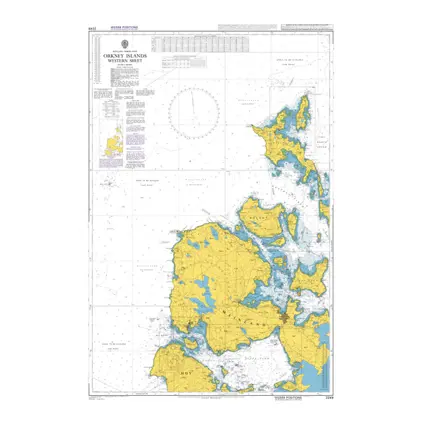
Nautical Chart 2249 Orkney Islands-western sheet
Price DKK 525.31
Out of stock
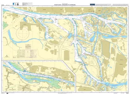
Nautical Chart DE 48 Elbe Lühesand to Hamburg
Price DKK 525.31
Out of stock
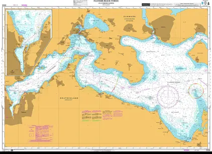
Nautical Chart DE 26 Flensborg Fjord
Price DKK 525.31
Out of stock
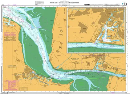
Nautical Chart DE 91 Dukegat Emssperrwerk
Price DKK 525.31
Out of stock
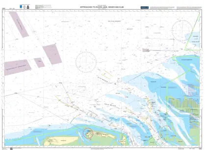
Nautical Chart DE 2 App Rivers Jade Weser & Elbe
Price DKK 525.31
Out of stock
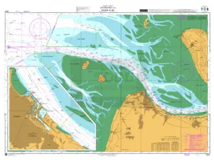
Nautical Chart DE 44 Entrance River Elbe
Price DKK 525.31
Out of stock
Previous
1
2
3
4
...
10
Next
View on map
Close
Close