British Isles
The full range of ADMIRALTY nautical sea charts for British Isles.
121-140
of
205
products
Select an option
Country not found
List is empty.
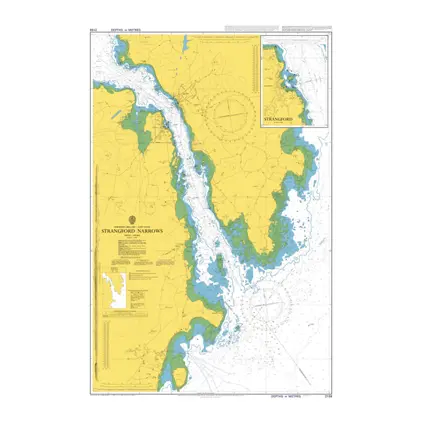
Nautical Chart 2159 Strangford Narrows
Price DKK 525.31
Out of stock
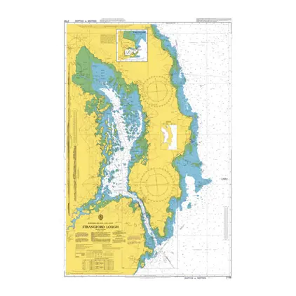
Nautical Chart 2156 Strangford Lough
Price DKK 525.31
Out of stock
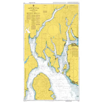
Nautical Chart 2131 Firth of Clyde & Loch F
Price DKK 525.31
Out of stock
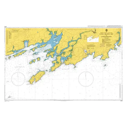
Nautical Chart 2129 Long Island Bay to Castlehaven
Price DKK 525.31
Out of stock
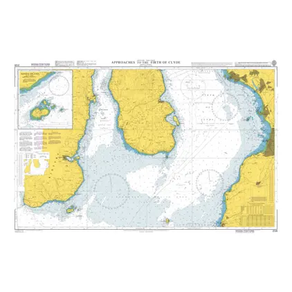
Nautical Chart 2126 App. Firth of Clyde
Price DKK 525.31
Out of stock
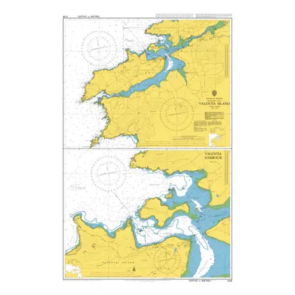
Nautical Chart 2125 Valentia Island
Price DKK 525.31
Out of stock
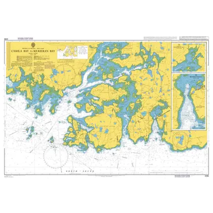
Nautical Chart 2096 Cashla Bay to Kilkier
Price DKK 525.31
Out of stock
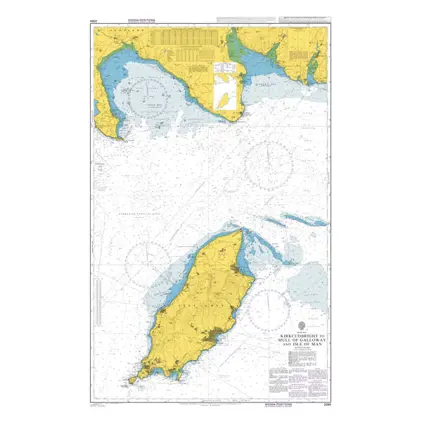
Nautical Chart 2094 Kirkcudbright to Mull
Price DKK 525.31
Out of stock
Nautical Chart 2093 South.app.to North Channel
Price DKK 525.31
Out of stock
Nautical Chart 2092 Toe Head to Old Head of Kinsale
Price DKK 525.31
Out of stock
Nautical Chart 2081 Courtmacsherry Bay
Price DKK 525.31
Out of stock
Nautical Chart 2076 Loch Eriboll
Price DKK 525.31
Out of stock
Nautical Chart 2071 Youghal Harbour
Price DKK 525.31
Out of stock
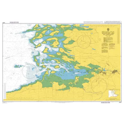
Nautical Chart 2057 Westport Bay and app.
Price DKK 525.31
Out of stock
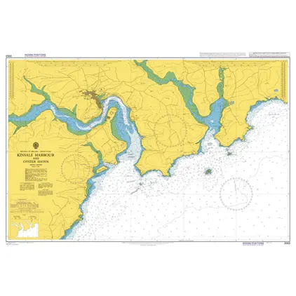
Nautical Chart 2053 Kinsale Hb. & Oyster Haven
Price DKK 525.31
Out of stock
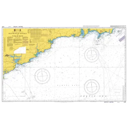
Nautical Chart 2049 Old Head of Kinsale
Price DKK 525.31
Out of stock
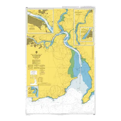
Nautical Chart 2046 Waterford Harbour
Price DKK 525.31
Out of stock
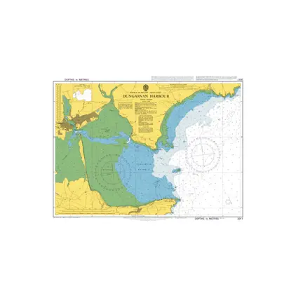
Nautical Chart 2017 Dungarvan Harbour
Price DKK 525.31
Out of stock
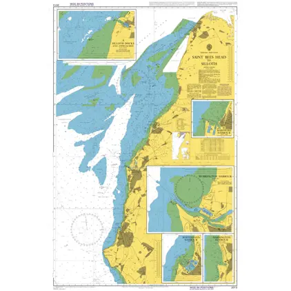
Nautical Chart 2013 Saint Bees Head to Silloth
Price DKK 525.31
Out of stock
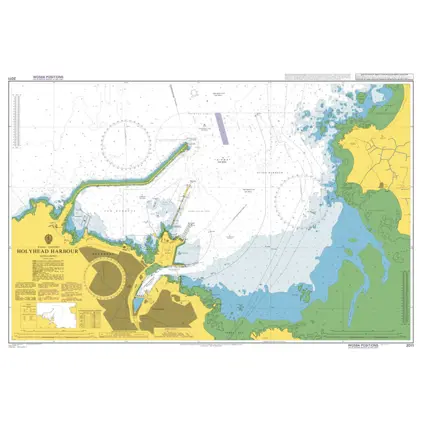
Nautical Chart 2011 Holyhead Harbour
Price DKK 525.31
Out of stock
Previous
1
...
5
6
7
8
9
...
11
Next
Close