British Isles
The full range of ADMIRALTY nautical sea charts for British Isles.
1-20
of
205
products
Select an option
Country not found
List is empty.
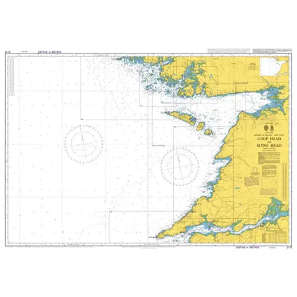
Nautical Chart 2173 Loop Head to Slyne He
Price DKK 525.31
Out of stock
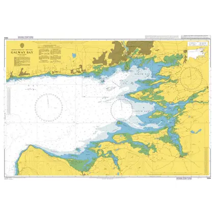
Nautical Chart 1984 Galway Bay
Price DKK 525.31
Out of stock
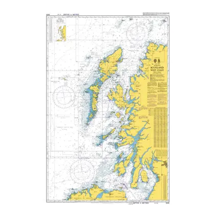
Nautical Chart 2635 British Isles, Scotland
Price DKK 525.31
Out of stock
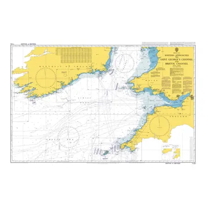
Nautical Chart 1123 Saint George's Channel and Bristol Channel.
Price DKK 525.31
Out of stock
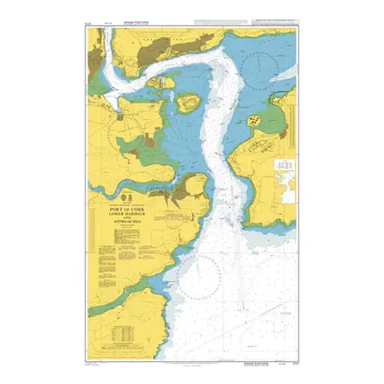
Nautical Chart 1777 Port of Cork, Lower Harbour
Price DKK 525.31
Out of stock
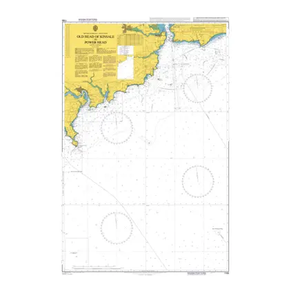
Nautical Chart 1765 Old Head of Kinsale
Price DKK 525.31
Out of stock
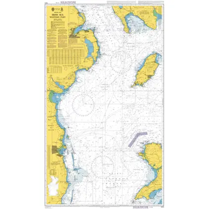
Nautical Chart 1411 British Isles, Irish
Price DKK 525.31
Out of stock
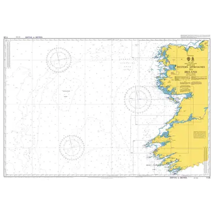
Nautical Chart 1125 Western app.to Ireland
Price DKK 525.31
Out of stock
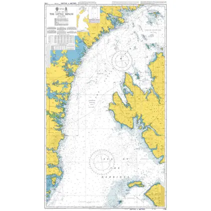
Nautical Chart 1795 The Little Minch, Southern Part
Price DKK 525.31
Out of stock
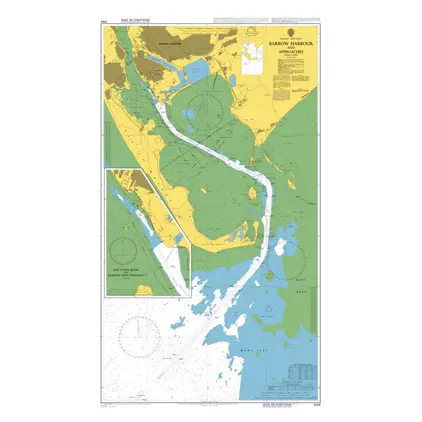
Nautical Chart 3164 Barrow Harbour and app.
Price DKK 525.31
Out of stock
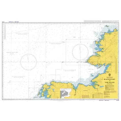
Nautical Chart 2725 Blacksod Bay to Tory Island
Price DKK 525.31
Out of stock
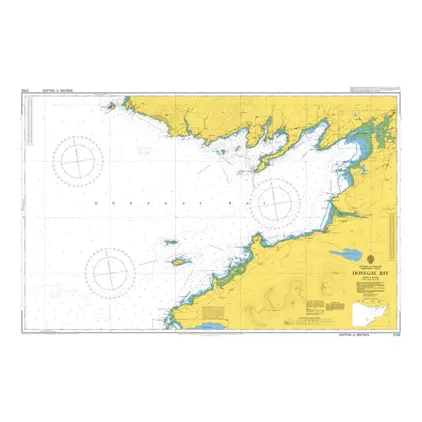
Nautical Chart 2702 Donegal Bay
Price DKK 525.31
Out of stock
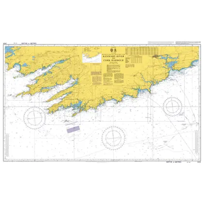
Nautical Chart 2424 Kenmare River/Cork Harbour
Price DKK 525.31
Out of stock
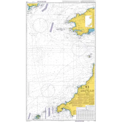
Nautical Chart 1178 Approaches to the Bristol Channel.
Price DKK 525.31
Out of stock
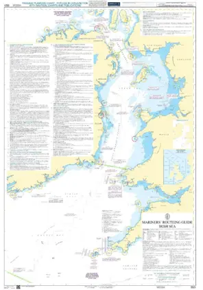
Mariners Routeing Guide 5521 MRG Irish Sea
Price DKK 500.30
Out of stock
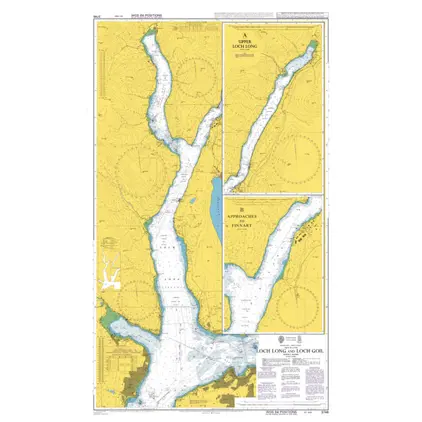
Nautical Chart 3746 Loch Long and Loch Goil
Price DKK 525.31
Out of stock
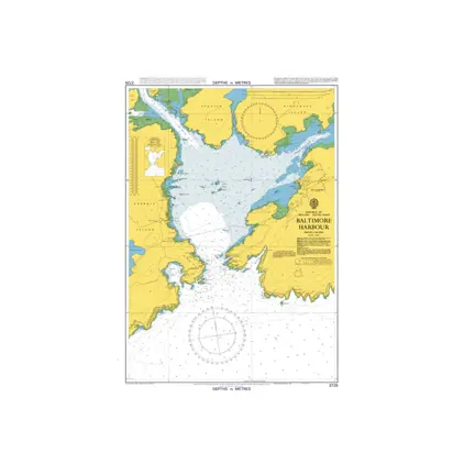
Nautical Chart 3725 Baltimore Hrb., Ireland
Price DKK 525.31
Out of stock
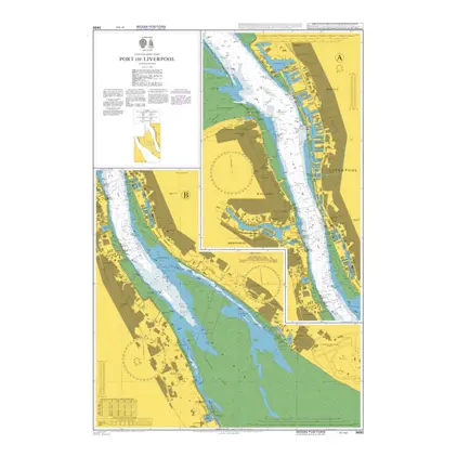
Nautical Chart 3490 Port of Liverpool
Price DKK 525.31
Out of stock
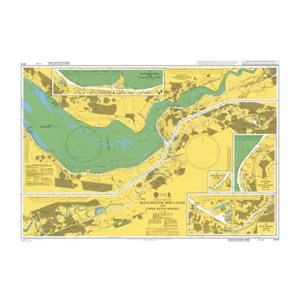
POD 3478 Manchester Ship Canal
Price DKK 525.31
Out of stock
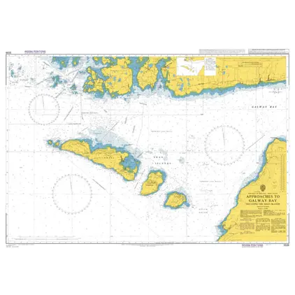
Nautical Chart 3339 Appr. Galway Bay+Aran
Price DKK 525.31
Out of stock
Previous
1
2
3
...
11
Next
Close