British Isles
The full range of ADMIRALTY nautical sea charts for British Isles.
181-200
of
205
products
Select an option
Country not found
List is empty.
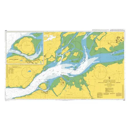
Nautical Chart 1549 River Shannon-Rinealon
Price DKK 525.31
Out of stock
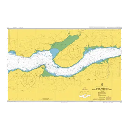
Nautical Chart 1548 River Shannon Ardmore Point to Rinealon Point
Price DKK 525.31
Out of stock
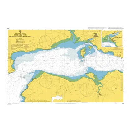
Nautical Chart 1547 Kilcredaun Point-Ardmore Point
Price DKK 525.31
Out of stock
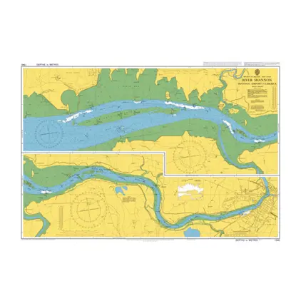
Nautical Chart 1540 River Shannon-Limeric
Price DKK 525.31
Out of stock
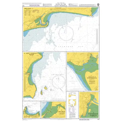
Nautical Chart 1512 Wales: Plans
Price DKK 525.31
Out of stock
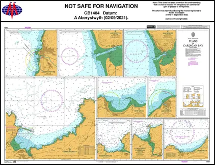
Nautical Chart 1484 Plans in Cardigan Bay
Price DKK 525.31
Out of stock
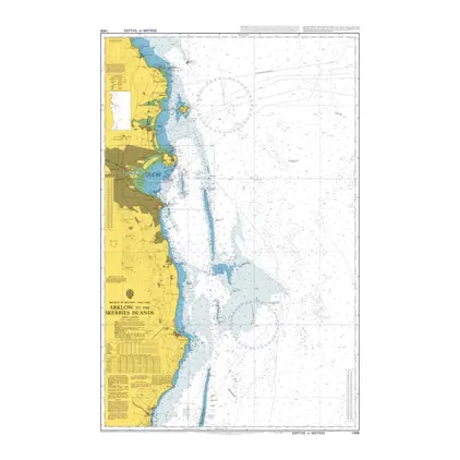
Nautical Chart 1468 Arklow/Skerries Islands
Price DKK 525.31
Out of stock
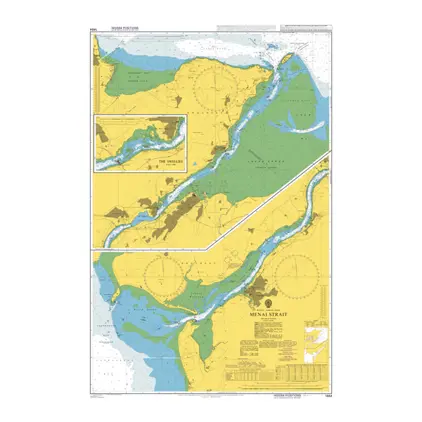
Nautical Chart 1464 Menai Strait-Swellies
Price DKK 525.31
Out of stock
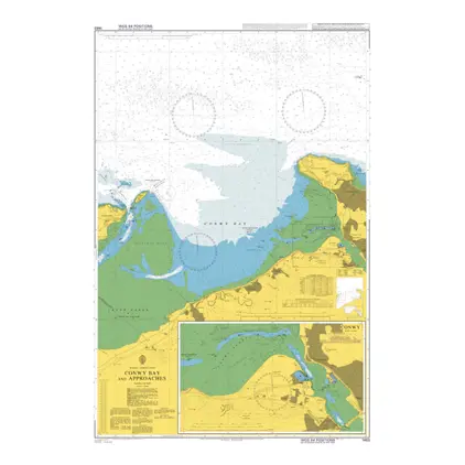
Nautical Chart 1463 Conwy Bay and approaches
Price DKK 525.31
Out of stock
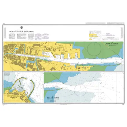
Nautical Chart 1447 Dublin and Dun Laoghaire
Price DKK 525.31
Out of stock
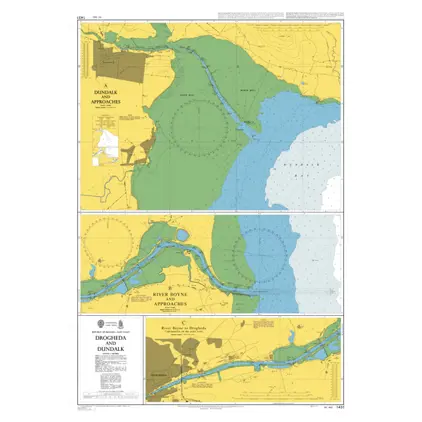
Nautical Chart 1431 Drogheda and Dundalk
Price DKK 525.31
Out of stock
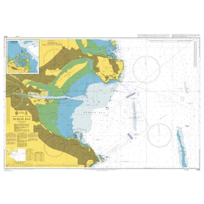
Nautical Chart 1415 Dublin Bay
Price DKK 525.31
Out of stock
Nautical Chart 1413 Approaches to Holyhead
Price DKK 525.31
Out of stock
Nautical Chart 1410 St. Georges Channel
Price DKK 525.31
Out of stock
Nautical Chart 1404 Loch Ryan
Price DKK 525.31
Out of stock
Nautical Chart 1346 Solway Firth and app.
Price DKK 525.31
Out of stock
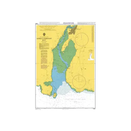
Nautical Chart 1344 Kirkcudbright Bay
Price DKK 525.31
Out of stock
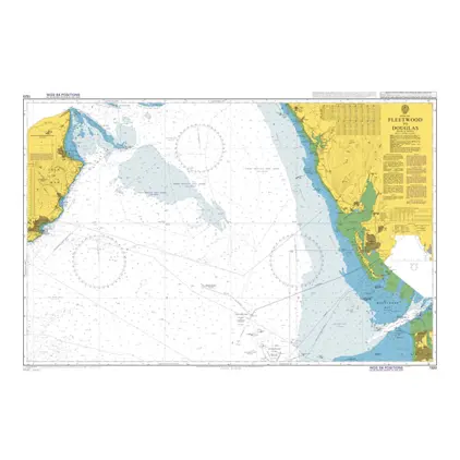
Nautical Chart 1320 Fleetwood to Douglas
Price DKK 525.31
Out of stock
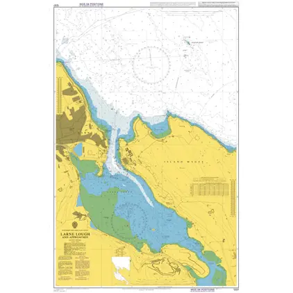
Nautical Chart 1237 Larne Lough and Approaches
Price DKK 525.31
Out of stock
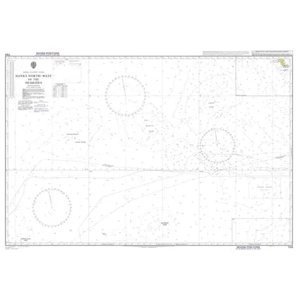
Nautical Chart 1129 Banks north-west of the Hebrides
Price DKK 525.31
Out of stock
Previous
1
...
8
9
10
11
Next
Close