North America W
ADMIRALTY nautical sea charts for Western North America.
View on map
81-96
of
96
products
Select an option
Country not found
List is empty.
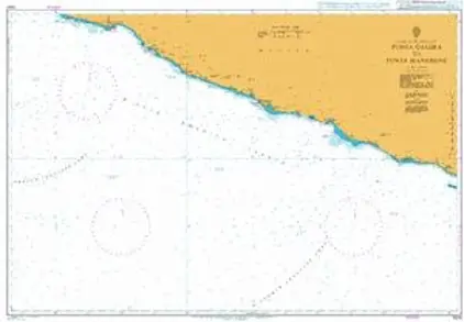
Nautical Chart 1024 Punta Galera to Mangrove
Price DKK 525.31
Out of stock
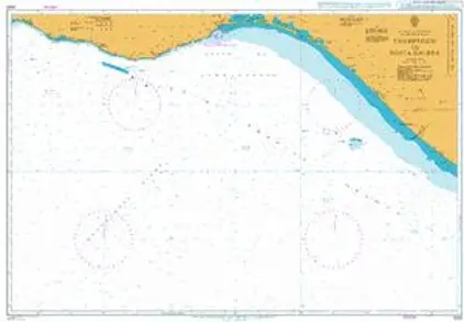
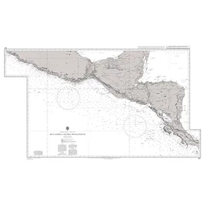
Nautical Chart 1023 Champerico to Punta Galera.
Price DKK 525.31
Out of stock
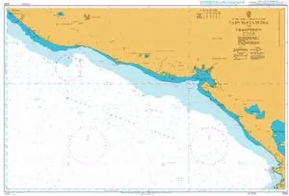
Nautical Chart 1022 Cabo Santa Elena/Cham
Price DKK 525.31
Out of stock
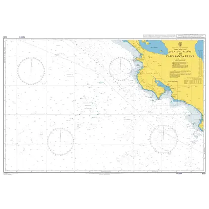
Nautical Chart 1021 Isla del Cano to Cabo Santa Elena
Price DKK 525.31
Out of stock
Nautical Chart 1017 Golfo de California
Price DKK 525.31
Out of stock
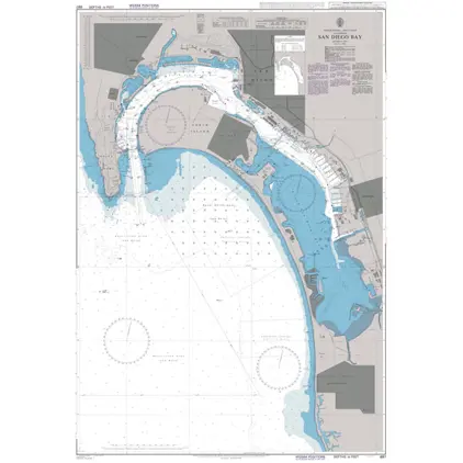
Nautical Chart 897 San Diego Bay
Price DKK 525.31
Out of stock
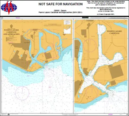
Nautical Chart 655 Puerto Lazaro Cardenas and Approaches
Price DKK 525.31
Out of stock
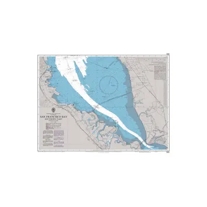
Nautical Chart 592 San Francisco Bay, southern part
Price DKK 525.31
Out of stock
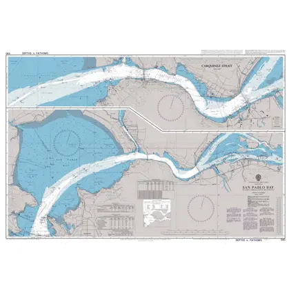
Nautical Chart 590 San Pablo Bay
Price DKK 525.31
Out of stock
Nautical Chart 587 Porto de Paranagua
Price DKK 525.31
Out of stock
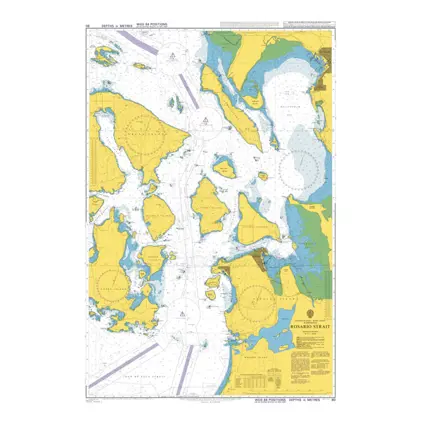
Nautical Chart 80 Rosario Strait
Price DKK 525.31
Out of stock
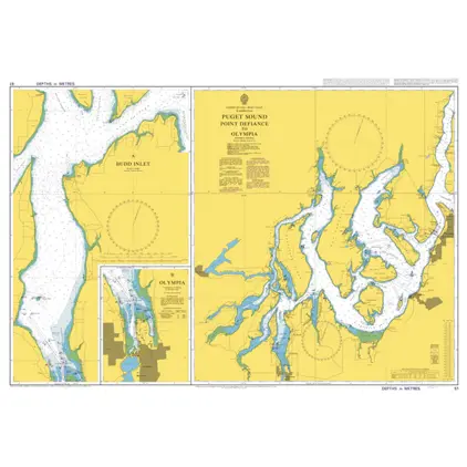
Nautical Chart 51 Washington, Puget Sound, Point Defiance to Olympia.
Price DKK 525.31
Out of stock
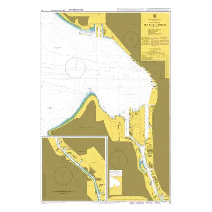
Nautical Chart 50 Washington, Puget Sound, Seattle Harbor.
Price DKK 525.31
Out of stock
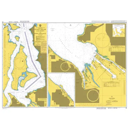
Nautical Chart 48 Puget Sound, Alki Point to Point Defiance.
Price DKK 525.31
Out of stock
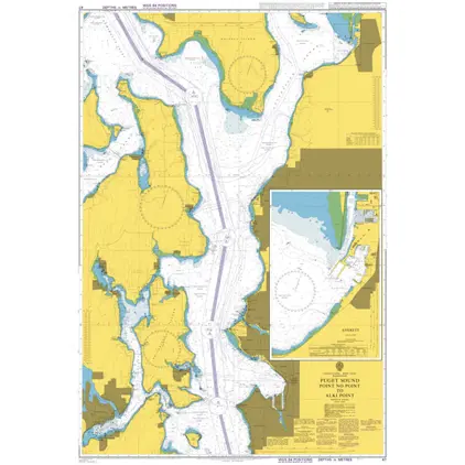
Nautical Chart 47 Puget Sound, Point no Point to Alki Point.
Price DKK 525.31
Out of stock
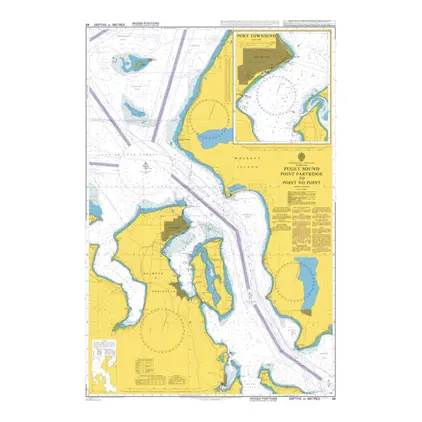
Nautical Chart 46 Puget Sound, Point Partridge to Point No Point
Price DKK 525.31
Out of stock
Previous
1
...
3
4
5
Next
View on map
Close
Close