North America W
ADMIRALTY nautical sea charts for Western North America.
View on map
61-80
of
96
products
Select an option
Country not found
List is empty.
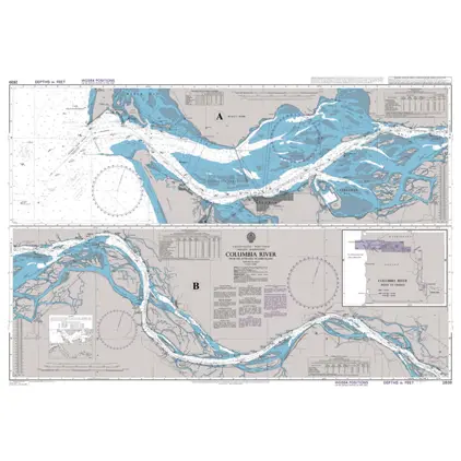
Nautical Chart 2839 Columbia River
Price DKK 525.31
Out of stock
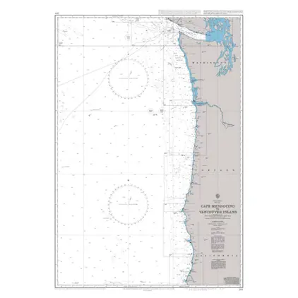
Nautical Chart 2531 Cape Mendocino
Price DKK 525.31
Out of stock
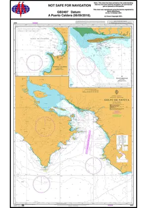
Nautical Chart 2497 Golfo de Nicoya
Price DKK 525.31
Out of stock
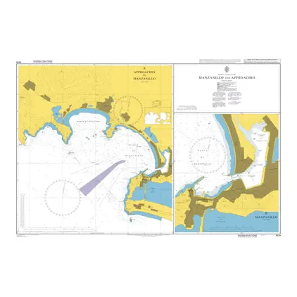
Nautical Chart 1979 Manzanillo and appr.
Price DKK 525.31
Out of stock
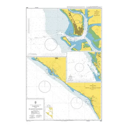
Nautical Chart 1969 Corinto & Puerto Sandino
Price DKK 525.31
Out of stock
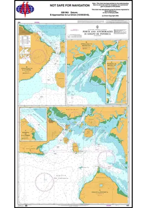
Nautical Chart 1961 Ports & App Golfo Fonseca
Price DKK 525.31
Out of stock
Nautical Chart 1947 Admiralty Inlet & Puget Sound
Price DKK 525.31
Out of stock
Nautical Chart 1946 Guatemala & El Salvador
Price DKK 525.31
Out of stock
Nautical Chart 1938 Ensenada & Approaches
Price DKK 525.31
Out of stock
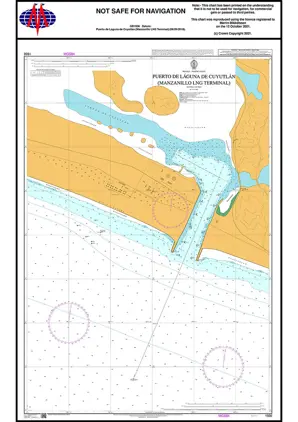
Nautical Chart 1936 Puerto Laguna Cuyutla
Price DKK 525.31
Out of stock
Nautical Chart 1717 Port Angeles
Price DKK 525.31
Out of stock
Nautical Chart 1501 Dongijakou Shi.Gangqu
Price DKK 525.31
Out of stock
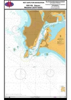
Nautical Chart 1106 West Coast, Mazatlan
Price DKK 525.31
Out of stock
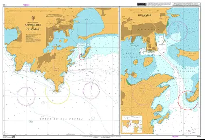
Nautical Chart 1105 Approaches to Guaymas
Price DKK 525.31
Out of stock
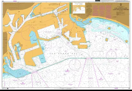
Nautical Chart 1081 Los Angeles and Long Beach Harbors
Price DKK 525.31
Out of stock
Nautical Chart 1049 Punta Colnett to Rosarito
Price DKK 525.31
Out of stock
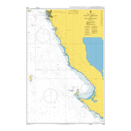
Nautical Chart 1029 Punta Abreojos San Diego Bay
Price DKK 525.31
Out of stock
Nautical Chart 1028 Cabo Falso to Punta Abreojos
Price DKK 525.31
Out of stock
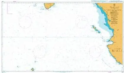
Nautical Chart 1027 App to Golfo de California
Price DKK 525.31
Out of stock
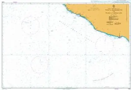
Nautical Chart 1026 Mangrove to Punta Farallon
Price DKK 525.31
Out of stock
Previous
1
2
3
4
5
Next
View on map
Close
Close