Africa
The full range of ADMIRALTY nautical sea charts for East and West Africa.
View on map
161-180
of
198
products
Select an option
Country not found
List is empty.
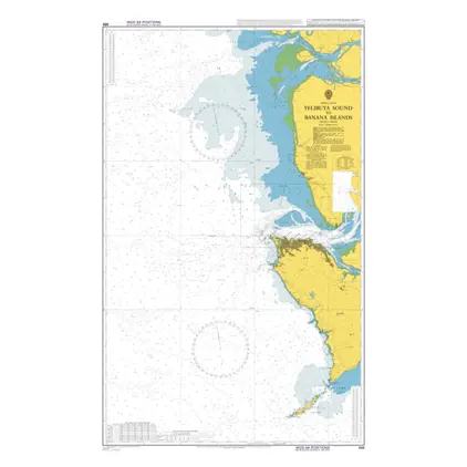
Nautical Chart 686 Yelibuya Sound/Banana
Price DKK 525.31
Out of stock
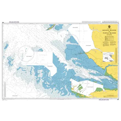
Nautical Chart 685 Banana Islands to Turtle Islands.
Price DKK 525.31
Out of stock
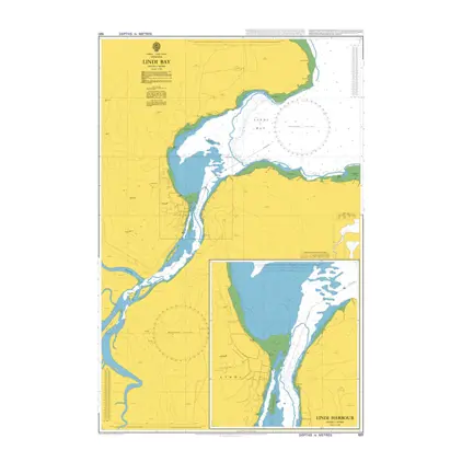
Nautical Chart 681 Lindi Bay/Lindi Harbou
Price DKK 525.31
Out of stock
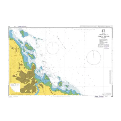
Nautical Chart 674 App. to Dar es Salaam
Price DKK 525.31
Out of stock
Nautical Chart 671 Somalia: Appr. to Muqdisho and Marka Anchorage
Price DKK 525.31
Out of stock
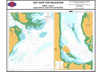
Nautical Chart 669 App. to Lamu Port
Price DKK 525.31
Out of stock
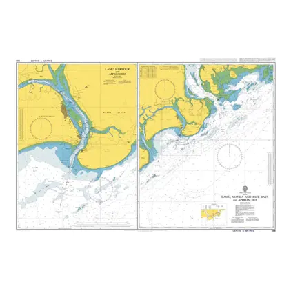
Nautical Chart 668 Lamu, Manda & Pate Bays and approaches
Price DKK 525.31
Out of stock
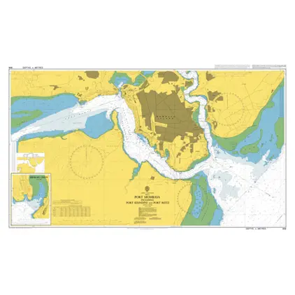
Nautical Chart 666 Port Mombasa, Kilindini, Reitz
Price DKK 525.31
Out of stock
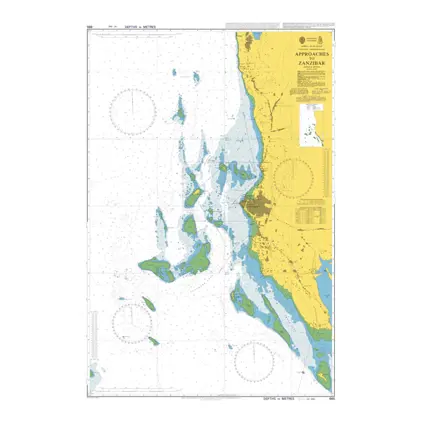
Nautical Chart 665 Approaches to Zanzibar
Price DKK 525.31
Out of stock
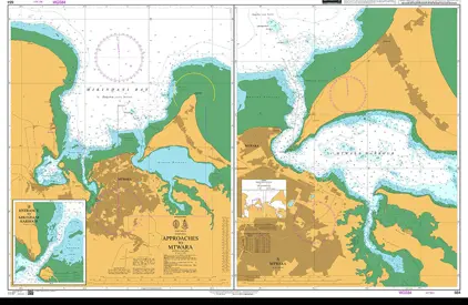
Nautical Chart 664 App to Mtwara
Price DKK 525.31
Out of stock
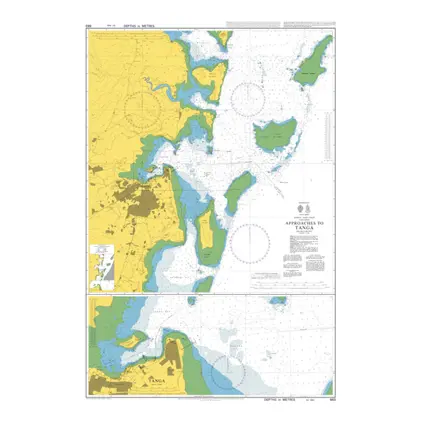
Nautical Chart 663 Approaches to Tanga
Price DKK 525.31
Out of stock
Nautical Chart 661 Africa: East Tanzania
Price DKK 525.31
Out of stock
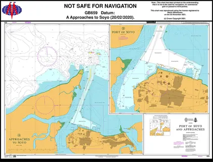
Nautical Chart 659 Port of Soyo and App.
Price DKK 525.31
Out of stock
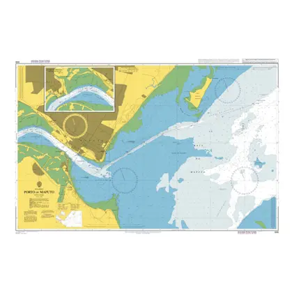
Nautical Chart 646 Porto de Maputo
Price DKK 525.31
Out of stock
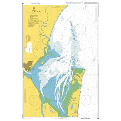
Nautical Chart 644 Baia de Maputo
Price DKK 525.31
Out of stock
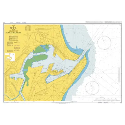
Nautical Chart 643 Durban Harbour
Price DKK 525.31
Out of stock
Nautical Chart 625 Sierra Leone River
Price DKK 525.31
Out of stock
Nautical Chart 623 Tagrin Point to Pepel Pepel
Price DKK 525.31
Out of stock
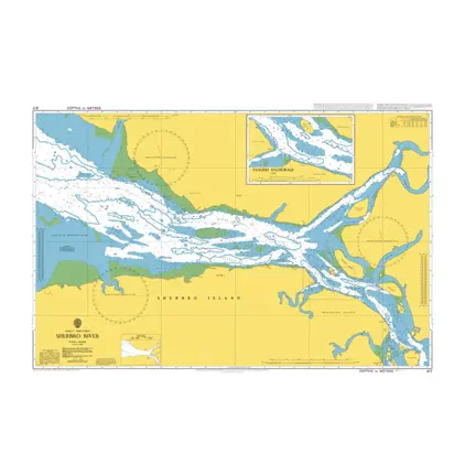
Nautical Chart 617 Sherbro River
Price DKK 525.31
Out of stock
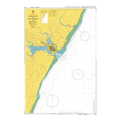
Nautical Chart 616 Mombasa Approaches
Price DKK 525.31
Out of stock
Previous
1
...
7
8
9
10
Next
View on map
Close
Close