Africa
The full range of ADMIRALTY nautical sea charts for East and West Africa.
View on map
141-160
of
198
products
Select an option
Country not found
List is empty.
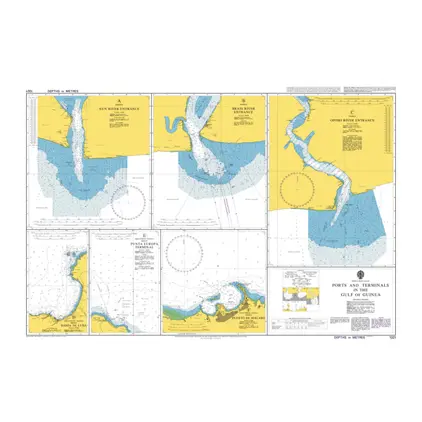
Nautical Chart 1321 Gulf of Guinea: ports
Price DKK 525.31
Out of stock
Nautical Chart 1236 Saldanha Bay
Price DKK 525.31
Out of stock
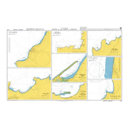
Nautical Chart 1215 Plans on the Coast of Angola
Price DKK 525.31
Out of stock
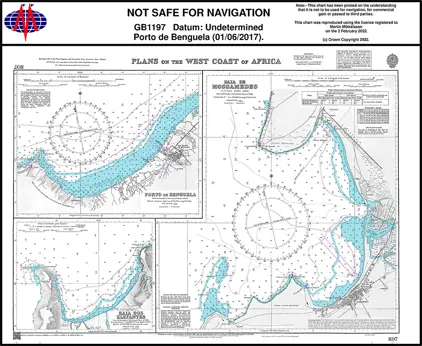
Nautical Chart 1197 Plans on the West Coast of Africa
Price DKK 525.31
Out of stock
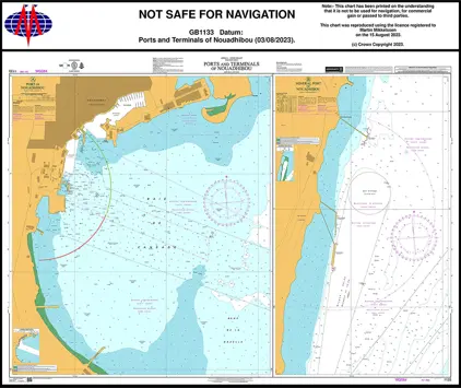
Nautical Chart 1133 P & T of Nouadhibou
Price DKK 525.31
Out of stock
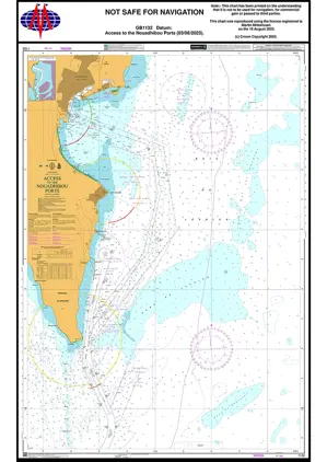
Nautical Chart 1132 Acce Nouadhibou Ports
Price DKK 525.31
Out of stock
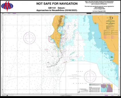
Nautical Chart 1131 App. to Nouadhibou
Price DKK 525.31
Out of stock
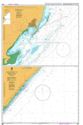
Nautical Chart 1052 Approaches to Kismaay
Price DKK 525.31
Out of stock
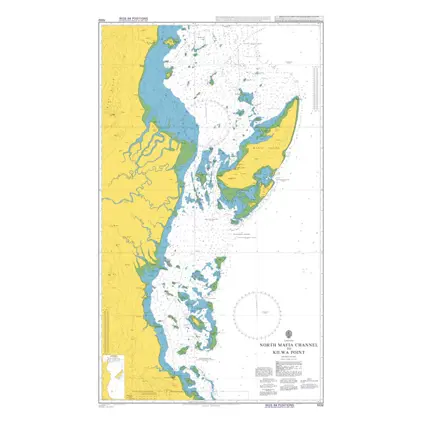
Nautical Chart 1032 North Mafia Channel to Kilwa Point.
Price DKK 525.31
Out of stock
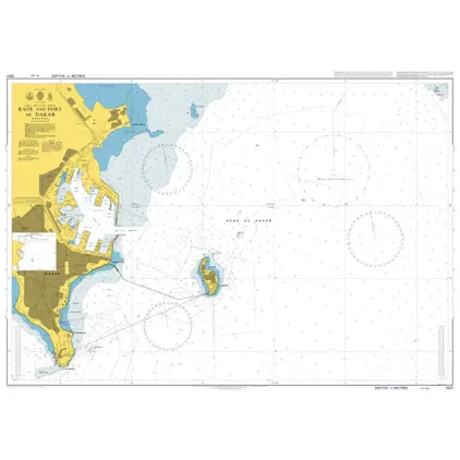
Nautical Chart 1001 Dakar Port And Roadstead
Price DKK 525.31
Out of stock
Nautical Chart 1000 Approaches to Dakar, Baie de Goree
Price DKK 525.31
Out of stock
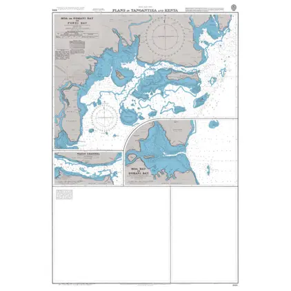
Nautical Chart 866 Tanganyika & Kenya: plans
Price DKK 525.31
Out of stock
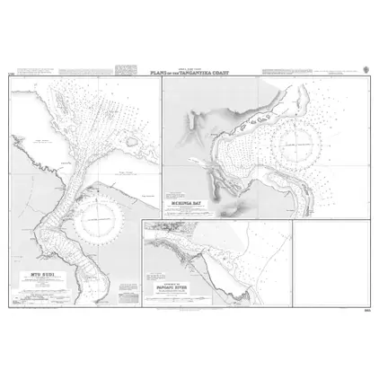
Nautical Chart 865 Tanganyika, coast: plans
Price DKK 525.31
Out of stock
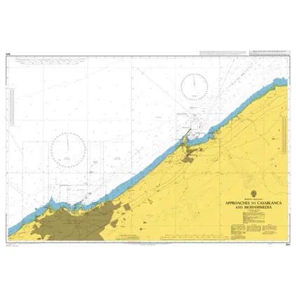
Nautical Chart 861 App. to Casablanca
Price DKK 525.31
Out of stock
Nautical Chart 860 App.to Casablanca
Price DKK 525.31
Out of stock
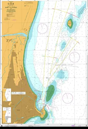
Nautical Chart 696 Port Passes of Toamasina (Tamatave).
Price DKK 525.31
Out of stock
Nautical Chart 695 Approaches to Toamasina (Tamatave).
Price DKK 525.31
Out of stock
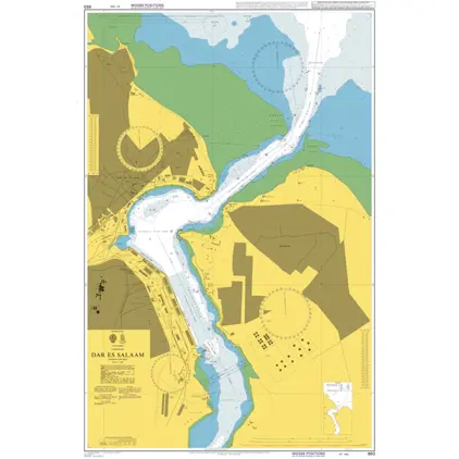
Nautical Chart 693 Tanzania, Dar Es Salaam
Price DKK 525.31
Out of stock
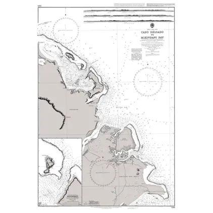
Nautical Chart 690 Cabo Delgado/Mikindani
Price DKK 525.31
Out of stock
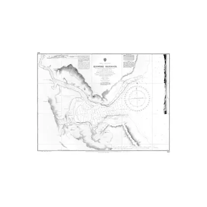
Nautical Chart 687 Kiswere Harbour
Price DKK 525.31
Out of stock
Previous
1
...
6
7
8
9
10
Next
View on map
Close
Close