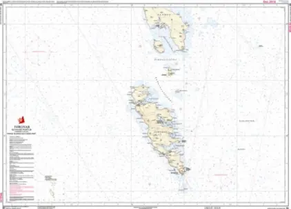
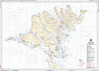
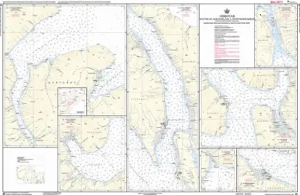
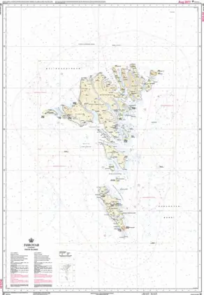
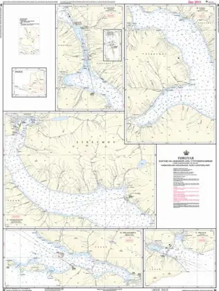
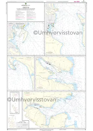
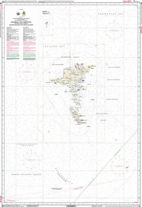
Faroe Islands

See our selection of Geodatastyrelsen's official paper charts for Faroese waters in various scales, ensuring they fit for planning and navigation while ensuring top-tier safety. Experience the steep cliffs, green grass, and raw nature of the Faroe Islands from the sea - it's indeed an extraordinary experience of nature!

View on map
1-8 of 8 products
Select an option
  1. Nautical Chart 82 Faroe Islands northern part

    DKK 295.00
    Out of stock
  2. Nautical Chart 83 Faroe Islands Southern part

    DKK 295.00
    Out of stock
  3. Nautical Chart 86 Færøerne Southern Part Harbours & Anchorages

    DKK 295.00
    Out of stock
  4. Nautical Chart 85 Faroe Islands Harbours and anchorages North-Eastern part

    DKK 295.00
    Out of stock
  5. Nautical Chart 84 Faroe Islands NW Ports & anchorages

    DKK 295.00
    Out of stock
  6. Nautical Chart 81 Færøerne (fiskerigrænse)

    DKK 295.00
    Out of stock
  7. Nautical Chart 80 Waters around the Faroe Islands

    DKK 295.00
    Out of stock
  8. Nautical Chart F Føroyar Vid Havøkjum

    DKK 295.00
    Out of stock
View on map
Close