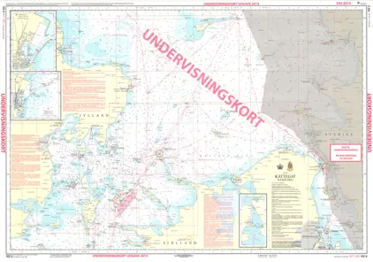
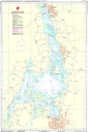
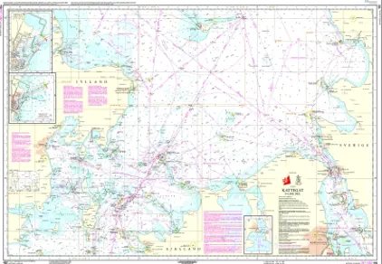
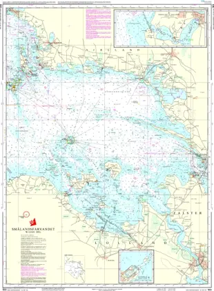
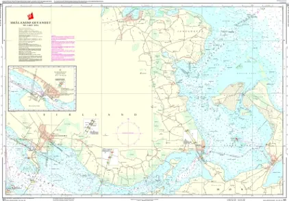
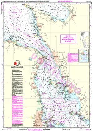
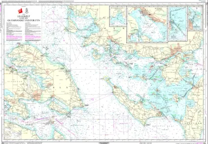
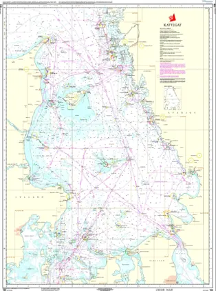
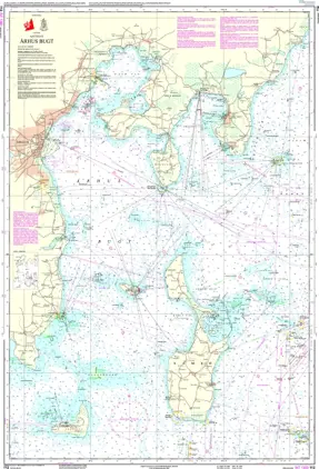
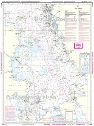
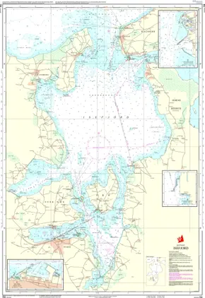
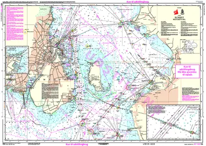
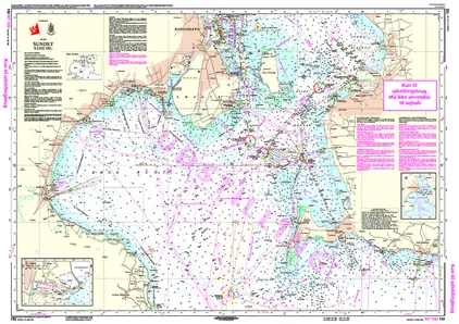
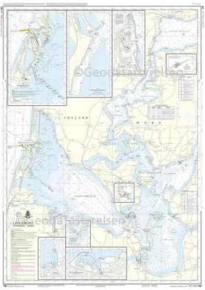
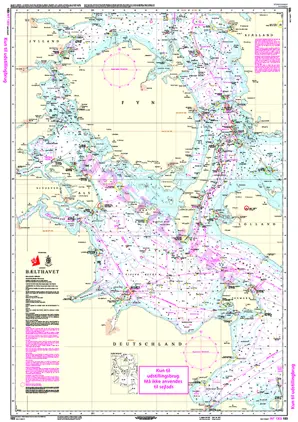
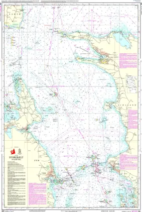
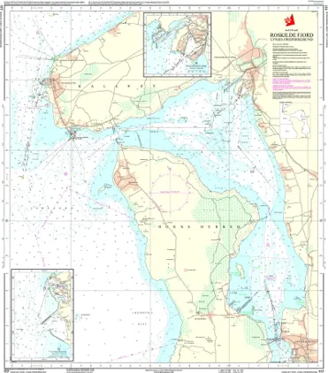
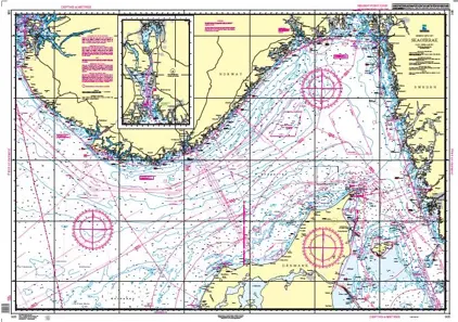
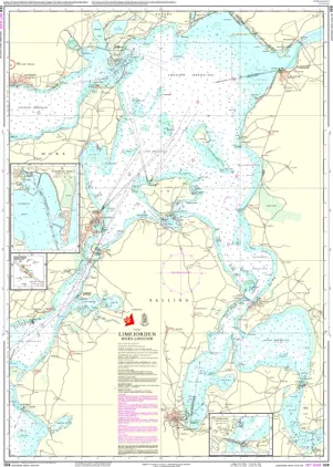
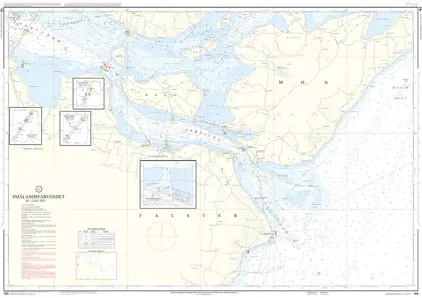
Language:
English
Currency & Delivery Country:
Other NON-EU countries (USD)  
Cart: 0
c 0 USD
Navigation

NGA and NOAA Nautical Charts (World Wide)

Nautical charts from National Oceanic and Atmospheric Administration (NOAA) and National Geospatial-Intelligence Agency (NGA) Printed on Demand (POD) by Weilbach.

  • NOAA Nautical Charts

    Over 1.100 Standard Nautical Charts (SNC) are available from NOAA and covers all US waters in various levels of detail depending on the density of traffic and hazards.


  • NGA Nautical Charts

    Over 600 Standard Nautical Charts (SNC) are available from NGA and covers waters outside the USA.


    Large-scale charts often cover approaches and entrances to harbours, medium-scale charts cover heavily used coastal areas, and small-scale charts are for navigation in more open areas.

    NOAA and NGA standard nautical charts use the Mercator projection so that bearings can be transferred to (or taken from) the charts directly.


  • Carriage Compliant

    Nautical charts produced by NOAA and NGA and printed by Weilbach comply with the Safety of Life at Sea (SOLAS) regulations and are issued for mariners who are subject to the SOLAS Convention and are used for passage planning, ocean crossings, coastal navigation and entering port.


  • Chart Corrections

    Weilbach is authorised to print SOLAS compliant POD paper nautical charts from NOAA covering US waters and NGA with global coverage. This means all NOAA and NGA charts are corrected up to date when shipped from Weilbach.

    Corrections to NOAA nautical charts are published in the weekly Notice to Mariners (NtM). Corrections to NOAA nautical charts can be downloaded.


We use cookies to ensure that you get the best experience on our site. READ MORE

OK!