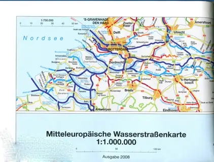
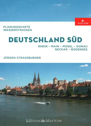
Language:
English
Currency & Delivery Country:
Other NON-EU countries (USD)  
Cart: 0
c 0 USD
Navigation

Inland Waterways Maps

  • Weilbach Inland Waterway Charts

    At Weilbach you can buy inland waterway charts from all major publishers such as:

    - Fluvia

    - Imray

    - ANWB

    - Edition Maritime


  • CEVNI

    CEVNI is the European Code for Navigation on Inland Waterways (Code Européen des Voies de la Navigation Intérieure - CEVNI) which is the European code for rivers, canals and lakes in most of Europe except the United Kingdom, the Nordic countries, Spain, Italy and the Balkans except Croatia all having their own regulations.

    CEVNI contains uniform rules on visual signs, sound signals and radiotelephony, waterway signs and markings, rules of the road, berthing rules etc.

    Learn about the CEVNI rules before you navigate European inland waterways.


  • Inland Waterway Charts

    Inland waterways are rivers, lakes and canals. Inland waterway charts are different from standard nautical charts - they are a mixture of a nautical chart, a pilot chart and a harbour pilot and very often they a published in books or on folded maps. Standard nautical charts normally come in an A0 format.


We use cookies to ensure that you get the best experience on our site. READ MORE

OK!