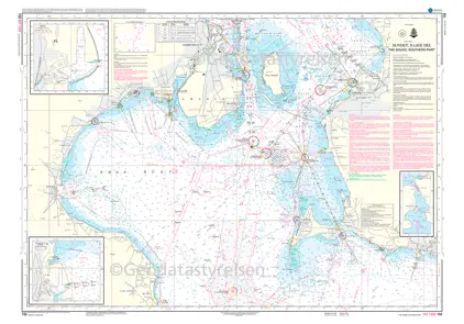
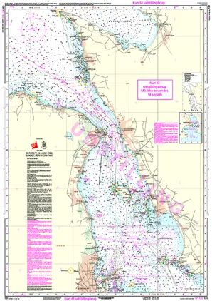
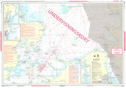
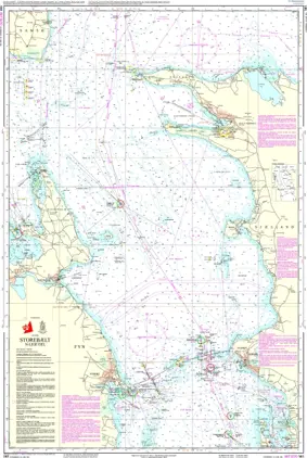
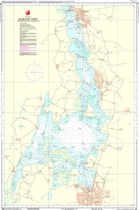
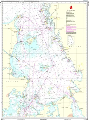
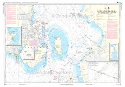
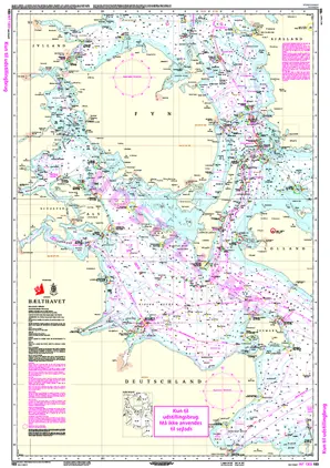
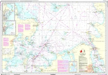
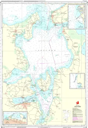
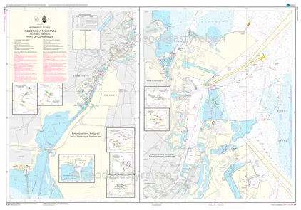
1810 IJsselmeer & Randmeren

Varenummer 16518100
Pris 412,01 kr.
Pris ekskl. moms 329,61 kr.
Kort nr. 1810
Udgivelse januar 2021
Målestok 1:100000
Forfatter NL Hydrographic Office
ISBN 8717073815227
Pris: 412,01 kr.

1810

Netherlands HydrographicOffice Netherlands Hydrographic Office Small Craft Charts. The 1800 series charts are produced by the Netherlands Hydrographic Office for smaller SOLAS shipping (Safety Of Life At Sea) and recreational purposes. The series consist of 8 atlases with an average of 9 charts (loose-leaf)within each set. The charts cover the Netherlands and Belgian coasts, the Wadden Sea, the IJsselmeer and the Zeeland delta area. Each atlas contains an overall chart of the coverage as well as area enlargements at large scale with plans. They are essential to navigators entering Dutch waters and onward to the inland waterways system. This chart is no longer published annually but at intervals to be announced Size A2. 590 x 420mm in plastic wallet