Charts

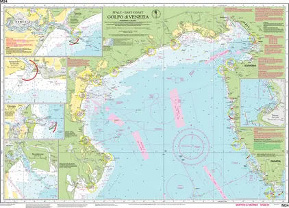
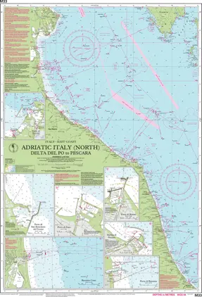
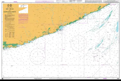
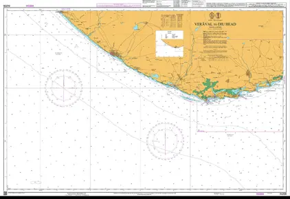
Nautical charts are an indispensable tool and source of information for sailors and mariners. They contain a wide range of important details, including sea depths and the location of buoys and lighthouses, as well as landmarks to help mariners identify their position and orient themselves in relation to the coastline.
1561-1580 5004
Select an option
  1. Nautical Chart IN207 Diu Head to Gopnath

    DKK 542.23
  2. Nautical Chart IN206 Veräval to Diu Head

    DKK 542.23
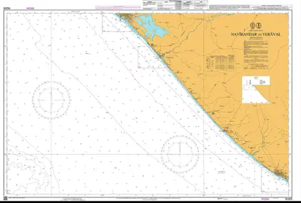
  3. Nautical Chart IN205 Navibandar to Veraval

    DKK 542.23
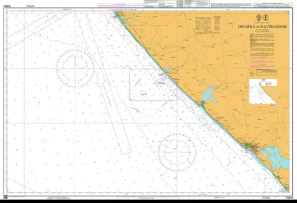
  4. Nautical Chart IN204 Dwarka / Navibandar

    DKK 542.23
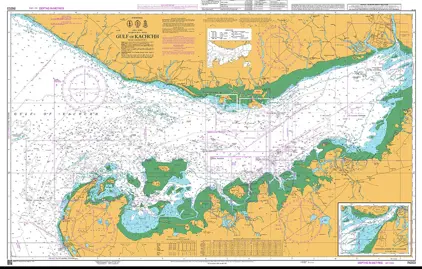
  5. Nautical Chart IN203 Gulf of Kachchh

    DKK 542.23
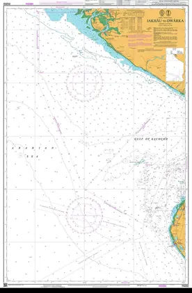
  6. Nautical Chart IN202 Jakhau to Dwarka

    DKK 542.23
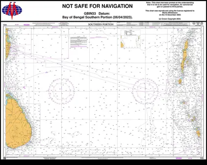
  7. Nautical Chart IN33 Bay of Bengal, South Part

    DKK 542.23
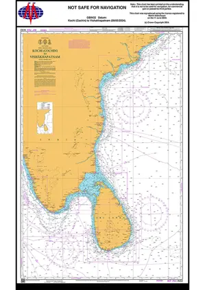
  8. Nautical Chart IN32 Kochi /Vishakhapatnam

    DKK 542.23
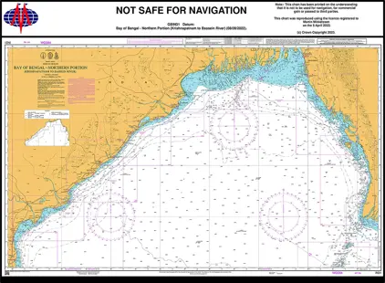
  9. Nautical Chart IN31 Bay of Bengal North

    DKK 542.23
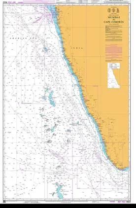
  10. Nautical Chart IN22 Mumbai Cape Comorin

    DKK 542.23
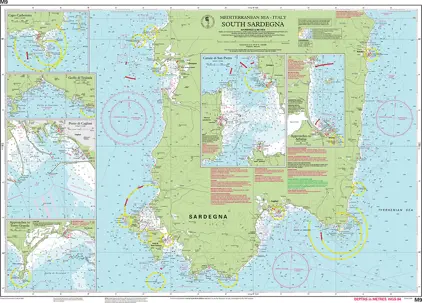
  11. Nautical Chart M9 South Sardegna

    DKK 268.86
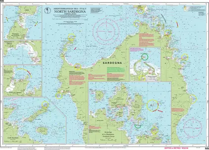
  12. Nautical Chart M8 North Sardegna

    DKK 268.86
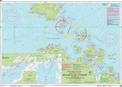
  13. Nautical Chart M7 Bonifacio Strait

    DKK 268.86
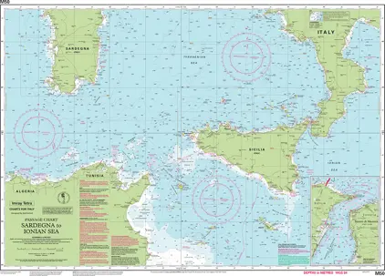
  14. Nautical Chart M50 Sardegna to Ionian Sea

    DKK 268.86
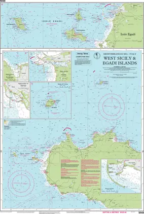
  15. Nautical Chart M49 West Sicily and Egadi Isla

    DKK 268.86
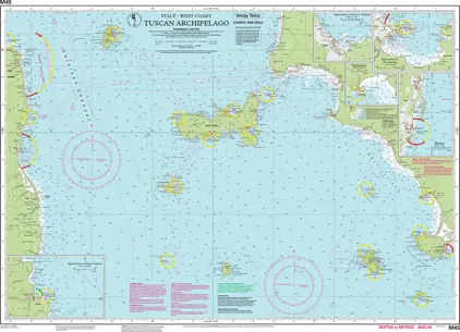
  16. Nautical Chart M45 Tuscan Archipelago

    DKK 268.86
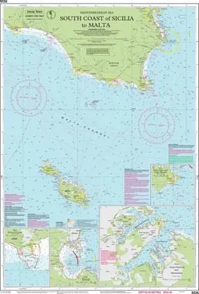
  17. Nautical Chart M36 South Coast of Sicilia to Malta

    DKK 268.86
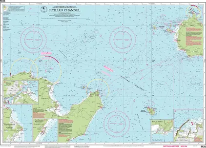
  18. Nautical Chart M35 Sicilian Channel

    DKK 268.86
  19. Nautical Chart M34 Golfo di Venezia

    DKK 268.86
  20. Nautical Chart M33 Adriatic Italy (North)

    DKK 268.86