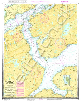
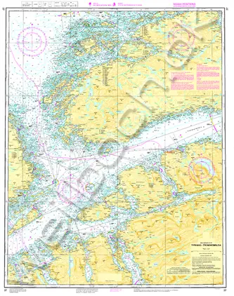
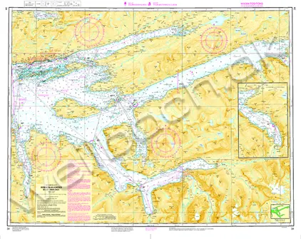
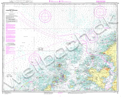
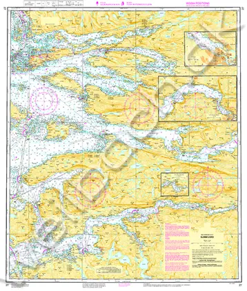
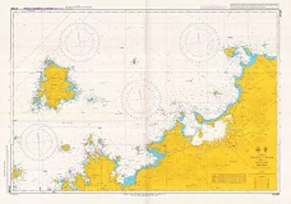
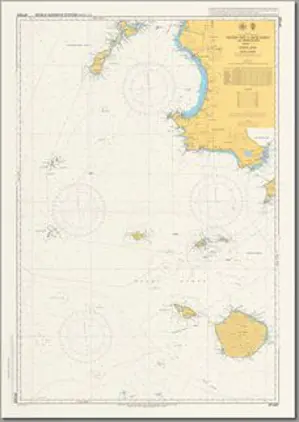
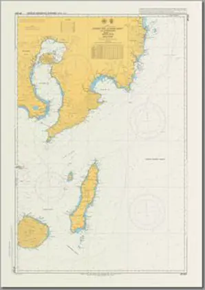
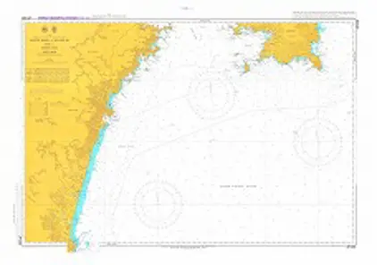
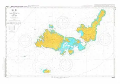
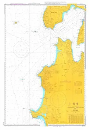
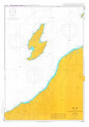
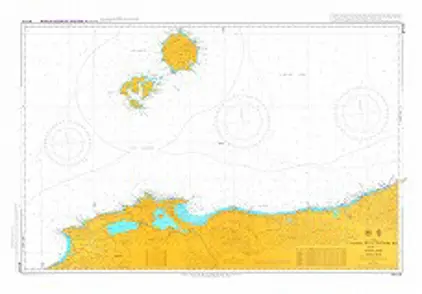
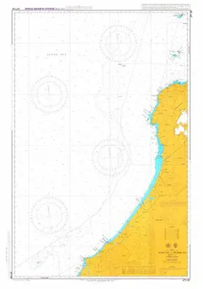
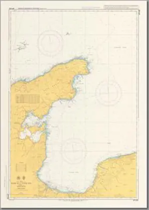
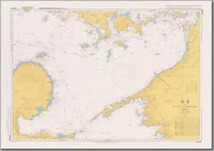
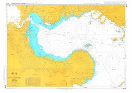
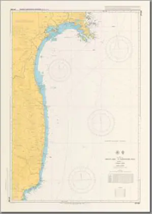
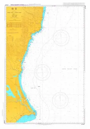
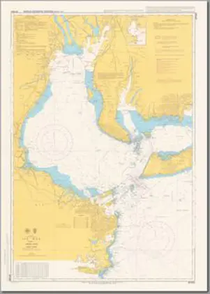
Charts

Nautical charts are an indispensable tool and source of information for sailors and mariners. They contain a wide range of important details, including sea depths and the location of buoys and lighthouses, as well as landmarks to help mariners identify their position and orient themselves in relation to the coastline.

View on map
1401-1420 of 6095 products
Select an option
  1. Norwegian Map 112 Ørlandet SØR

    Price DKK 150.04
    Out of stock
  2. Norwegian Map 112 Ørlandet NORD

    Price DKK 150.04
    Out of stock
  3. Norwegian Map 111 Froan NORD

    Price DKK 150.04
    Out of stock
  4. Norwegian Map 110 Hitra SØR

    Price DKK 150.04
    Out of stock
  5. Norwegian Map 110 Hitra NORD

    Price DKK 150.04
    Out of stock
  6. Norwegian Map 109 Frøya SØR

    Price DKK 150.04
    Out of stock
  7. Norwegian Map 108 Meråker - Tydal SØR

    Price DKK 150.04
    Out of stock
  8. Norwegian Map 108 Meråker - Tydal NORD

    Price DKK 150.04
    Out of stock
  9. Norwegian Map 107 Selbu SØR

    Price DKK 150.04
    Out of stock
  10. Norwegian Map 107 Selbu NORD

    Price DKK 150.04
    Out of stock
  11. Norwegian Map 106 Trondheim SØR

    Price DKK 150.04
    Out of stock
  12. Norwegian Map 106 Trondheim NORD

    Price DKK 150.04
    Out of stock
  13. Norwegian Map 105 Orkanger SØR

    Price DKK 150.04
    Out of stock
  14. Norwegian Map 105 Orkanger NORD

    Price DKK 150.04
    Out of stock
  15. Norwegian Map 104 Kyrksæterøra SØR

    Price DKK 150.04
    Out of stock
  16. Norwegian Map 104 Kyrksæterøra NORD

    Price DKK 150.04
    Out of stock
  17. Norwegian Map 103 Kristiansund SØR

    Price DKK 150.04
    Out of stock
  18. Norwegian Map 103 Kristiansund NORD

    Price DKK 150.04
    Out of stock
  19. Norwegian Map 102 Grip SØR

    Price DKK 150.04
    Out of stock
  20. Norwegian Map 102 Grip NORD

    Price DKK 150.04
    Out of stock
View on map
Close