Charts

Nautical charts are an indispensable tool and source of information for sailors and mariners. They contain a wide range of important details, including sea depths and the location of buoys and lighthouses, as well as landmarks to help mariners identify their position and orient themselves in relation to the coastline.
View on map
6141-6154 of 6154 products
Select an option
  1. 1251 Umiarsualiviit Havneplan.

    DKK 295.00
    Out of stock
  2. 1162 Qarmat / Mågeløb

    DKK 295.00
    Out of stock
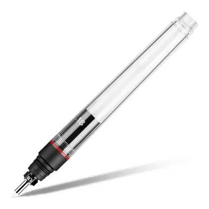
  3. Aristo Tuschpen 0,25 mm nib

    DKK 91.25
    Out of stock
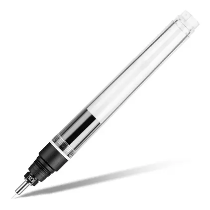
  4. Aristo Tuschpen 0,25 mm, Pen

    DKK 255.00
    Out of stock
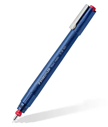
  5. Aristo Tuschpen 0,18 mm

    DKK 315.00
    Out of stock
  6. Aerocolor 28ml Violet Ink

    DKK 73.00
    Out of stock
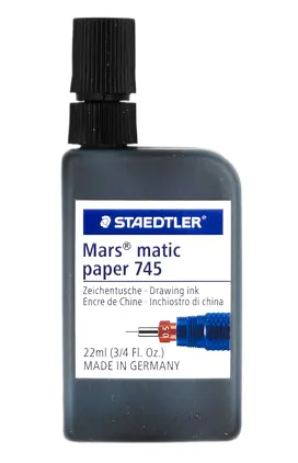
  7. Tusch Marsmatic, Sort 22ml

    DKK 53.49
    Out of stock
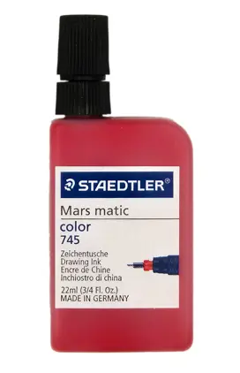
  8. Tusch Marsmatic, Rød 22ml

    DKK 53.49
    Out of stock
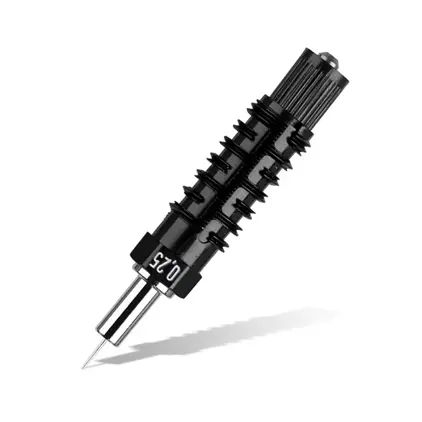
  9. Spids for Marsmatic Tushpen 0,25

    DKK 193.94
    Out of stock
  10. Nib for Marsmatic drawing pen, 0,18 mm

    DKK 172.54
    Out of stock
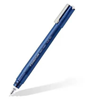
  11. Marsmatic Tushpen, 0,25

    DKK 229.69
    Out of stock
  12. Marsmatic Tushpen, 0,18

    DKK 219.75
    Out of stock
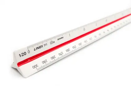
  13. Reduktions målestok nr. 311

    DKK 92.50
    Out of stock
    Book
  14. Nautical GPS Wheel

    Nautical GPS Wheel

    DKK 109.69
    Out of stock
View on map
Close