Charts

Nautical charts are an indispensable tool and source of information for sailors and mariners. They contain a wide range of important details, including sea depths and the location of buoys and lighthouses, as well as landmarks to help mariners identify their position and orient themselves in relation to the coastline.
View on map
4701-4720 of 5004 products
Select an option
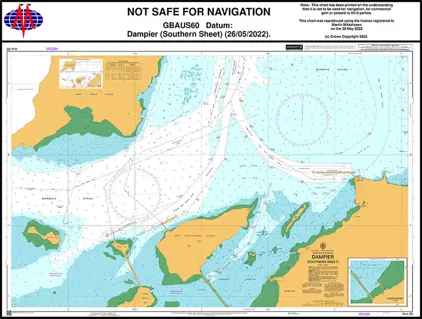
  1. Nautical Chart AUS 60 Dampier (S. Sheet)

    Price DKK 542.23
    Out of stock
  2. Nautical Chart AUS 59 Dampier (N. sheet)

    Price DKK 542.23
    Out of stock
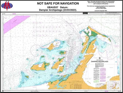
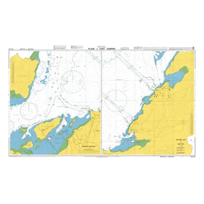
  3. Nautical Chart AUS 57 Dampier Archipelago

    Price DKK 542.23
    Out of stock
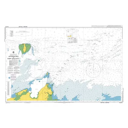
  4. Nautical Chart AUS 55 Approach Port Walcott

    Price DKK 542.23
    Out of stock
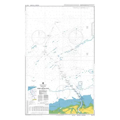
  5. Nautical Chart AUS 53 Appr. Port Hedland

    Price DKK 542.23
    Out of stock
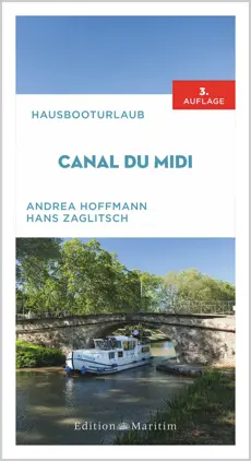
  6. Canal du Midi

    Price DKK 231.50
    Out of stock
    Book
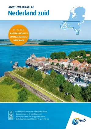
  7. ANWB Nederland Zuid

    Price DKK 455.56
    Out of stock
    Book
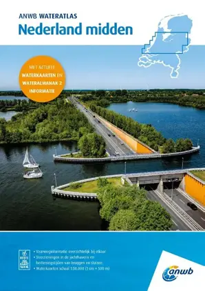
  8. ANWB Nederland Midden

    Price DKK 455.56
    Out of stock
    Book
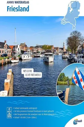
  9. ANWB Wateratlas Friesland

    Price DKK 325.40
    Out of stock
    Book
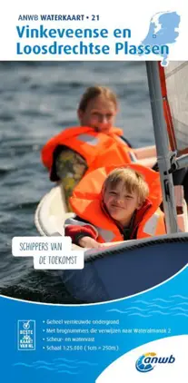
  10. ANWB Waterkaart 21 Vinkeveense

    Price DKK 325.40
    Out of stock
    Book
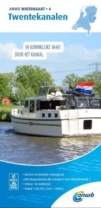
  11. ANWB Waterkaart 6 Twentekanal.

    Price DKK 325.40
    Out of stock
    Book
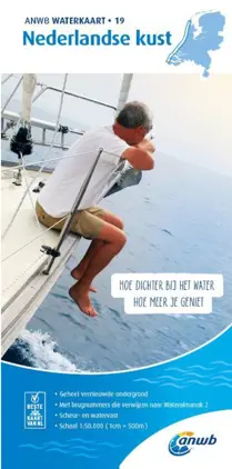
  12. ANWB Waterkaart 19 Nederlandse

    Price DKK 325.40
    Out of stock
    Book
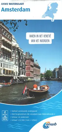
  13. ANWB Waterkaart Amsterdam

    Price DKK 325.40
    Out of stock
    Book
  14. ANWB Waterkaart 7 Gelderse Ij.

    Price DKK 325.40
    Out of stock
    Book
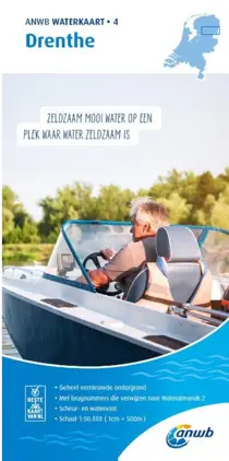
  15. ANWB Waterkaart 4 Drenthe

    Price DKK 325.40
    Out of stock
    Book
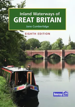
  16. Inland Waterways of Great Britain

    Price DKK 477.11
    Out of stock
    Book
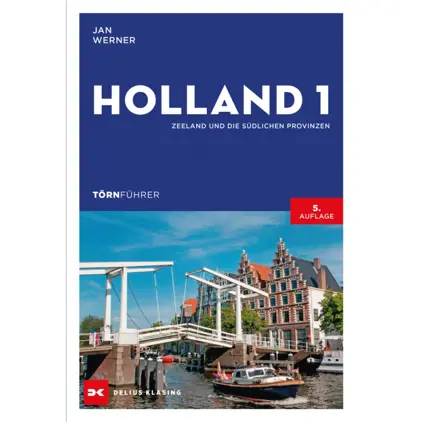
  17. Holland 1,Zeel.und sudl.Provin

    Price DKK 370.96
    Out of stock
    Book
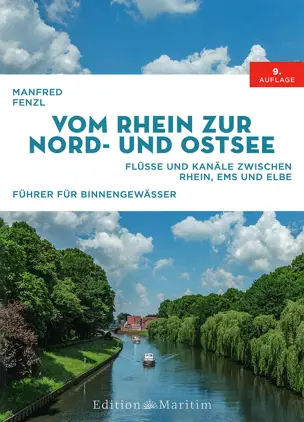
  18. Vom Rhein zur Nord- und Ostsee

    Price DKK 409.08
    Out of stock
    Book
  19. Charlie's Chart, Costa Rica

    Price DKK 729.70
    Out of stock
    Book
  20. Tracing Paper A4 á 250 stk.

    Price DKK 468.75
    Out of stock
    Book
View on map
Close