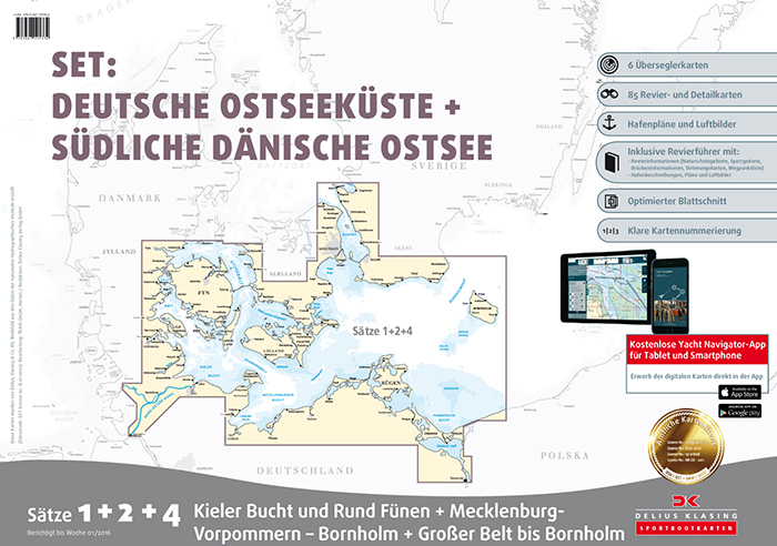
Yachting charts Set 1+2+4: German East Coast + Southwestern Baltic Sea
| Product number | 20600003 |
|---|---|
| Price | DKK 1,767.25 |
| Price ex. VAT | DKK 1,413.80 |
| Chart no. | SÄTZ 1,2,4 |
| Released | March 2025 |
| New Edition Expected | April 2026 |
| Author | Delius Klasing |
| ISBN | 9783667128737 |
Price
DKK 1,767.25
Save
Yachting charts Set 1+2+4: German East Coast + Southwestern Baltic Sea
Set 1+2+4 charts.
Sportbootkarten Satz 1, 2 & 4. Deutsche Ostsee und Südliche dänische Ostsee
PAPER & APP - (Dansk / Tysk)
Set 1 + 2 + 4, Mecklenburg-Vorpommern-Bornholm,
Great Belt-Bornholm, Kieler Bay & Fyn.
The set covers Fyn around incl.Kieler Bay & Kieler Canal, Great Belt South of Zealand to Bornholm as well as the southwest part of the Baltic Sea incl. Rügen.
Physical size of the cards is 61 x 45 cm
Free Yacht Navigator-App with digitale charts for one year use for
PC (Windows 7-10 64 bit)tablet and smartphone.