NGA Charts

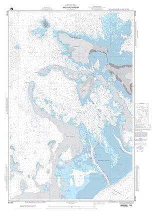
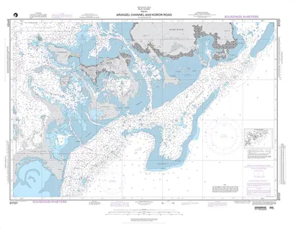
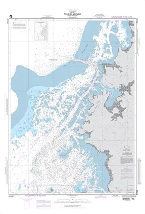
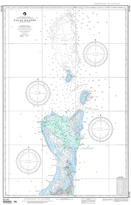
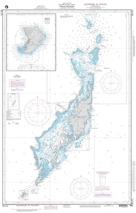
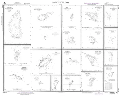
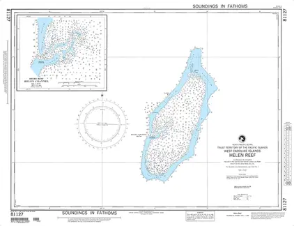
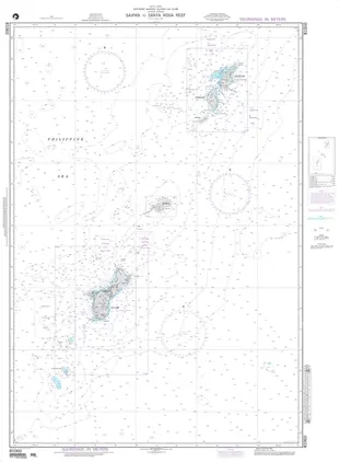
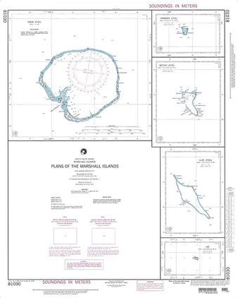
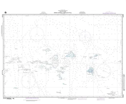
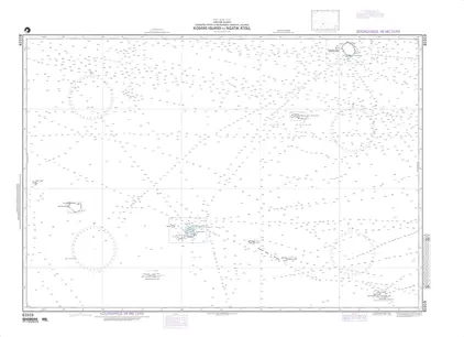
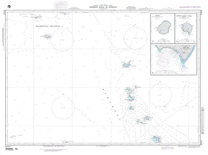
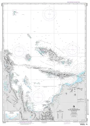
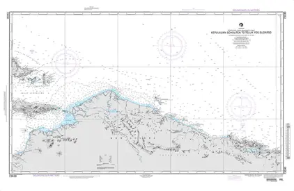
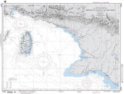
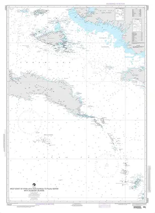
Nautical charts from the National Geospatial Agency - Printed On Demand (POD) for the latest information.

121-140 of 527 products
Select an option
  1. Nautical Chart 81145 PALAU IS NORTHERN PART

    DKK 250.61
    Out of stock
  2. Nautical Chart 81141 PALAU IS [CAROLINE ISLAND)

    DKK 250.61
    Out of stock
  3. Nautical Chart 81133 PULAP ATOLL, CAROLINE

    DKK 250.61
    Out of stock
  4. Nautical Chart 81127 HELEN REEF [WEST CAROLINE ISLAND]

    DKK 250.61
    Out of stock
  5. Nautical Chart 81060 SAIPAN TO SANTA ROSA

    DKK 250.61
    Out of stock
  6. Nautical Chart 81030 PLANS OF THE MARSHALL

    DKK 250.61
    Out of stock
  7. Nautical Chart 81023 NAMONUITO ATOLL TO FARAULEP

    DKK 250.61
    Out of stock
  8. Nautical Chart 81019 KOSRAE IS TO NGATIK

    DKK 250.61
    Out of stock
  9. Nautical Chart 81012 NORMORIK ATOLL TO NONOUTI

    DKK 250.61
    Out of stock
  10. Nautical Chart 81007 MARSHALL IS NORTHERN

    DKK 250.61
    Out of stock
  11. Nautical Chart 81002 CAROLINE ISLANDS - West

    DKK 250.61
    Out of stock
  12. Nautical Chart 81001 MINDANAO TO PALAU ISLAND

    DKK 250.61
    Out of stock
  13. Nautical Chart 73034 WAIGEO TO TELUK DORE

    DKK 250.61
    Out of stock
  14. Nautical Chart 73032 TELUK CENDERAWASIH

    DKK 250.61
    Out of stock
  15. Nautical Chart 73030 KEPULAUAN SCHOUTEN To Teluk

    DKK 250.61
    Out of stock
  16. Nautical Chart 73024 MERAUKE TO TANJUNG

    DKK 250.61
    Out of stock
  17. Nautical Chart 73022 West Coast of Irian

    DKK 250.61
    Out of stock
  18. Nautical Chart 73020 HALMAHERA TO GULF OF

    DKK 250.61
    Out of stock
  19. Nautical Chart 73018 WESTERN PART OF PULA

    DKK 250.61
    Out of stock
  20. Nautical Chart 73016 HALMAHERA AND ADJACE

    DKK 250.61
    Out of stock