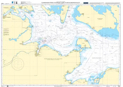
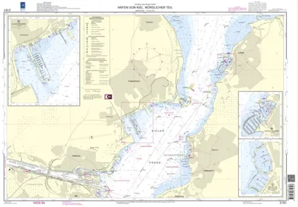
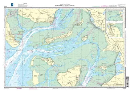
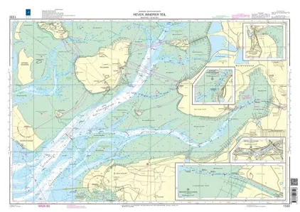
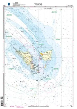
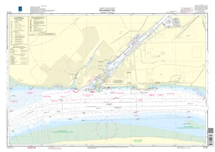
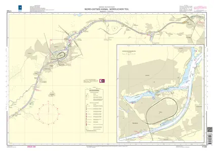
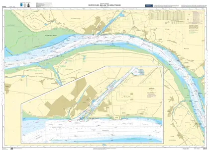
Germany

Weilbach provides an extensive range of official sea charts for navigating German coastal waters. The charts show accurate and detailed information to ensure a safe and smooth voyage, whether you're cruising for leisure or managing complex maritime routes.

View on map
1-20 of 139 products
Select an option
  1. Nautical Chart 2120 Flensburger Förde bis Sønderborg

    DKK 185.80
    Out of stock
  2. Nautical Chart DE 30 Flensburger Förde

    DKK 477.35
    Out of stock
  3. Nautical Chart DE 36 Fehmarn to Rügen

    DKK 477.35
    Out of stock
  4. Baltic Sea & Approaches

    DKK 539.85
    BookE-Book
  5. Nautical Chart 2100 Flensburg bis Fehmarn

    DKK 473.43
    Out of stock
    Book
  6. Nautical Chart DE 103 Spiekeroog to Rømø & Helgoland

    DKK 477.35
    Out of stock
  7. Nautical Chart DE 87 Bokum Neuwerk Helgoland

    DKK 477.35
    Out of stock
  8. Nautical Chart DE 26 Flensborg Fjord

    DKK 477.35
    Out of stock
  9. Nautical Chart 2181 Häfen von Kiel Nordlicher Teil

    DKK 185.80
    Out of stock
  10. Nautical Chart 2180 Ansteuerung von Kiel

    DKK 185.80
    Out of stock
  11. Nautical Chart 1620 Die Elbe von der Oste bis Brunsbüttel

    DKK 473.43
    Out of stock
  12. Nautical Chart 1711 Brunsbüttel

    DKK 185.80
    Out of stock
  13. Nautical Chart 2182 Häfen von Kiel Südlicher Teil

    DKK 185.80
    Out of stock
  14. Nautical Chart 1720 Nord-Ostsee Kanal Nördlicher Tail

    DKK 185.80
    Out of stock
  15. Nautical Chart 1710 Nord-Ostsee Kanal Südlicher Tail

    DKK 185.80
    Out of stock
  16. Nautical Chart 1400 Norderoogsand bis Rømø

    DKK 473.43
    Out of stock
  17. Nautical Chart 1610 Elbmündung mit Cuxhaven

    DKK 185.80
    Out of stock
  18. Nautical Chart DE 1672 Rostock & Warnemünde

    DKK 477.35
    Out of stock
  19. Nautical Chart DE 1516 Sassnitz

    DKK 477.35
    Out of stock
  20. Nautical Chart DE 164 Water between Møn/Rügen

    DKK 477.35
    Out of stock
View on map
Close