UKHO Charts
Browse our selection of detailed sea charts from the United Kingdom Hydrographic Office.
View on map
1701-1720
of
3765
products
Select an option
Country not found
List is empty.
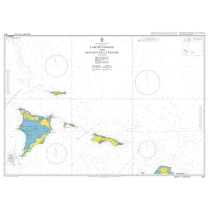
Nautical Chart 3914 Caicos & Mayaguana Passage
Price DKK 525.31
Out of stock
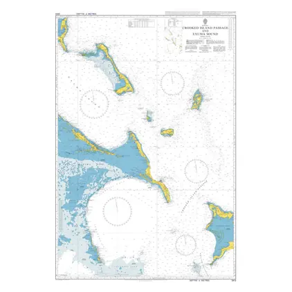
Nautical Chart 3913 Crooked Island Passag
Price DKK 525.31
Out of stock
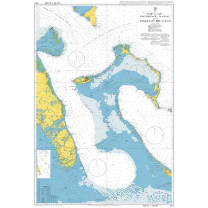
Nautical chart 3912 NE. Providence Channel Bahamas
Price DKK 525.31
Out of stock
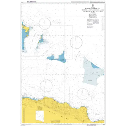
Nautical Chart 3908 Pass. betw. Turks & Caicos Island
Price DKK 525.31
Out of stock
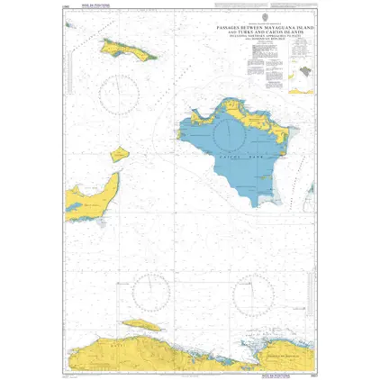
Nautical Chart 3907 Passages Mayaguana Islands
Price DKK 525.31
Out of stock
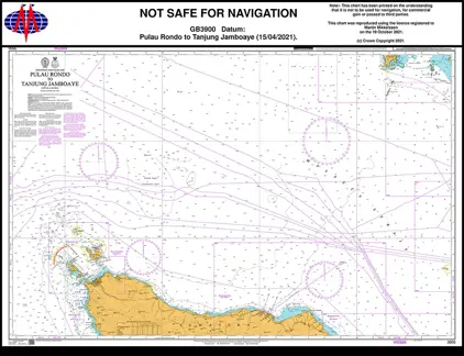
Nautical Chart 3900 Pulau Rondo to Tanjung
Price DKK 525.31
Out of stock
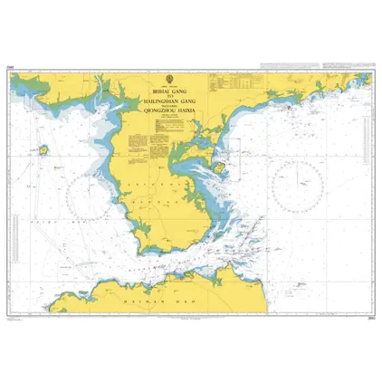
Nautical chart 3892 Beihai Gang-Hailingshan
Price DKK 525.31
Out of stock
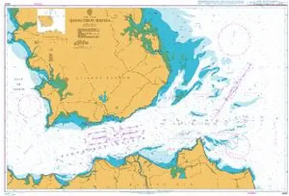
Nautical Chart 3890 Qiongzhou Haixia
Price DKK 525.31
Out of stock
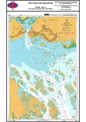
Nautical Chart 3889 Hon Gai & Approaches
Price DKK 525.31
Out of stock
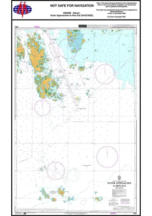
Nautical Chart 3888 Outer App. to Hon Gai
Price DKK 525.31
Out of stock
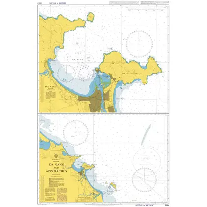
Nautical Chart 3884 Da Nang and approaches
Price DKK 525.31
Out of stock
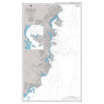
Nautical Chart 3883 Pointe Lagan to Cap
Price DKK 525.31
Out of stock
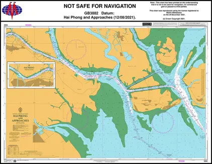
Nautical Chart 3882 Hai Phong & App.
Price DKK 525.31
Out of stock
Nautical Chart 3881 Outer App. Hai Phong
Price DKK 525.31
Out of stock
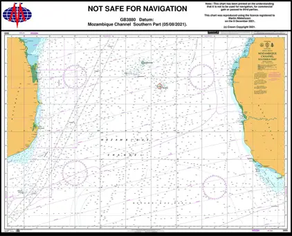
Nautical Chart 3880 Mozambique Channel, Southern Part
Price DKK 525.31
Out of stock
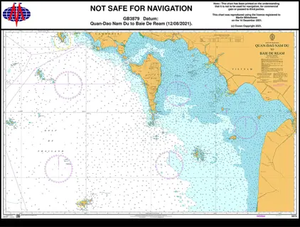
Nautical Chart 3879 Quan-Ðao Nam to Baie
Price DKK 525.31
Out of stock
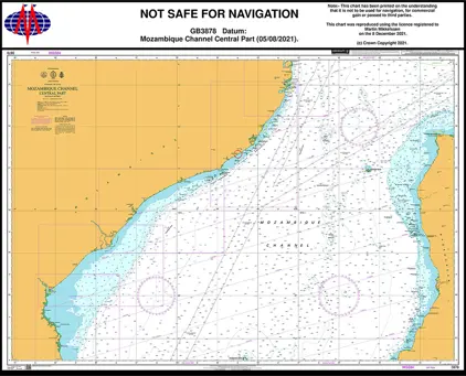
Nautical Chart 3878 Mozambique Chan. Central Part
Price DKK 525.31
Out of stock
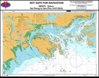
Nautical Chart 3875 Hai Phong to Can Pha
Price DKK 525.31
Out of stock
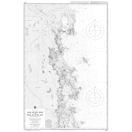
Nautical Chargt 3874 Baie de Qui Nhon to Baie
Price DKK 525.31
Out of stock
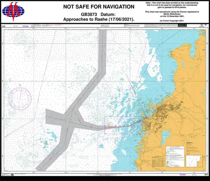
Nautical Chart 3873 Approaches to Raahe.
Price DKK 525.31
Out of stock
Previous
1
...
84
85
86
87
88
...
189
Next
View on map
Close
Close