UKHO Charts
Browse our selection of detailed sea charts from the United Kingdom Hydrographic Office.
View on map
121-140
of
3720
products
Select an option
Country not found
List is empty.
POD 5055 Newhaven/Calais,Instr
Price DKK 103.33
Out of stock
5124(5) North Atlantic Routeing Chart MAY
Price DKK 247.98
Out of stock
Nautical Chart 203 Nisos Zakinthos/Paxoi
Price DKK 525.31
Out of stock
Nautical Chart 2054 Oland/Gotland, Karmarsund
Price DKK 525.31
Out of stock
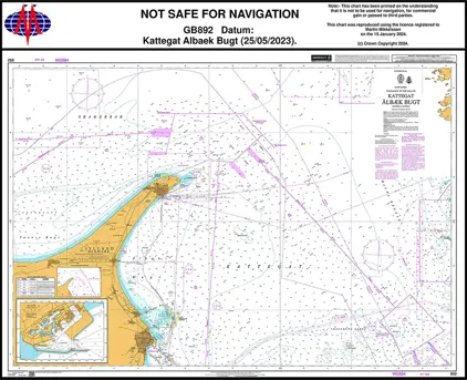
Nautical Chart 892 Kattegat Albaek Bugt
Price DKK 525.31
Out of stock
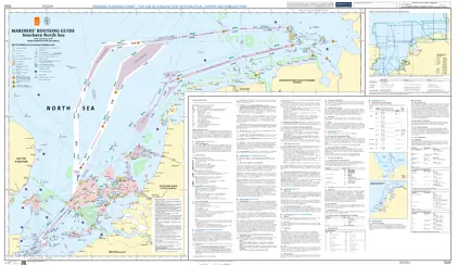
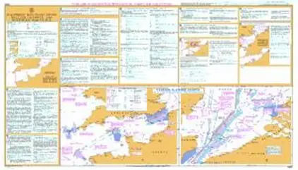
Mariners' Routeing Guide 5526 MRG Southern North Sea
Price DKK 500.30
Out of stock
Book
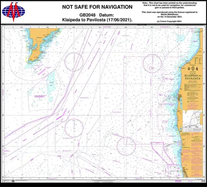
Nautical Chart 2048 Klaipeda / Pavilosta
Price DKK 525.31
Out of stock
Mariners' Routeing Guide 5527 MRG Singapore S. East
Price DKK 500.30
Out of stock
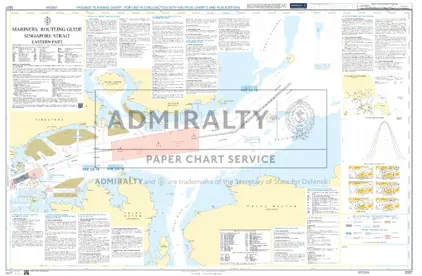
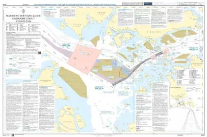
Mariners' Routeing Guide 5524 MRG Singapore Strait
Price DKK 500.30
Out of stock
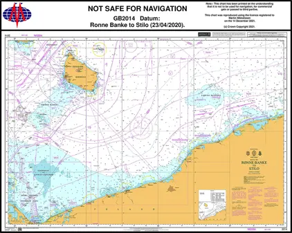
Nautical Chart 2014 Baltic Sea, Rønne Banke to Stilo
Price DKK 525.31
Out of stock
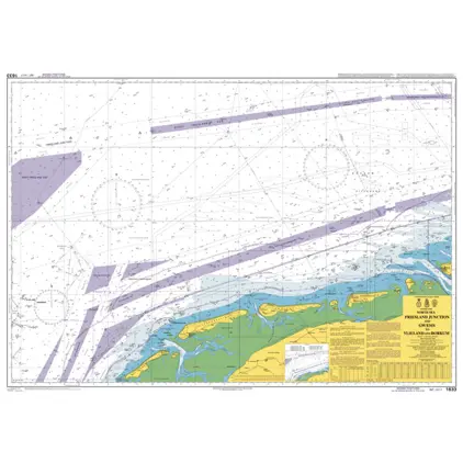
Nautical Chart 1633 Friesl. Junction & GW/EMS to Vlieland & Borkum
Price DKK 525.31
Out of stock
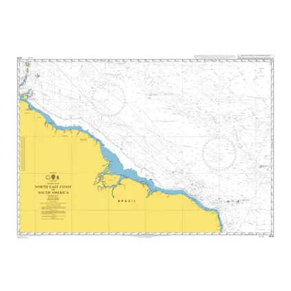
POD 4216 N.E.coast,South Ameri
Price DKK 525.31
Out of stock
Nautical Chart 2635 British Isles, Scotland
Price DKK 525.31
Out of stock
Nautical Chart 773 Strait of Gibraltar
Price DKK 525.31
Out of stock
Nautical Chart 4072 Indian Ocean, western part
Price DKK 525.31
Out of stock
Nautical Chart 2108 Kattegat - Southern part
Price DKK 525.31
Out of stock
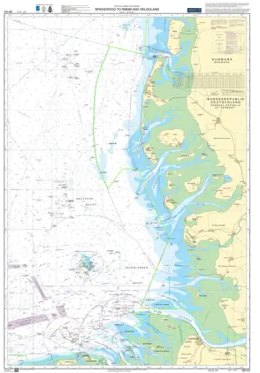
Nautical Chart DE 103 Spiekeroog to Rømø & Helgoland
Price DKK 525.31
Out of stock
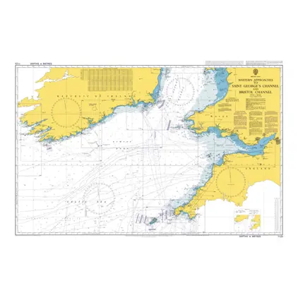
Nautical Chart 1123 Saint George's Channel and Bristol Channel.
Price DKK 525.31
Out of stock
Mariners' Routeing Guide 5500 MRG English Channel
Price DKK 500.30
Out of stock
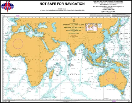
Nautical Chart 4016 Planning Chart E. A. Ocean
Price DKK 525.31
Out of stock
Previous
1
...
5
6
7
8
9
...
186
Next
View on map
Close
Close