UKHO Charts
Browse our selection of detailed sea charts from the United Kingdom Hydrographic Office.
View on map
921-940
of
3720
products
Select an option
Country not found
List is empty.
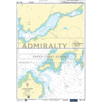
Nautical Chart 5611-26 Gunna Sound
Price DKK 500.30
Out of stock
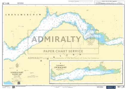
Nautical Chart 5611-25 Loch Sunart East Part
Price DKK 500.30
Out of stock
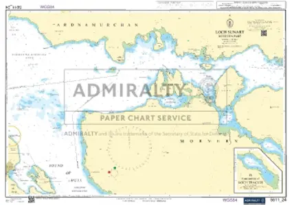
Nautical Chart 5611-24 Loch Sunart-W. Part
Price DKK 500.30
Out of stock
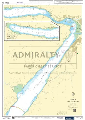
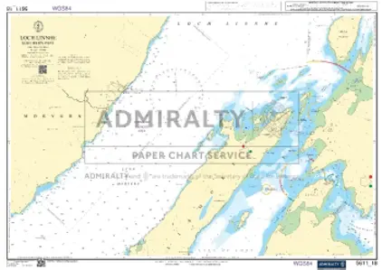
Nautical Chart 5611-23 Upper Loch Linnhe
Price DKK 500.30
Out of stock
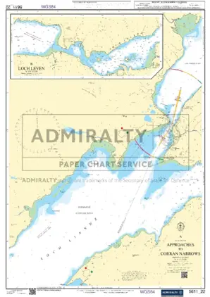
Nautical Chart 5611-22 Loch Linnhe, Corran Narrows
Price DKK 500.30
Out of stock
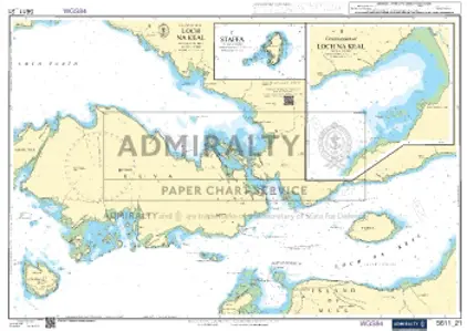
Nautical Chart 5611-21 Isl. Mull Loch Na Keal
Price DKK 500.30
Out of stock
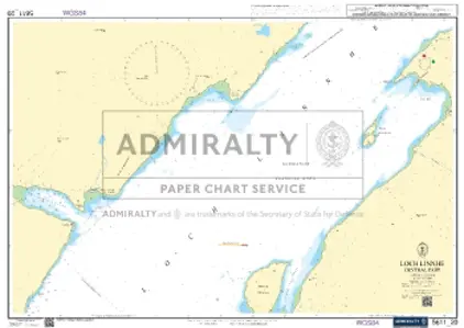
Nautical Chart 5611-20 Loch Linnhe C. Part
Price DKK 500.30
Out of stock
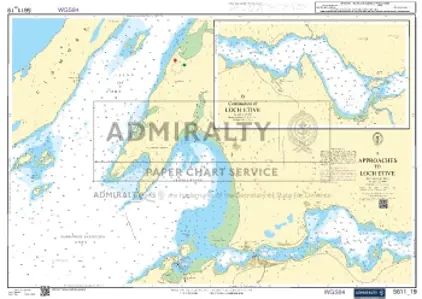
Nautical Chart 5611-19 App. to Loch Etive
Price DKK 500.30
Out of stock
Nautical Chart 5611-18 Loch Linnhe South
Price DKK 500.30
Out of stock
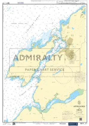
Nautical Chart 5611-17 Approaches to Oban
Price DKK 500.30
Out of stock
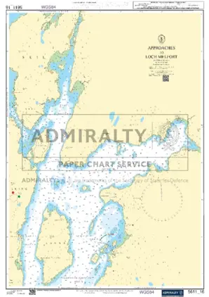
Nautical Chart 5611-16 App Loch Melfort
Price DKK 500.30
Out of stock
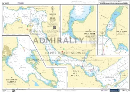
Nautical Chart 5611-15 Sound of Mull
Price DKK 500.30
Out of stock
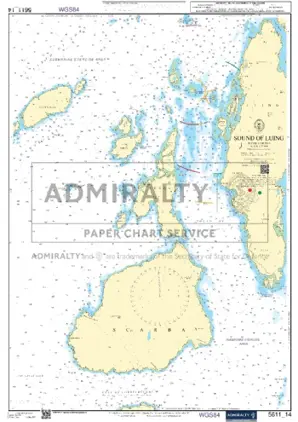
Nautical Chart 5611-14 Sound of Luing
Price DKK 500.30
Out of stock
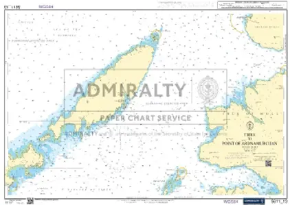
Nautical Chart 5611-13 Tiree to Point of Ardnamurchan
Price DKK 500.30
Out of stock
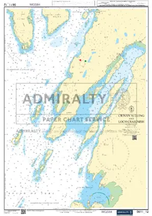
Nautical Chart 5611-12 Crinan/Luing & Loch
Price DKK 500.30
Out of stock
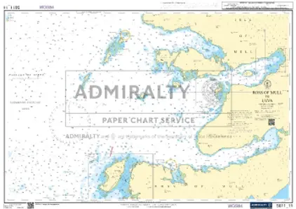
Nautical Chart 5611-11 Ross Mull to Ulva
Price DKK 500.30
Out of stock
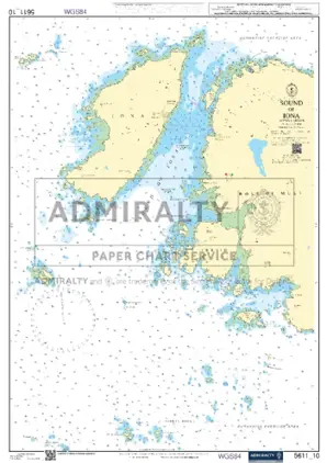
Nautical Chart 5611-10 Sound of Iona
Price DKK 500.30
Out of stock
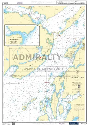
Nautical Chart 5611-9 Firth of Lorn
Price DKK 500.30
Out of stock
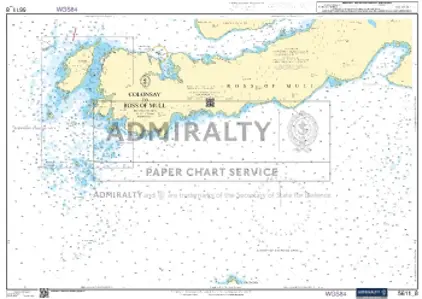
Nautical Chart 5611-8 Colonsay/Ross Mull
Price DKK 500.30
Out of stock
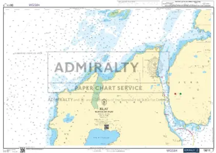
Nautical Chart 5611-7 Islay Northern Part
Price DKK 500.30
Out of stock
Previous
1
...
45
46
47
48
49
...
186
Next
View on map
Close
Close