UKHO Charts
Browse our selection of detailed sea charts from the United Kingdom Hydrographic Office.
View on map
61-80
of
3713
products
Select an option
Country not found
List is empty.
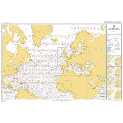
5124(5) North Atlantic Routeing Chart MAY
Price DKK 250.34
Out of stock
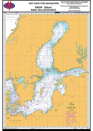
Nautical Chart 259 Baltic Sea
Price DKK 530.31
Out of stock
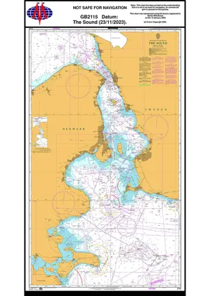
Nautical Chart 2115 The Sound
Price DKK 530.31
Out of stock
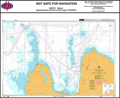
Nautical Chart 2713 Approa. Port of Ust-Luga
Price DKK 530.31
Out of stock
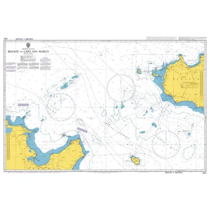
Nautical Chart 2122 Bizerte to Capo San Marco
Price DKK 530.31
Out of stock
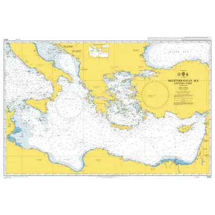
POD 4302 Mediterranean Sea-E.p
Price DKK 530.31
Out of stock
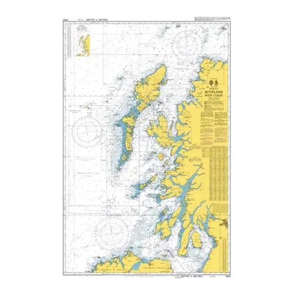
Nautical Chart 2635 British Isles, Scotland
Price DKK 530.31
Out of stock
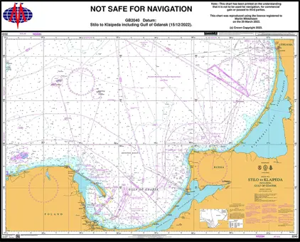
Nautical Chart 2040 Baltic Sea. Stilo to Klaipeda
Price DKK 530.31
Out of stock
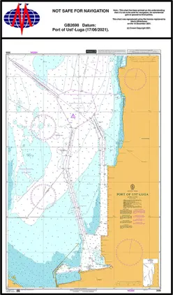
Nautical Chart 2698 Port of Ust Luga
Price DKK 530.31
Out of stock
POD 5333a Plotting Sheet, Latitude 48-60
Price DKK 213.00
Out of stock
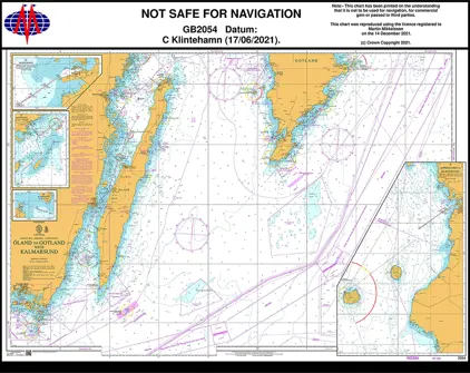
Nautical Chart 2054 Oland/Gotland, Karmarsund
Price DKK 530.31
Out of stock
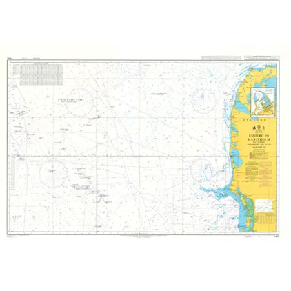
Nautical Chart 1422 Esbjerg to Hanstholm
Price DKK 530.31
Out of stock
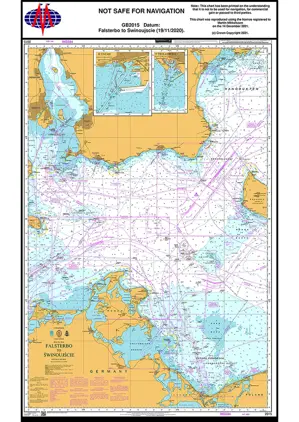
Nautical Chart 2015 Falsterbo to Swinouj'scie.
Price DKK 530.31
Out of stock
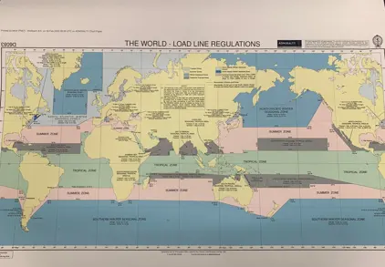
Load Line RegulationsD6083 Load Lines, Zones
Price DKK 250.34
Out of stock
Nautical Chart 4208 Ilha da Trindade-Tristan
Price DKK 530.31
Out of stock
Nautical Chart 2124 Isola di Lampedusa
Price DKK 530.31
Out of stock
Nautical Chart 177 Malta. Valetta Harbours
Price DKK 530.31
Out of stock
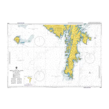
Nautical Chart 3283 Shetland Island South sheet
Price DKK 530.31
Out of stock
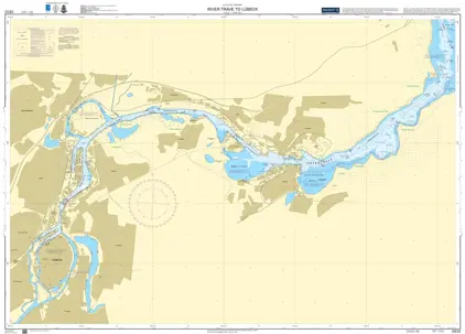
Nautical Chart DE 52 River Trave to Lübeck
Price DKK 530.31
Out of stock
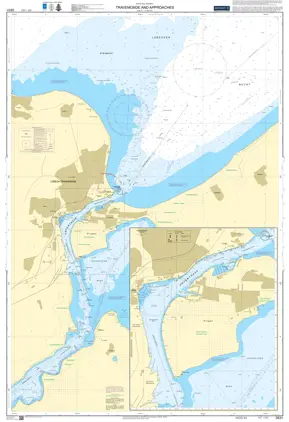
Nautical Chart DE 51 Travemünde & Ansteuerungen
Price DKK 530.31
Out of stock
Previous
1
2
3
4
5
6
...
186
Next
View on map
Close
Close