UKHO Charts
Browse our selection of detailed sea charts from the United Kingdom Hydrographic Office.
View on map
661-680
of
3720
products
Select an option
Country not found
List is empty.
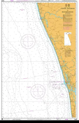
Nautical Chart IN220 Tanur Nagaram Manak
Price DKK 525.31
Out of stock
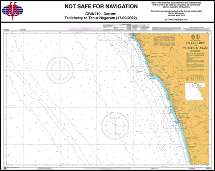
Nautical Chart IN219 Tellicherry Tanur
Price DKK 525.31
Out of stock
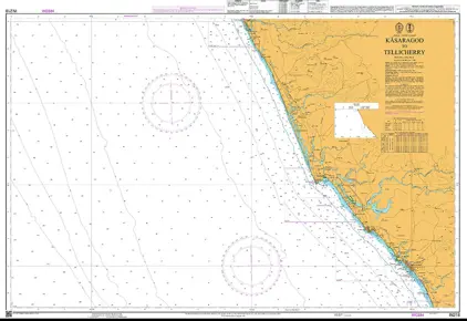
Nautical Chart IN218 Kasaragod/Tellicherry
Price DKK 525.31
Out of stock
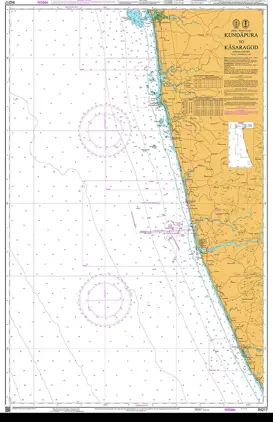
Nautical Chart IN217 Kundapura /Kasaragod
Price DKK 525.31
Out of stock
Nautical Chart IN216 Belekeri / Kundapura
Price DKK 525.31
Out of stock
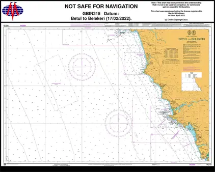
Nautical Chart IN215 Betul to Belekeri
Price DKK 525.31
Out of stock
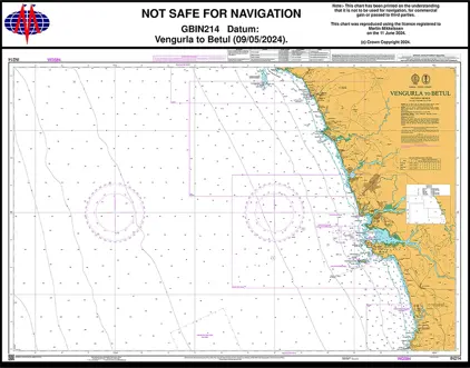
Nautical Chart IN214 Vengurla to Betul
Price DKK 525.31
Out of stock
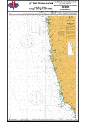
Nautical Chart IN213 Ratnagiri to Vengurla
Price DKK 525.31
Out of stock
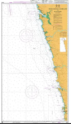
Nautical Chart IN212 Murud-Janjira Hr /Ratnagiri
Price DKK 525.31
Out of stock
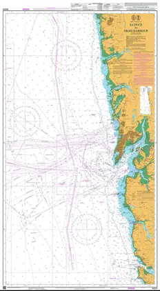
Nautical Chart IN211 Satpati t Dighi Harbour
Price DKK 525.31
Out of stock
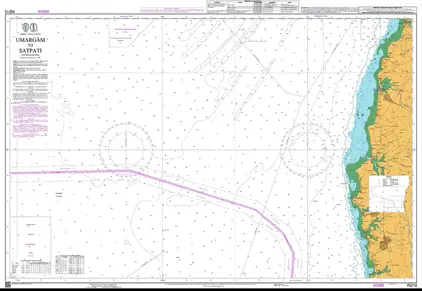
Nautical Chart IN210 Umargam to Satpati
Price DKK 525.31
Out of stock
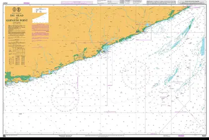
Nautical Chart IN207 Diu Head to Gopnath
Price DKK 525.31
Out of stock
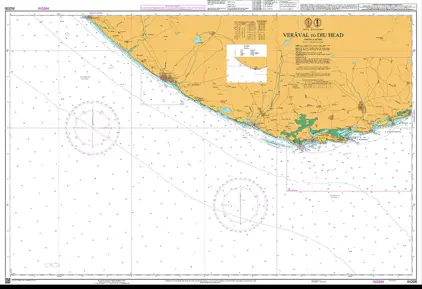
Nautical Chart IN206 Veräval to Diu Head
Price DKK 525.31
Out of stock
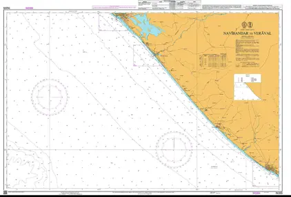
Nautical Chart IN205 Navibandar to Veraval
Price DKK 525.31
Out of stock
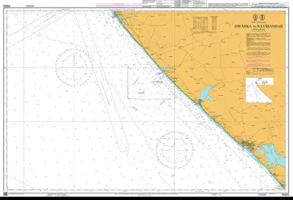
Nautical Chart IN204 Dwarka / Navibandar
Price DKK 525.31
Out of stock
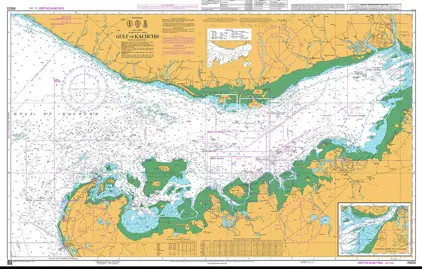
Nautical Chart IN203 Gulf of Kachchh
Price DKK 525.31
Out of stock
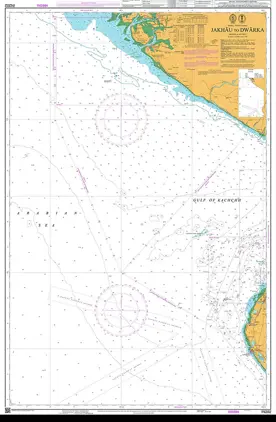
Nautical Chart IN202 Jakhau to Dwarka
Price DKK 525.31
Out of stock
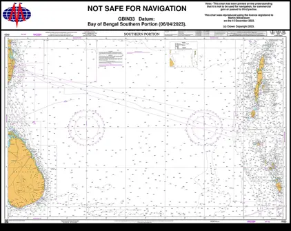
Nautical Chart IN33 Bay of Bengal, South Part
Price DKK 525.31
Out of stock
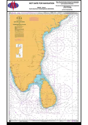
Nautical Chart IN32 Kochi /Vishakhapatnam
Price DKK 525.31
Out of stock
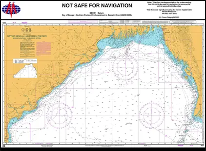
Nautical Chart IN31 Bay of Bengal North
Price DKK 525.31
Out of stock
Previous
1
...
32
33
34
35
36
...
186
Next
View on map
Close
Close