UKHO Charts
Browse our selection of detailed sea charts from the United Kingdom Hydrographic Office.
View on map
3601-3620
of
3765
products
Select an option
Country not found
List is empty.
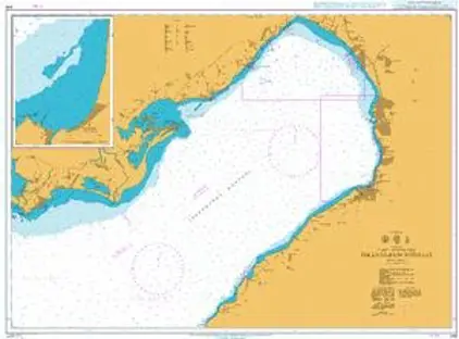
Nautical Chart 246 Iskenderun Körfezi
Price DKK 525.31
Out of stock
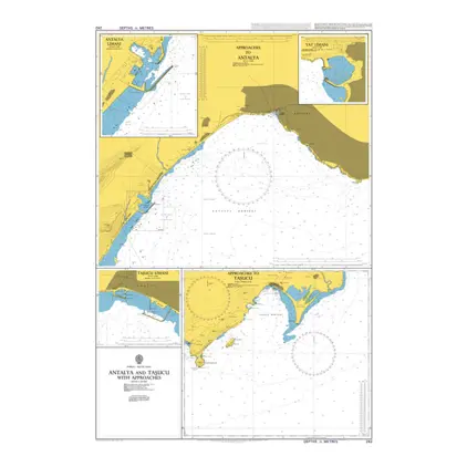
Nautical Chart 242 Antalya and Tasucu app
Price DKK 525.31
Out of stock
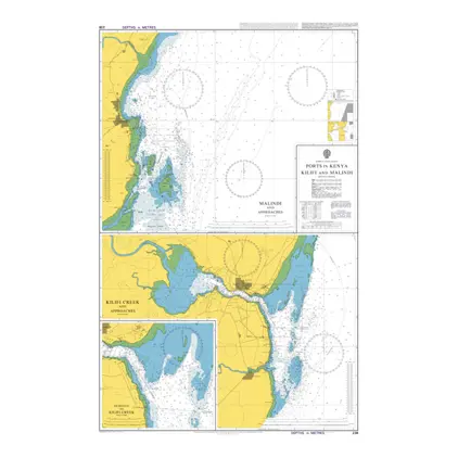
Nautical Chart 238 Kilifi and Malindi
Price DKK 525.31
Out of stock
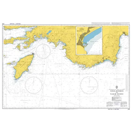
Nautical Chart 236 Nisos Rodhos to Taslik Burnu.
Price DKK 525.31
Out of stock
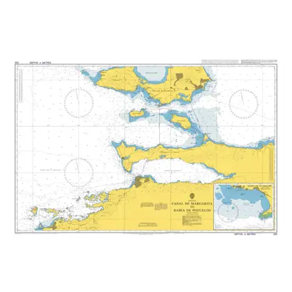
Nautical Chart 230 Canal de Margarita to Bahia de Pozuelos
Price DKK 525.31
Out of stock
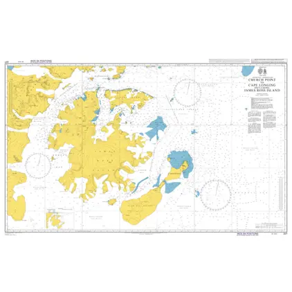
Nautical Chart 227 Church Pt. to Cape Longing incl. James Ross Isl.
Price DKK 525.31
Out of stock
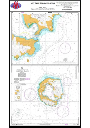
Nautical Chart 226 Antarctica - South Shetland Islands, Deception Island.
Price DKK 525.31
Out of stock
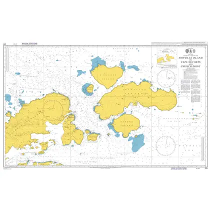
Nautical Chart 225 Cape Ducorps & Church
Price DKK 525.31
Out of stock
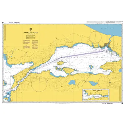
Nautical Chart 224 Marmara Denizi
Price DKK 525.31
Out of stock
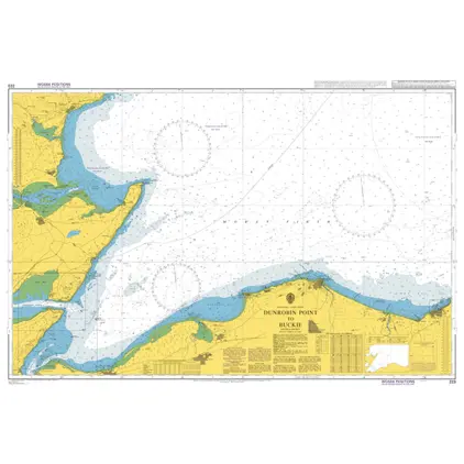
Nautical Chart 223 Dunrobin Point to Buck
Price DKK 525.31
Out of stock
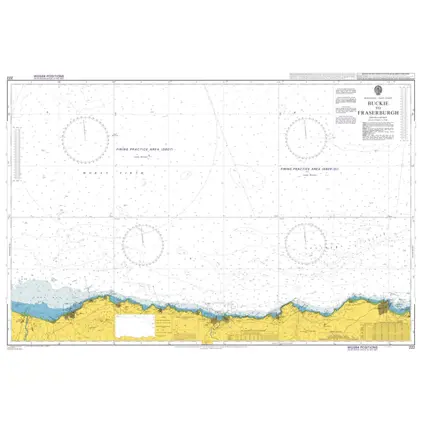
Nautical Chart 222 Buckie to Fraserburgh
Price DKK 525.31
Out of stock
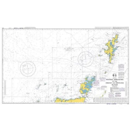
Nautical Chart 219 Western Approaches to Orkney and Shetland Island.
Price DKK 525.31
Out of stock
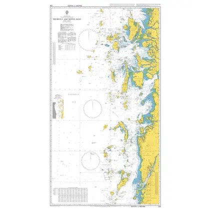
Nautical Chart 216 Mergui Archipelago
Price DKK 525.31
Out of stock
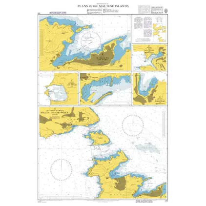
Nautical Chart 211 Maltese Islands: plans
Price DKK 525.31
Out of stock
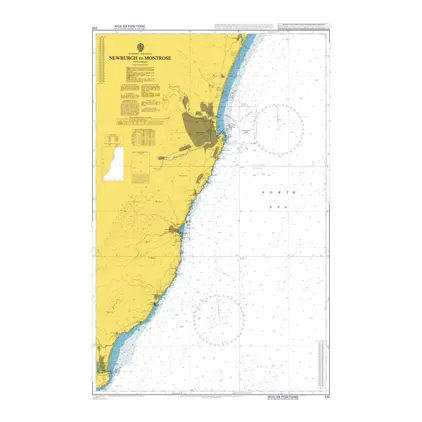
Nautical Chart 210 Newburgh to Montrose
Price DKK 525.31
Out of stock
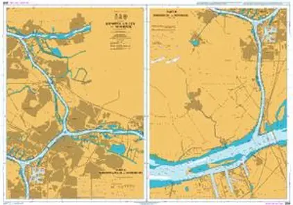
Nautical Chart 209 Krimpen a/d Lek Moerdi
Price DKK 525.31
Out of stock
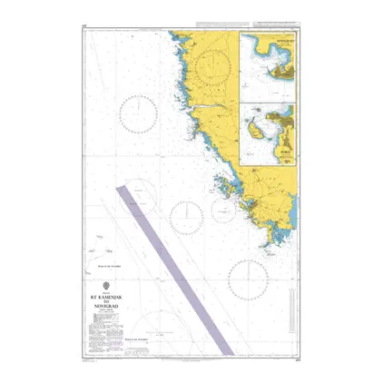
Nautical Chart 201 Rt. Kamenjak Novigrad
Price DKK 525.31
Out of stock
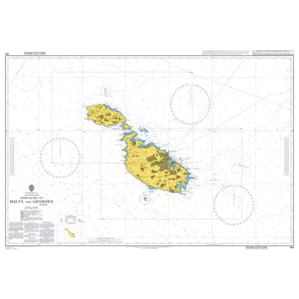
Nautical Chart 194 App.to Malta and Gozo
Price DKK 525.31
Out of stock
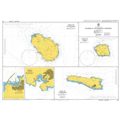
Nautical Chart 193 Porto Di Pantelleria
Price DKK 525.31
Out of stock
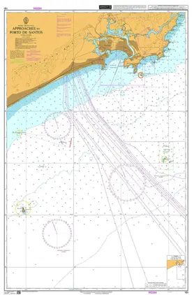
Nautical Chart 191 App Porto de Santos
Price DKK 525.31
Out of stock
Previous
1
...
179
180
181
182
183
...
189
Next
View on map
Close
Close