UKHO Charts
Browse our selection of detailed sea charts from the United Kingdom Hydrographic Office.
View on map
2981-3000
of
3765
products
Select an option
Country not found
List is empty.
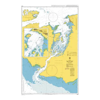
Nautical Chart 1420 Selat Sele
Price DKK 525.31
Out of stock
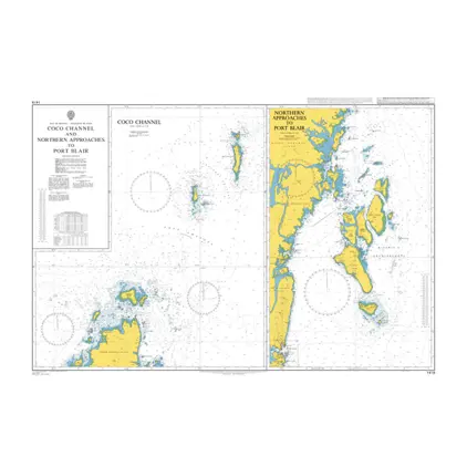
Nautical Chart 1419 Coco Channel
Price DKK 525.31
Out of stock
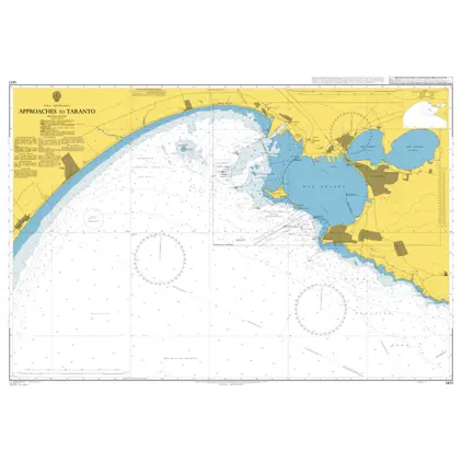
Nautical Chart 1417 Approaches to Taranto
Price DKK 525.31
Out of stock
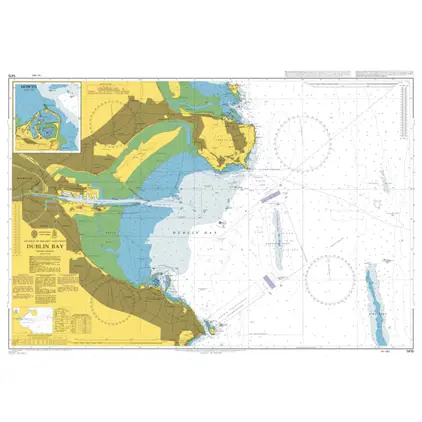
Nautical Chart 1415 Dublin Bay
Price DKK 525.31
Out of stock
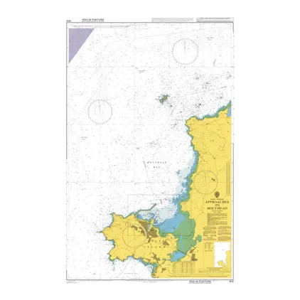
Nautical Chart 1413 Approaches to Holyhead
Price DKK 525.31
Out of stock
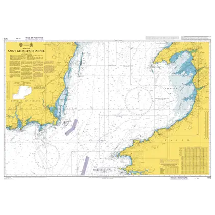
Nautical Chart 1410 St. Georges Channel
Price DKK 525.31
Out of stock
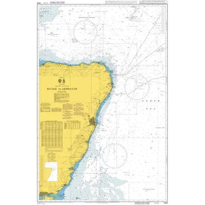
Nautical Chart 1409 Buckie to Arbroath
Price DKK 525.31
Out of stock
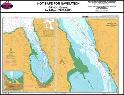
Nautical Chart 1404 Loch Ryan
Price DKK 525.31
Out of stock
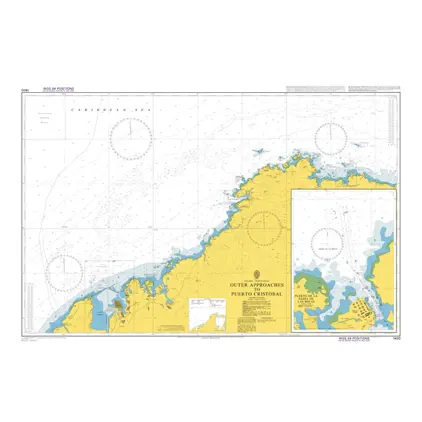
Nautical Chart 1400 Puerto Cristobal: Out
Price DKK 525.31
Out of stock
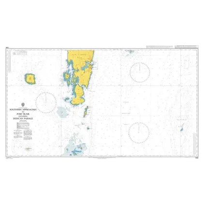
Nautical Chart 1398 Andaman Isl.: Port Blair
Price DKK 525.31
Out of stock
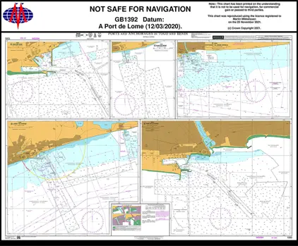
Nautical Chart 1392 Ports and Anchorages in Togo and Benin
Price DKK 525.31
Out of stock
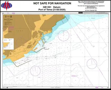
Nautical Chart 1391 Port of Tema.
Price DKK 525.31
Out of stock
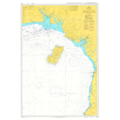
Nautical Chart 1387 Calabar to Bata
Price DKK 525.31
Out of stock
Nautical Chart 1386 Pennington R.- Opobo River
Price DKK 525.31
Out of stock
Nautical Chart 1385 Cotonou-Pennington Ri
Price DKK 525.31
Out of stock
Nautical Chart 1384 Tema to Cotonou
Price DKK 525.31
Out of stock
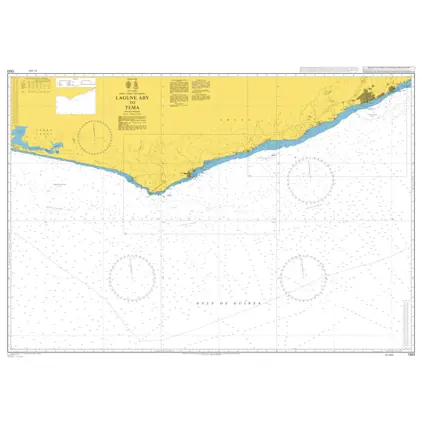
Nautical Chart 1383 Lagune Aby to Tema
Price DKK 525.31
Out of stock
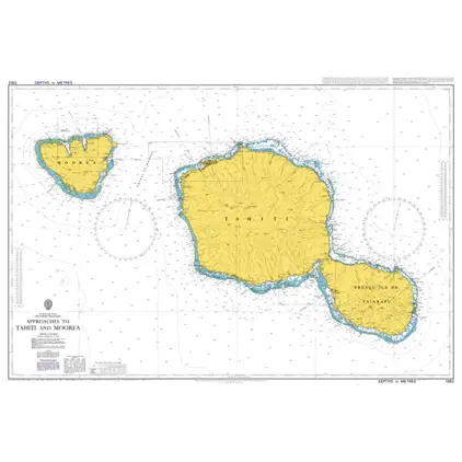
Nautical Chart 1382 Tahiti and Moorea app
Out of stock
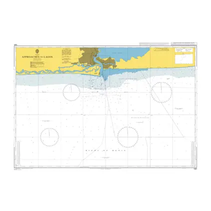
Nautical Chart 1381 Approaches to Lagos
Price DKK 525.31
Out of stock
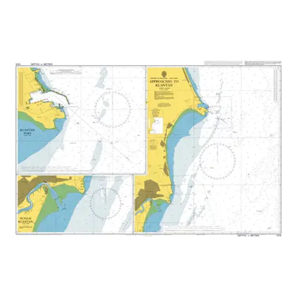
Nautical Chart 1379 Approaches to Kuantan
Price DKK 525.31
Out of stock
Previous
1
...
148
149
150
151
152
...
189
Next
View on map
Close
Close