UKHO Charts
Browse our selection of detailed sea charts from the United Kingdom Hydrographic Office.
View on map
2421-2440
of
3765
products
Select an option
Country not found
List is empty.
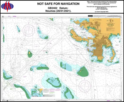
Nautical Chart 2462 Noumea
Price DKK 525.31
Out of stock
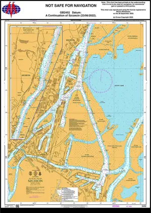
Nautical Chart 2452 Baltic Sea, Szczecin
Price DKK 525.31
Out of stock
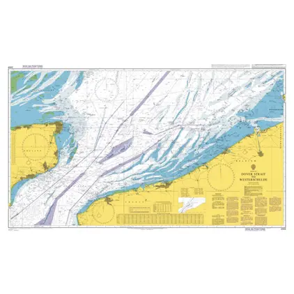
Nautical Chart 2449 Dover Strait to Westerschelde
Price DKK 525.31
Out of stock
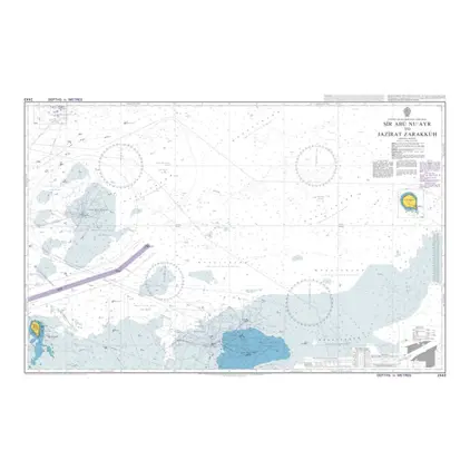
Nautical Chart 2443 Sir Abu Nu'Ayr to Jazirat Zarakkuh
Price DKK 525.31
Out of stock
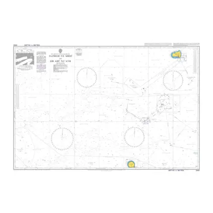
Nautical Chart 2442 Jazireh-Ye Sirri
Price DKK 525.31
Out of stock
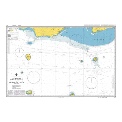
Nautical Chart 2441 Jazireh-Ye,Tonb-E, Bozprg
Price DKK 525.31
Out of stock
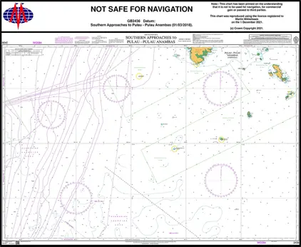
Nautical Chart 2436 S. China - App. Palau Anambas
Price DKK 525.31
Out of stock
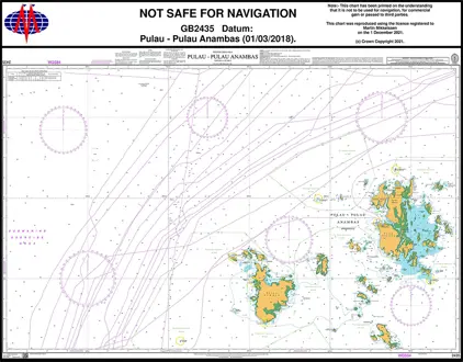
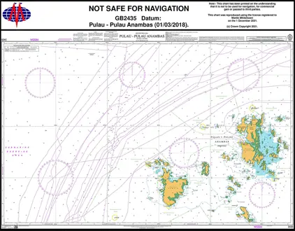
Nautical Chart 2435 China - Palau Anambas
Price DKK 525.31
Out of stock
Nautical Chart 2434 Bahia de Cartagena
Price DKK 525.31
Out of stock
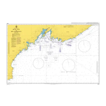
Nautical Chart 2432 Musu Dan-/ Mys Nizmennyy
Price DKK 525.31
Out of stock
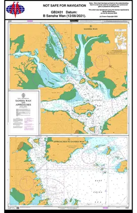
Nautcal Chart 2431 China-Sansha Wan/App
Price DKK 525.31
Out of stock
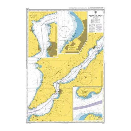
Nautical Chart 2429 Canakkale Bogazi
Price DKK 525.31
Out of stock
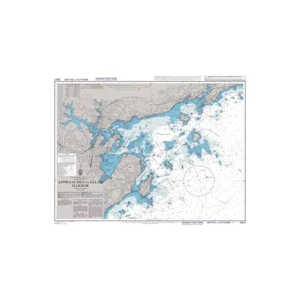
Nautical Chart 2427 App. to Salem Harbour
Price DKK 525.31
Out of stock
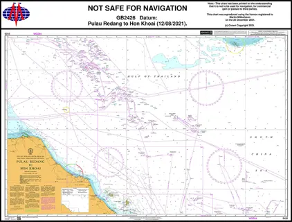
Nautical Chart 2426 Pulau Redang-Hon Khoal
Price DKK 525.31
Out of stock
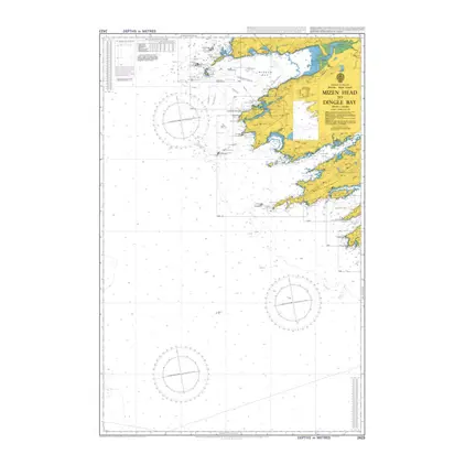
Nautical Chart 2423 Mizen Head to Dingle
Price DKK 525.31
Out of stock
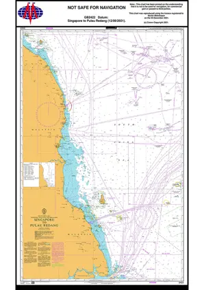
Nautical Chart 2422 Singapore / Pulau Redang
Price DKK 525.31
Out of stock
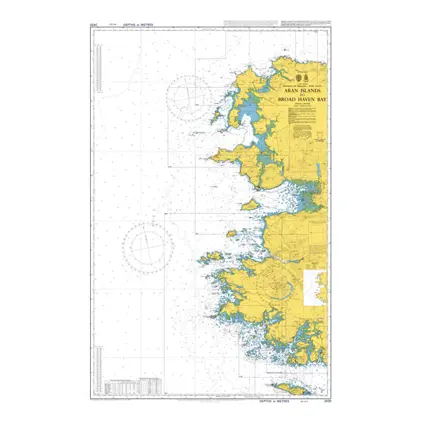
Nautical Chart 2420 Aran Island - Broad Haven
Price DKK 525.31
Out of stock
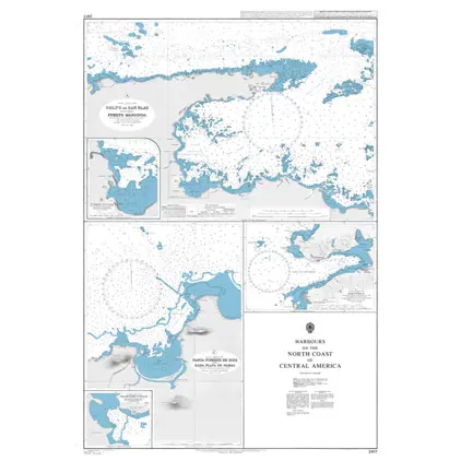
Nautical Chart 2417 Hbr.of Central America
Price DKK 525.31
Out of stock
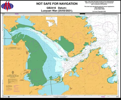
Nautical Chart 2416 Luoyuan Wan.
Price DKK 525.31
Out of stock
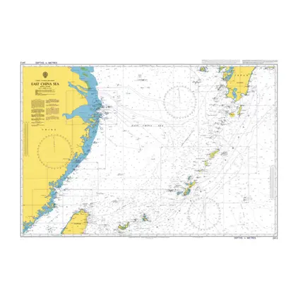
Nautical Chart 2412 East China Sea
Price DKK 525.31
Out of stock
Previous
1
...
120
121
122
123
124
...
189
Next
View on map
Close
Close