UKHO Charts
Browse our selection of detailed sea charts from the United Kingdom Hydrographic Office.
View on map
2361-2380
of
3765
products
Select an option
Country not found
List is empty.
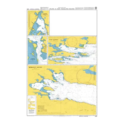
Nautical Chart 2550 Falkland Isl. East Plans
Price DKK 525.31
Out of stock
Nautical Chart 2547 Port Salvador/P. William
Price DKK 525.31
Out of stock
Nautical Chart 2546 App. to Port Salvador
Price DKK 525.31
Out of stock
Nautical Chart 2545 Port Egmont/Port Purvis
Price DKK 525.31
Out of stock
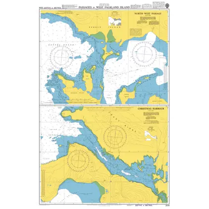
Nautical Chart 2544 Passages West Falkland Island
Price DKK 525.31
Out of stock
Nautical Chart 2543 Anch. in West Falkland
Price DKK 525.31
Out of stock
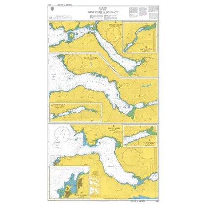
Nautical Chart 2541 Lochs on the West Coast of Scotland
Price DKK 525.31
Out of stock
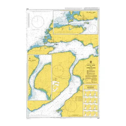
Nautical Chart 2540 Loch Alsh & Approach.
Price DKK 525.31
Out of stock
Nautical Chart 2536 Port William to Choiseul
Price DKK 525.31
Out of stock
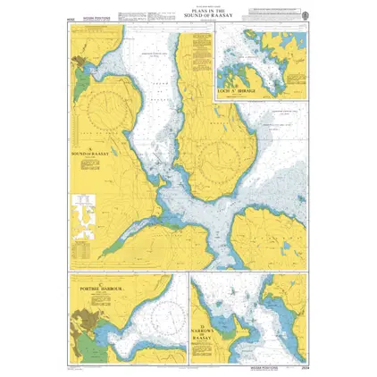
Nautical Chart 2534 Scotland: Plans, W. Coast
Price DKK 525.31
Out of stock
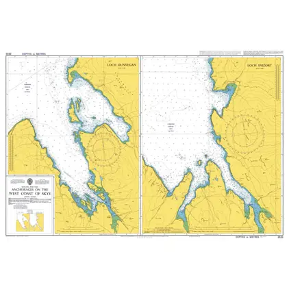
Nautical Chart 2533 Skye: Anch on west Coast
Price DKK 525.31
Out of stock
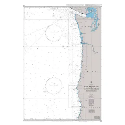
Nautical Chart 2531 Cape Mendocino
Price DKK 525.31
Out of stock
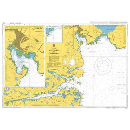
Nautical Chart 2529 Approaches to Stornoway
Price DKK 525.31
Out of stock
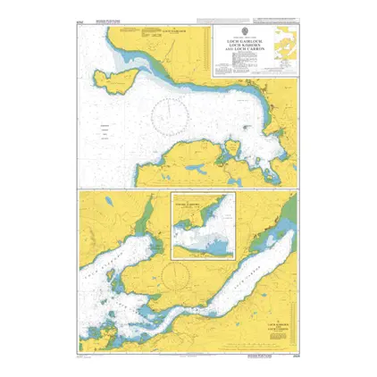
Nautical Chart 2528 Loch Gairloch & Kishorn
Price DKK 525.31
Out of stock
Nautical Chart 2527 Falkland Islands, Port Alhemaric.
Price DKK 525.31
Out of stock
Nautical Chart 2526 Byron Sound to Jason Islands
Price DKK 525.31
Out of stock
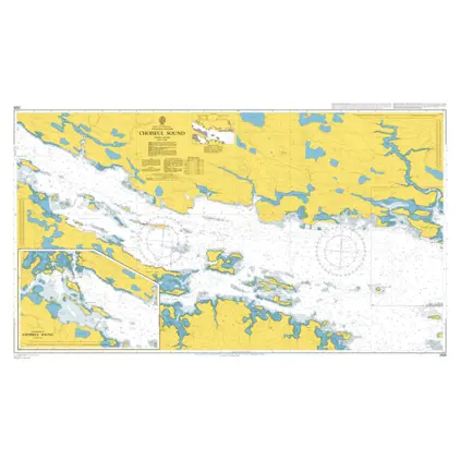
Nautical Chart 2525 Falkland Islands, Choiseul Sound
Price DKK 525.31
Out of stock
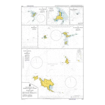
Nautical Chart 2524 Islands off Scotland
Price DKK 525.31
Out of stock
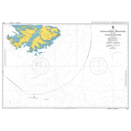
Nautical Chart 2520 Falkland Island South-East App.
Price DKK 525.31
Out of stock
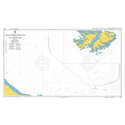
Nautical Chart 2519 Falkland Island - South-West appr.
Price DKK 525.31
Out of stock
Previous
1
...
117
118
119
120
121
...
189
Next
View on map
Close
Close