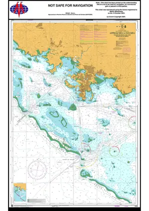
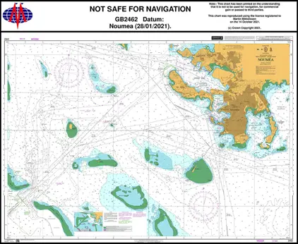
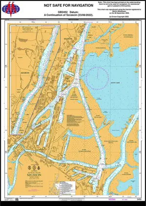
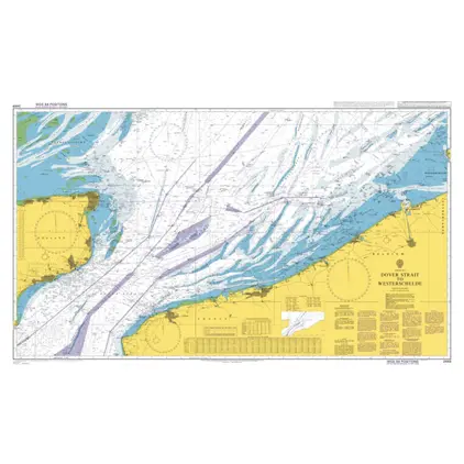
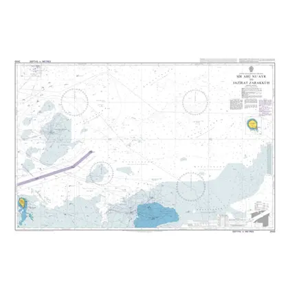
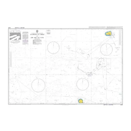
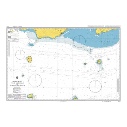
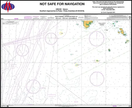
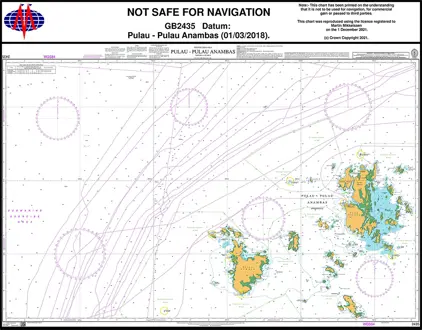
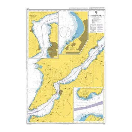
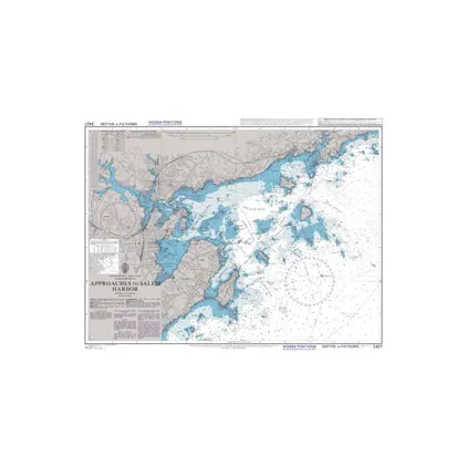
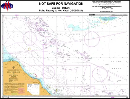
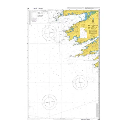
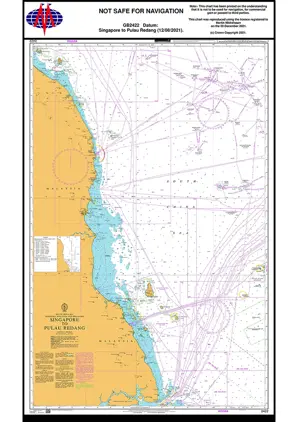
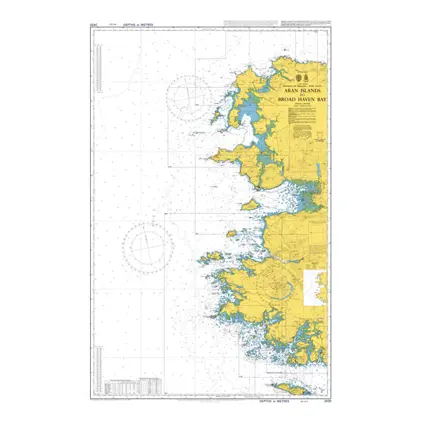
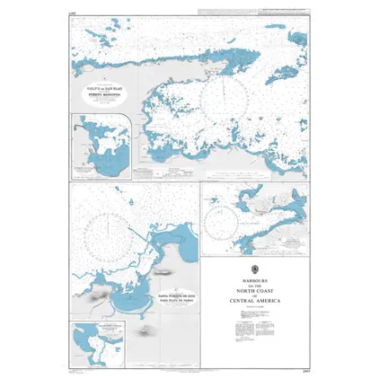
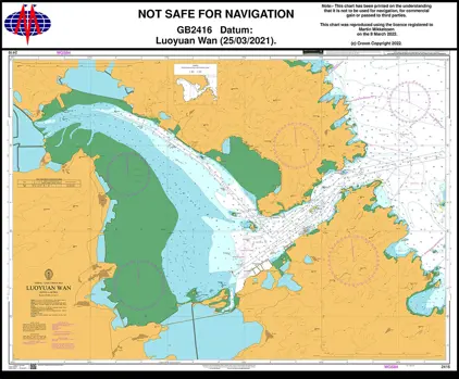
ADMIRALTY Charts

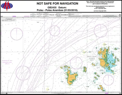
ADMIRALTY Charts are nautical charts published by the United Kingdom Hydrographic Office (UKHO), with global chart coverage.
Weilbach is an official International Admiralty Chart Agent (IACA).

View on map
1901-1920 of 3342 products
Select an option
  1. Nautical Char 2494 Plans N. Coast of Ireland

    DKK 477.35
    Out of stock
  2. Nautical Chart 2492 Bay of Fundy to Block

    DKK 477.35
    Out of stock
  3. Nautical Chart 2491 Ardrossan to Largs

    DKK 477.35
    Out of stock
  4. Nautical Chart 2490 Monhegan Island

    DKK 477.35
    Out of stock
  5. Nautical Chart 2489 Nantucket Sound-eastern

    DKK 477.35
    Out of stock
  6. Nautical Chart 2488 Portland Harbor

    DKK 477.35
    Out of stock
  7. Nautical Chart 2486 Penobscot Bay and app

    DKK 477.35
    Out of stock
  8. Nautical Chart 2485 Approaches to Barbados

    DKK 477.35
    Out of stock
  9. Nautical Chart 2483 Ports in Gulf of Maine

    DKK 477.35
    Out of stock
  10. Nautical Chart 2482 River Medway & The Swale

    DKK 477.35
    Out of stock
  11. Nautical Chart 2481 Sound of Islay

    DKK 477.35
    Out of stock
  12. Nautical Chart 2480 Inner Sound, central part

    DKK 477.35
    Out of stock
  13. Nautical Chart 2479 Inner Sound, north. part

    DKK 477.35
    Out of stock
  14. Nautical Chart 2478 Approaches to Monrovia

    DKK 477.35
    Out of stock
  15. Nautical Chart 2476 Lochs & Har Sound Jura

    DKK 477.35
    Out of stock
  16. Nautical Chart 2475 Passages of Scotland

    DKK 477.35
    Out of stock
  17. Nautical Chart 2474 Hbr.in Inner Hebrides

    DKK 477.35
    Out of stock
  18. Nautical Chart 2465 Ile Ouen to Ile des

    DKK 477.35
    Out of stock
  19. Nautical Chart 2464 South Pacific Ocean

    DKK 477.35
    Out of stock
  20. Nautical Chart 2463 Approaches to Noumea

    DKK 477.35
    Out of stock
View on map
Close