ADMIRALTY Charts

ADMIRALTY Charts are nautical charts published by the United Kingdom Hydrographic Office (UKHO), with global chart coverage.
Weilbach is an official International Admiralty Chart Agent (IACA).
View on map
21-40 of 3189 products
Select an option
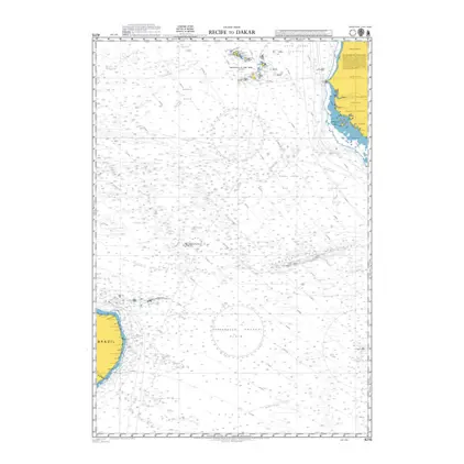
  1. POD 4215 Recife to Dakar

    Price DKK 542.23
    Out of stock
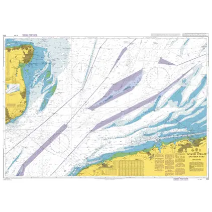
  2. Nautical Chart 323 Dover Strait Eastern Part.

    Price DKK 542.23
    Out of stock
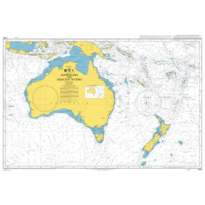
  3. Nautical Chart 4060 Australasia & adj. waters

    Price DKK 542.23
    Out of stock
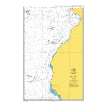
  4. Nautical Chart 4104 Lisboa to Freetown

    Price DKK 542.23
    Out of stock
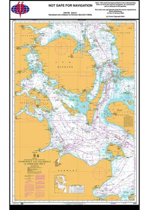
  5. Nautical Chart 2106 Storebælt and Lillebælt

    Price DKK 542.23
    Out of stock
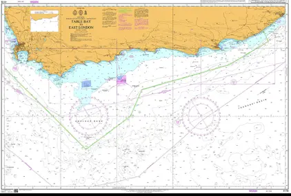
  6. POD 4178 Table Bay to East Lon

    Price DKK 542.23
    Out of stock
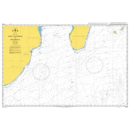
  7. POD 4700 P. Elizabeth-Mauritiu

    Price DKK 542.23
    Out of stock
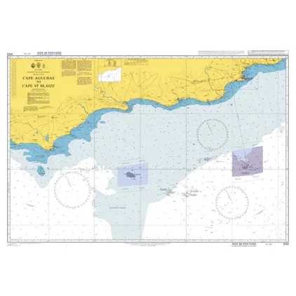
  8. POD 4153 Cape Agulhas/C.St.Bla

    Price DKK 542.23
    Out of stock
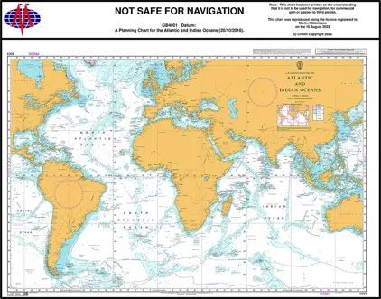
  9. Nautical Chart 4001 Atl. & Ind. Ocean, Planning Chart

    Price DKK 542.23
    Out of stock
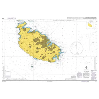
  10. Nautical Chart 2538 Malta

    Price DKK 542.23
    Out of stock
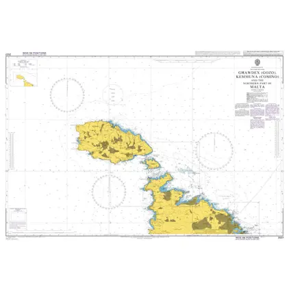
  11. Nautical Chart 2537 Gozo, Comino and Northern part of Malta

    Price DKK 542.23
    Out of stock
  12. Nautical Chart 4002 Pac. Ocean, Planning Chart

    Price DKK 542.23
    Out of stock
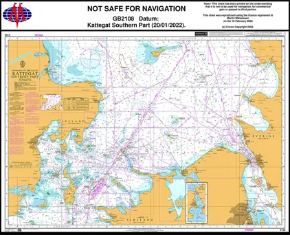
  13. Nautical Chart 2108 Kattegat - Southern part

    Price DKK 542.23
    Out of stock
  14. Nautical Chart 166 Alger to Genova & Tunis

    Price DKK 542.23
    Out of stock
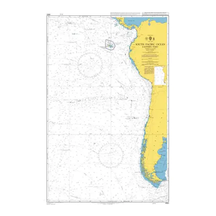
  15. Nautical Chart 4062 S. Pacific Ocean East part

    Price DKK 542.23
    Out of stock
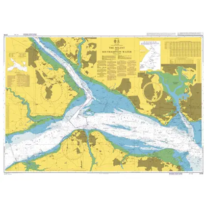
  16. Nautical Chart 2036 The Solent & Southamp

    Price DKK 542.23
    Out of stock
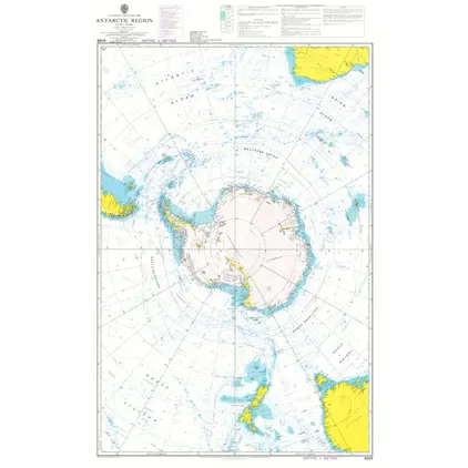
  17. Nautical Chart 4009 Antarctic Region Planning Chart

    Price DKK 542.23
    Out of stock
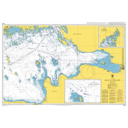
  18. Nautical Chart 2264 Gulf of Finland, Eastern Part

    Price DKK 542.23
    Out of stock
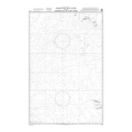
  19. Nautical Chart 4115 Arquip. Acores-Cabo Ve

    Price DKK 542.23
    Out of stock
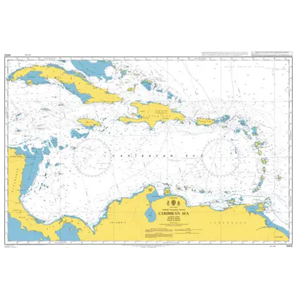
  20. POD 4402 Caribbean Sea

    Price DKK 542.23
    Out of stock
View on map
Close