Pacific
The full range of ADMIRALTY nautical sea charts for the Pacific Sea.
View on map
21-40
of
129
products
Select an option
Country not found
List is empty.
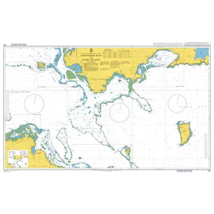
Nautical Chart 750 Charybdis Reef to Koro Island
Price DKK 525.31
Out of stock
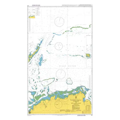
Nautical Chart 748 Yalewa Kalou Passage to Viti Levu Bay
Price DKK 525.31
Out of stock
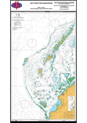
Nautical Chart 747 Navula Pass to Yasawa
Price DKK 525.31
Out of stock
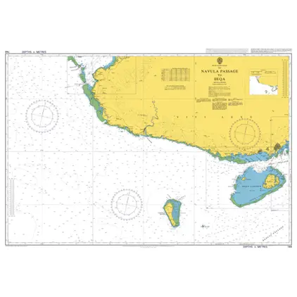
Nautical Chart 746 Navula Passage to Beqa
Price DKK 525.31
Out of stock
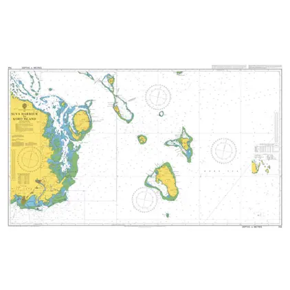
Nautical Chart 744 Suva Harbour to Koro Island
Price DKK 525.31
Out of stock
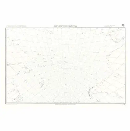
5098 South Pacific and Southern Oceans.
Price DKK 211.00
Out of stock
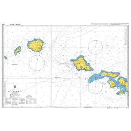
Nautical Chart 1308 Maui to Niihau
Price DKK 525.31
Out of stock
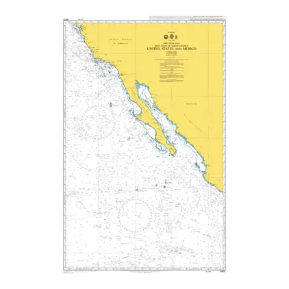
POD 4802 United States and Mex
Price DKK 525.31
Out of stock
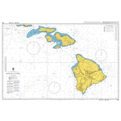
Nautical Chart 1309 Hawaii to Oahu
Price DKK 525.31
Out of stock
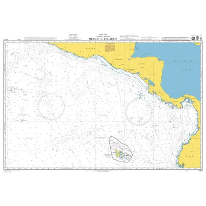
POD 4811 Mexico to Ecuador
Price DKK 525.31
Out of stock
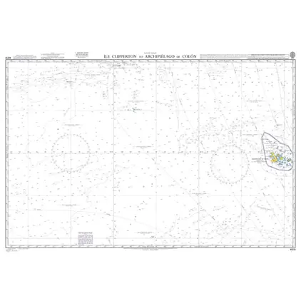
Nautical Chart 4618 Ile Clipperton
Price DKK 525.31
Out of stock
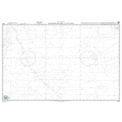
Nautical Chart 4613 Chatham Isl.to Ile Rapa
Price DKK 525.31
Out of stock
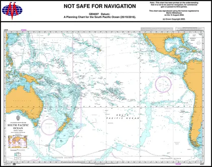
Nautical Chart 4007 South Pac. Ocean, Planning Chart
Price DKK 525.31
Out of stock
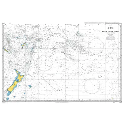
Nautical Chart 4061 S. Pac. Ocean, Western portion
Price DKK 525.31
Out of stock
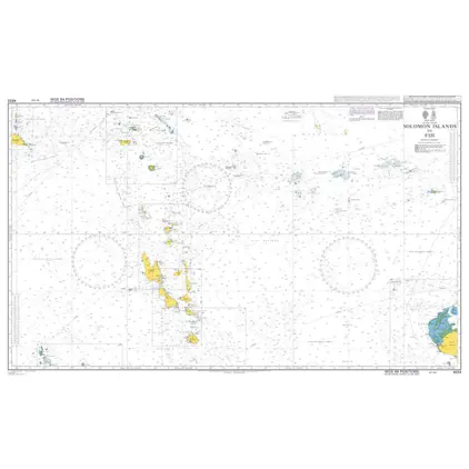
Nautical Chart 4633 Solomon Islands to Fiji
Price DKK 525.31
Out of stock
POD 5399 Magnetic Var.2010,S.P
Price DKK 211.00
Out of stock
POD 5377 Magnetic Var.2010,N.P
Price DKK 211.00
Out of stock
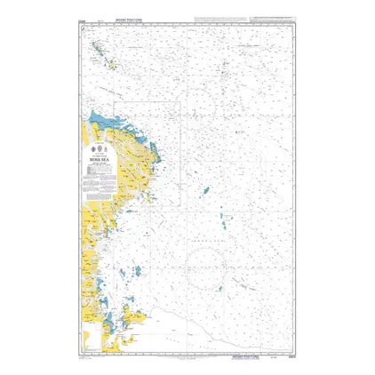
POD 4900 Ross Sea
Price DKK 525.31
Out of stock
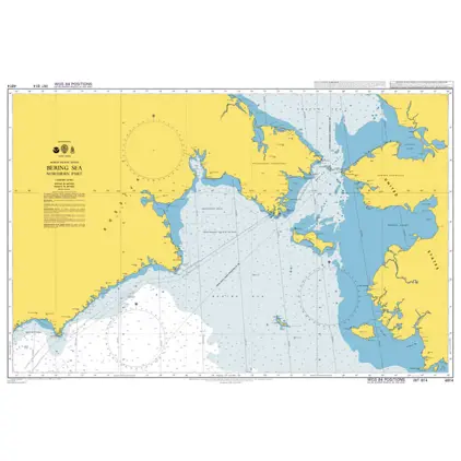
POD 4814 Bering Sea,northern p
Price DKK 525.31
Out of stock
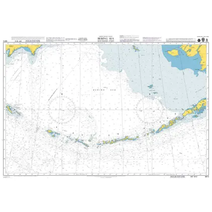
POD 4813 Bering Sea,southern p
Price DKK 525.31
Out of stock
Previous
1
2
3
4
...
7
Next
View on map
Close
Close