North Sea E
The full range of ADMIRALTY nautical sea charts for the Eastern North Sea.
View on map
41-57
of
57
products
Select an option
Country not found
List is empty.
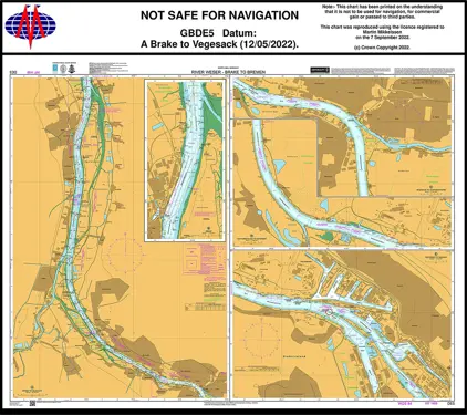
Nautical Chart DE 5 Brake Bremen
Price DKK 525.31
Out of stock
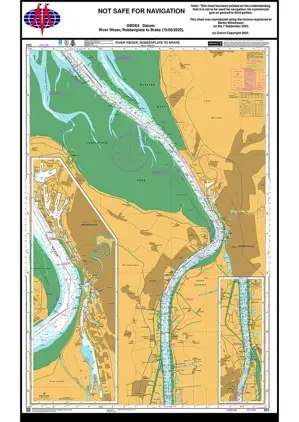
Nautical Chart DE 4 Robbenplate to Reiherplate
Price DKK 525.31
Out of stock
Nautical Chart BE 106 Baalhock to Wintam
Price DKK 525.31
Out of stock
Book
Nautical Chart BE 102 Dunkerque/Oostende
Price DKK 525.31
Out of stock
Book
Nautical Chart BE 101 Oostende/Westkapell
Price DKK 525.31
Out of stock
Book
Nautical Chart BE 11 Gravelines/Oostkapel
Price DKK 525.31
Out of stock
Book
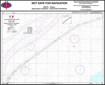
Nautical Chart 3761 App. to Bahrain - C.Par
Price DKK 525.31
Out of stock
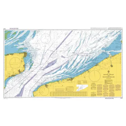
Nautical Chart 2449 Dover Strait to Westerschelde
Price DKK 525.31
Out of stock
Nautical Chart 1630 West Hinder and Gabbard
Price DKK 525.31
Out of stock
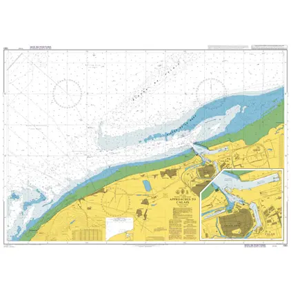
Nautical Chart 1351 App.to Calais & Calais
Price DKK 525.31
Out of stock
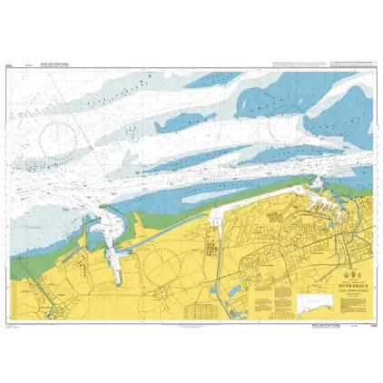
Nautical Chart 1350 Dunkerque and approaches
Price DKK 525.31
Out of stock
Nautical Chart 209 Krimpen a/d Lek Moerdi
Price DKK 525.31
Out of stock
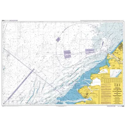
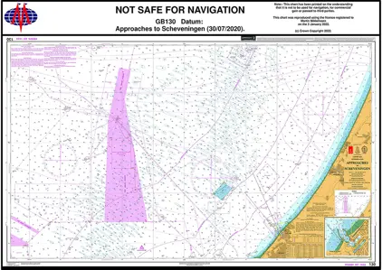
Nautical Chart 130 Appr to Scheveningen
Price DKK 525.31
Out of stock
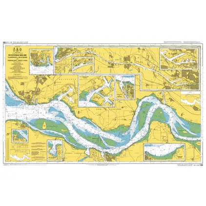
Nautical Chart 120 Vlissingen-Oost to Nauw van Bath
Price DKK 525.31
Out of stock
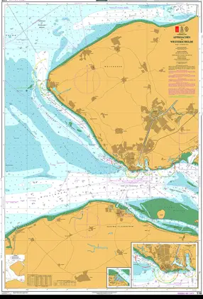
Nautical Chart 116 App. to Westerschelde
Price DKK 525.31
Out of stock
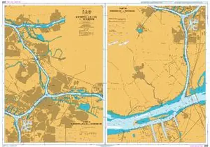
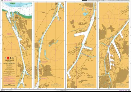
Nautical Chart 114 Canal Gent-Terneuzen
Price DKK 525.31
Out of stock
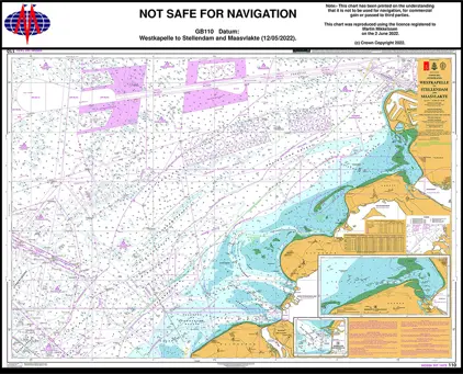
Nautical Chart 110 Westkapelle to Stellendam
Price DKK 525.31
Out of stock
Previous
1
2
3
Next
View on map
Close
Close