China Sea
The full range of ADMIRALTY nautical sea charts for The China Sea.
View on map
121-140
of
223
products
Select an option
Country not found
List is empty.
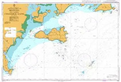
Nautical Chart 1792 Approaches to Shantou including Chaozhou Gang
Price DKK 525.31
Out of stock
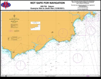
Nautical Chart 1784 China-Guang'ao Wan to Jieshi Wan.
Price DKK 525.31
Out of stock
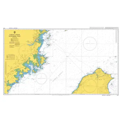
Nautical Chart 1761 Taiwan Strait-north part
Price DKK 525.31
Out of stock
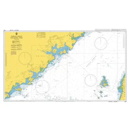
Nautical Chart 1760 Taiwan Strait-south part
Price DKK 525.31
Out of stock
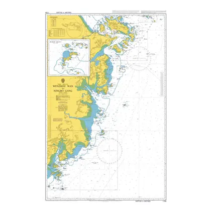
Nautical Chart 1759 Wenzhou wan/Ningbo Gang
Price DKK 525.31
Out of stock
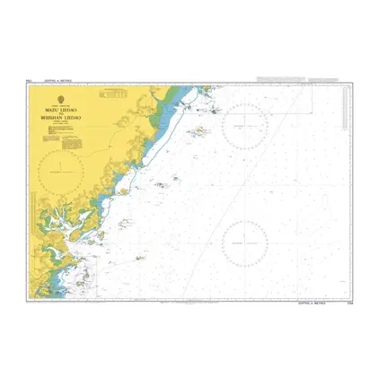
Nautical Chart 1754 Mazu Liedao/Beijishan
Price DKK 525.31
Out of stock
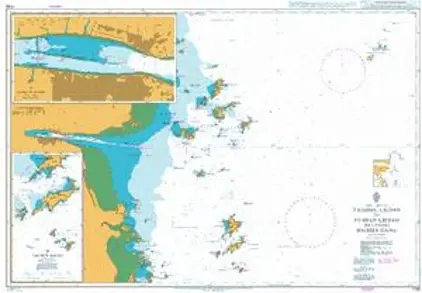
Nautical Chart 1738 Taizhou Liedao to Yushan
Price DKK 525.31
Out of stock
Nautical Chart 1728 China-Gulf of Tonkin
Price DKK 525.31
Out of stock
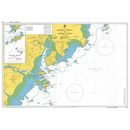
Nautical Chart 1721 Beijishan liedao/Taizhou
Price DKK 525.31
Out of stock
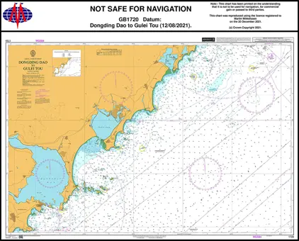
Nautical Chart 1720 Dongding Dao to Gulei Tou
Price DKK 525.31
Out of stock
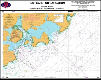
Nautical Chart 1719 Shenhu Wan to Dongding
Price DKK 525.31
Out of stock
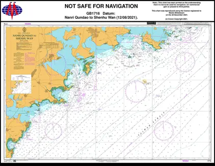
Nautical Chart 1716 Taiwan S., Nanri Q
Price DKK 525.31
Out of stock
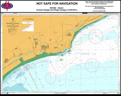
Nautical Chart 1665 China - Hangzhou Wan
Price DKK 525.31
Out of stock
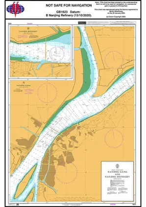
Nautical Chart 1623 Nanjing Gang & Refine
Price DKK 525.31
Out of stock
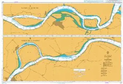
Nautical Chart 1621 Kouanzhi Shuidao/Nanjing
Price DKK 525.31
Out of stock
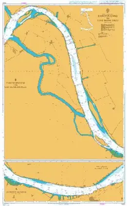
Nautical Chart 1620 Jiangyin Gang/Kouanzh
Price DKK 525.31
Out of stock
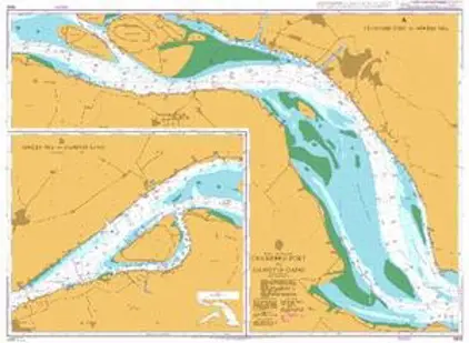
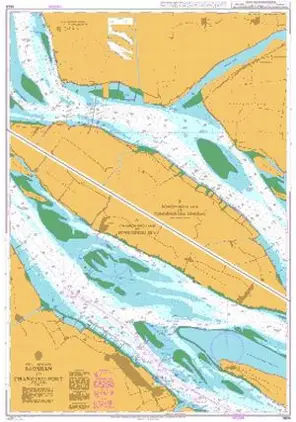
Nautical Chart 1605 Changshu Port/Jiangyn
Price DKK 525.31
Out of stock
Nautical Chart 1604 Baoshan to Changshu Port
Price DKK 525.31
Out of stock
Nautical Chart 1603 Inner App. Shanghai
Price DKK 525.31
Out of stock
Nautical Chart 1602 Outer App. Shanghai
Price DKK 525.31
Out of stock
Previous
1
...
5
6
7
8
9
...
12
Next
View on map
Close
Close