China Sea
The full range of ADMIRALTY nautical sea charts for The China Sea.
View on map
61-80
of
223
products
Select an option
Country not found
List is empty.
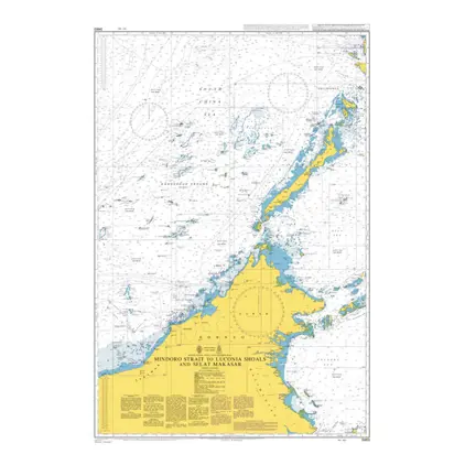
POD 3483 Mindoro Strait
Price DKK 525.31
Out of stock
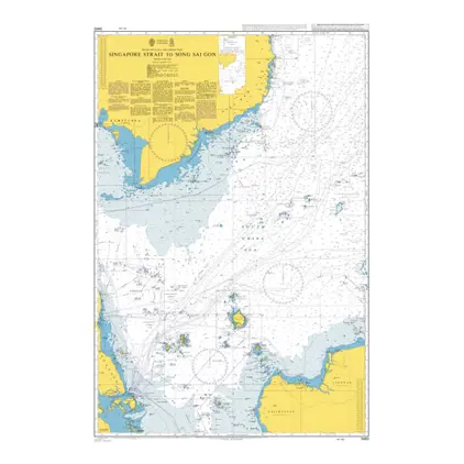
POD 3482 Singapore/Song Sai Go
Price DKK 525.31
Out of stock
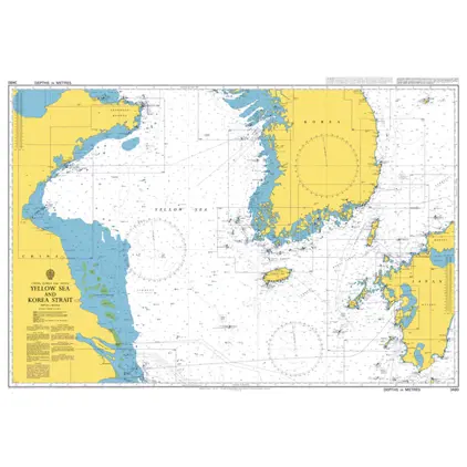
POD 3480 Yellow Sea and Korea
Price DKK 525.31
Out of stock
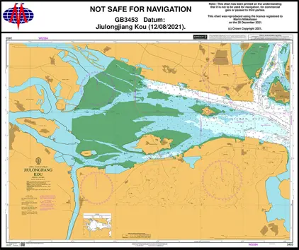
POD 3453 Jiulongjiang Kou
Price DKK 525.31
Out of stock
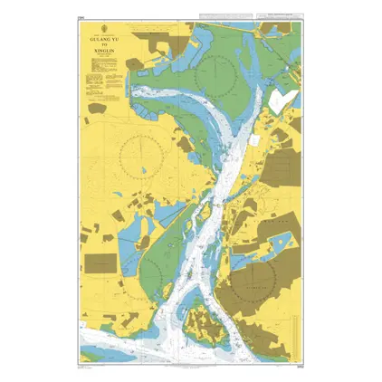
POD 3452 Gulang Yu - Xinglin
Price DKK 525.31
Out of stock
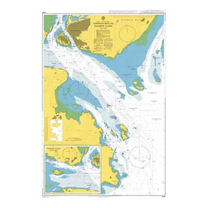
POD 3449 Appr.to Xiamen Gang
Price DKK 525.31
Out of stock
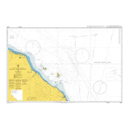
POD 3447 Kuala Terengganu/Tump
Price DKK 525.31
Out of stock
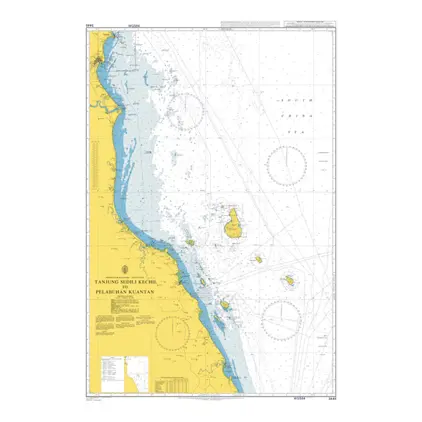
POD 3445 Tanjung Sedili Kechil
Price DKK 525.31
Out of stock
POD 3391 App to Gwangyang Hang
Price DKK 525.31
Out of stock
Nautical Chart 3390 Korea, Kwangyang Hang
Price DKK 525.31
Out of stock
Nautical Chart 3365 Geomundo to Daeheuksan Gundo and Jejudo
Price DKK 525.31
Out of stock
Nautical Chart 3364 Zhanjiang Gang, Northern Part
Price DKK 525.31
Out of stock
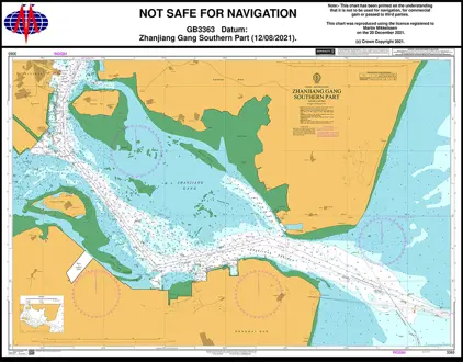
Nautical Chart 3363 Zhanjiang Gang, Southern Part
Price DKK 525.31
Out of stock
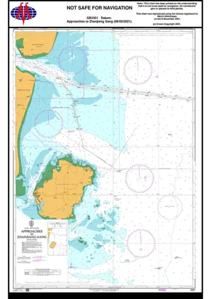
Nautical chart 3351 App. Zhanjiang Gang
Price DKK 525.31
Out of stock
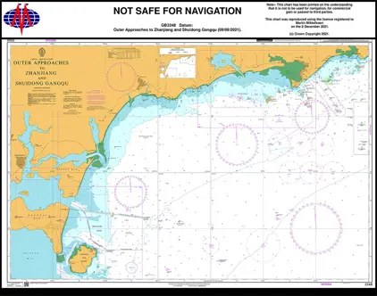
Nautical Chart 3348 Outer App. Zhanjiang
Price DKK 525.31
Out of stock
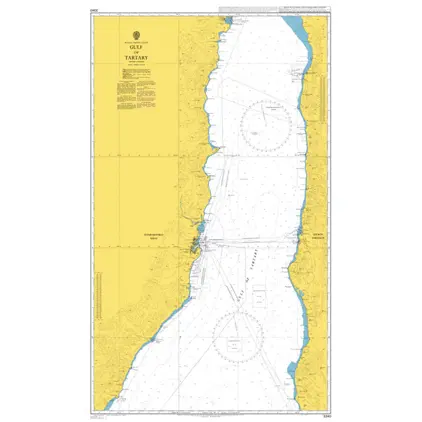
Nautical Chart 3340 Gulf of Tartary
Price DKK 525.31
Out of stock
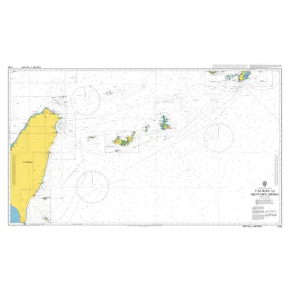
Nautical Chart 3236 Tai-wan/Okinawa Shima
Price DKK 525.31
Out of stock
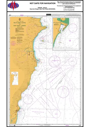
Nautical Chart 3235 Hua-Lien Kang-San-Tiao Chiao
Price DKK 525.31
Out of stock
Nautical Chart 3234 T'ai-tung Kang to Hualien Kang
Price DKK 525.31
Out of stock
Nautical Chart 3233 O-Luan Pi to T'ai-Tung Kang
Price DKK 525.31
Out of stock
Previous
1
2
3
4
5
6
...
12
Next
View on map
Close
Close