China Sea S
ADMIRALTY nautical sea charts for China Sea S.
View on map
81-100
of
117
products
Select an option
Country not found
List is empty.
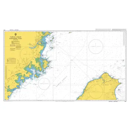
Nautical Chart 1761 Taiwan Strait-north part
Price DKK 525.31
Out of stock
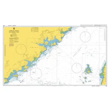
Nautical Chart 1760 Taiwan Strait-south part
Price DKK 525.31
Out of stock
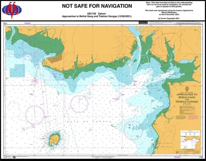
Nautical Chart 1728 China-Gulf of Tonkin
Price DKK 525.31
Out of stock
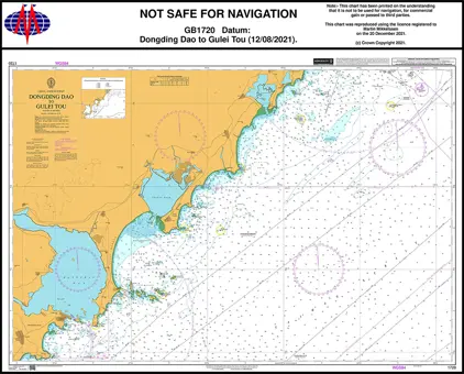
Nautical Chart 1720 Dongding Dao to Gulei Tou
Price DKK 525.31
Out of stock
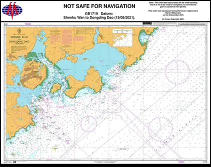
Nautical Chart 1719 Shenhu Wan to Dongding
Price DKK 525.31
Out of stock
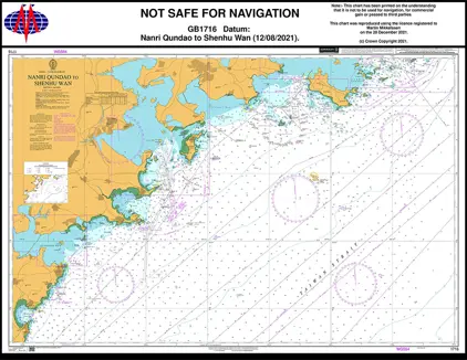
Nautical Chart 1716 Taiwan S., Nanri Q
Price DKK 525.31
Out of stock
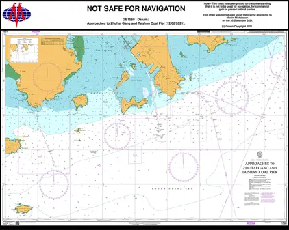
Nautical Chart 1568 China, App. Zhuhai
Price DKK 525.31
Out of stock
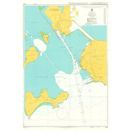
Nautical Chart 1557 Zhuhai Gang, Gaolan
Price DKK 525.31
Out of stock
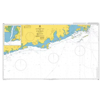
Nautical Chart 1555 Dafangji Dao/Hong Kon
Price DKK 525.31
Out of stock
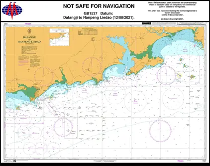
Nautical Chart 1537 China-Dafangji/Nanpen
Price DKK 525.31
Out of stock
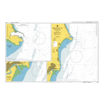
Nautical Chart 1379 Approaches to Kuantan
Price DKK 525.31
Out of stock
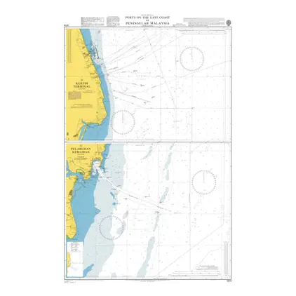
Nautical Chart 1374 Peninsular Malaysia: ports east coast
Price DKK 525.31
Out of stock
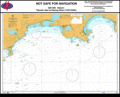
Nautical Chart 1369 Tianwei Jiao/Daxing Shan
Price DKK 525.31
Out of stock
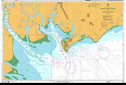
Nautical Chart 1261 App.to Song Sai Gon
Price DKK 525.31
Out of stock
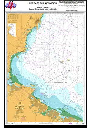
Nautical Chart 1201 Guanhe Kou to Rizhao Gang
Price DKK 525.31
Out of stock
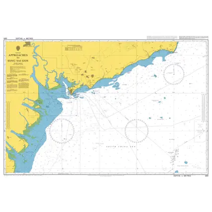
Nautical Chart 1100 App. to Song Sai Gon
Price DKK 525.31
Out of stock
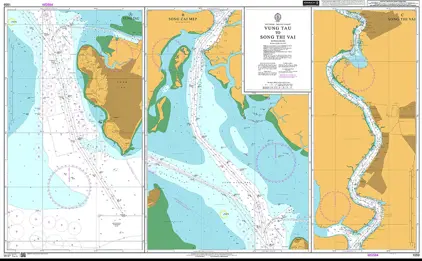
Nautical Chart 1059 Vung Tau to Song Thi Vai Vietnam
Price DKK 525.31
Out of stock
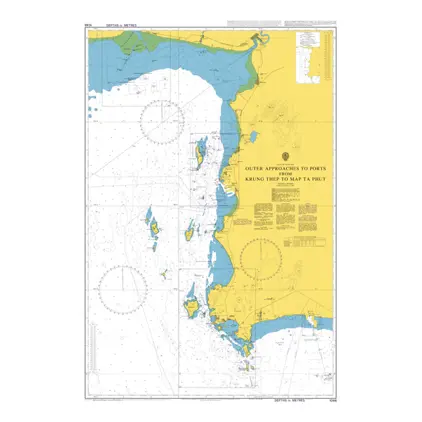
Nautical Chart 1046 Outer Approaches to Ports from Krung Thep to Map Ta Phut
Price DKK 525.31
Out of stock
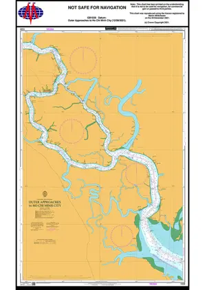
Nautical Chart 1039 Outer Approaches to Ho Chi Minh City
Price DKK 525.31
Out of stock
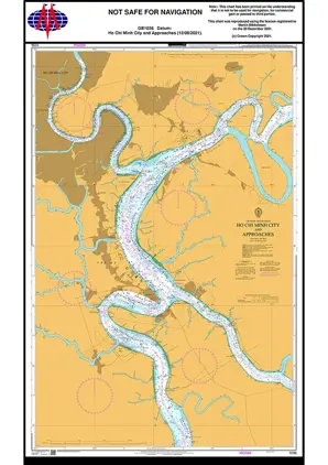
Nautical Chart 1036 Ho Chi Minh City & App.
Price DKK 525.31
Out of stock
Previous
1
...
3
4
5
6
Next
View on map
Close
Close