Bengal Bay & Malacca Strait
The full range of ADMIRALTY nautical sea charts for Bengal Bay & Malacca Strait.
View on map
21-40
of
150
products
Select an option
Country not found
List is empty.
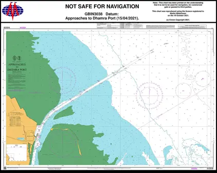
Nautical Chart IN3038 App. to Dhamra Port
Price DKK 525.31
Out of stock
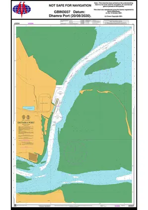
Nautical Chart IN3037 Dhamra Port
Price DKK 525.31
Out of stock
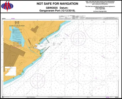
Nautical Chart IN3035 Gangavaram Port
Price DKK 525.31
Out of stock
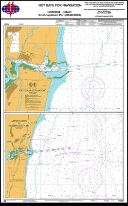
Nautical Chart IN3034 Krishnapatnam Port
Price DKK 525.31
Out of stock
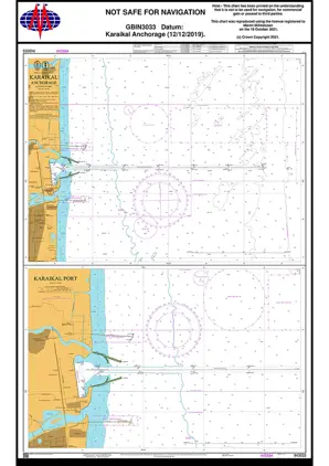
Nautical Chart IN3033 Karaikal Anchorage
Price DKK 525.31
Out of stock
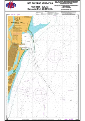
Nautical Chart IN3028 Kamarajar Port
Price DKK 525.31
Out of stock
Nautical Chart IN3013 India-Haldia/K. Reach
Price DKK 525.31
Out of stock
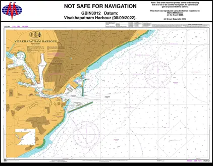
Nautical Chart IN3012 Visakhapatnam Harbour
Price DKK 525.31
Out of stock
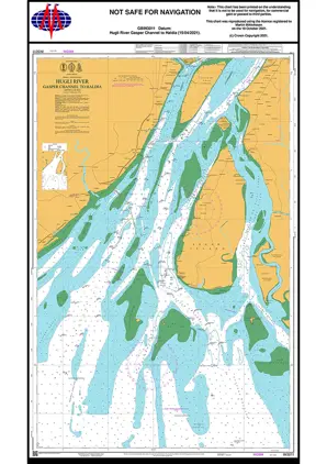
Nautical Chart IN3011 Hugli River, Gasper
Price DKK 525.31
Out of stock
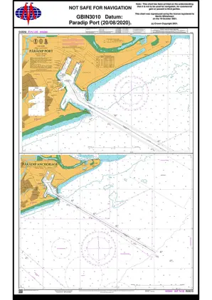
Nautical Chart IN3010 Paradip Port
Price DKK 525.31
Out of stock
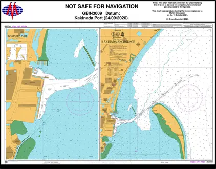
Nautical Chart IN3009 Kakinada Anchorage
Price DKK 525.31
Out of stock
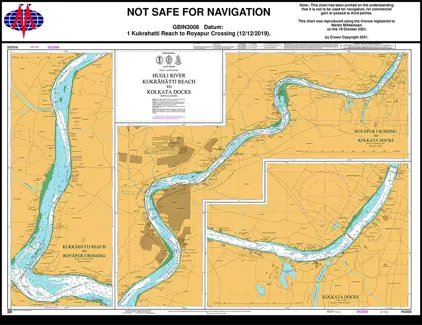
Nautical Chart IN3006 Kukrahatti Reach to Kolkata Dock
Price DKK 525.31
Out of stock
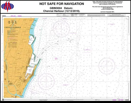
Nautical Chart IN3004 India Chennai Harbour
Price DKK 525.31
Out of stock
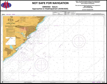
Nautical Chart IN3002 App to Visakhapatnam
Price DKK 525.31
Out of stock
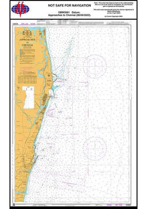
Nautical Chart IN3001 India App.t Chennai
Price DKK 525.31
Out of stock
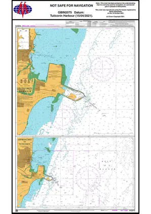
Nautical Chart IN2075 Tuticorin Harbour
Price DKK 525.31
Out of stock
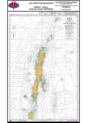
Nautical Chart IN473 Andaman Islands Sea
Price DKK 525.31
Out of stock
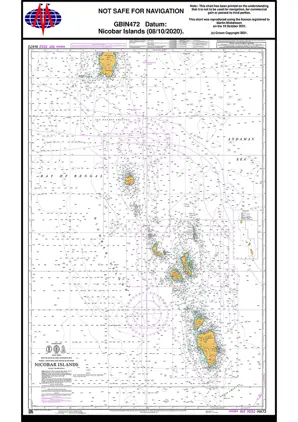
Nautical Chart IN472 Nicobar Islands
Price DKK 525.31
Out of stock
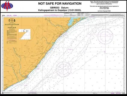
Nautical Chart IN353 Kalingapat-Gopalpur
Price DKK 525.31
Out of stock
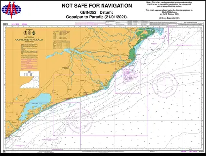
Nautical Chart IN352 Gopalpur to Paradip
Price DKK 525.31
Out of stock
Previous
1
2
3
4
...
8
Next
View on map
Close
Close