USA E
The full range of ADMIRALTY nautical sea charts for East America.
View on map
21-40
of
80
products
Select an option
Country not found
List is empty.
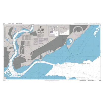
POD 3458 Raritan Bay/Arthur Ki
Price DKK 525.31
Out of stock
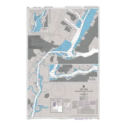
POD 3457 Arthur Kill & Newark
Price DKK 525.31
Out of stock
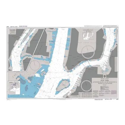
POD 3455 Governors Island
Price DKK 525.31
Out of stock
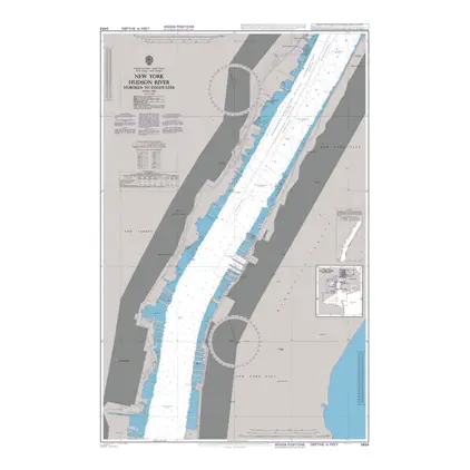
POD 3454 Hoboken to Edgewater
Price DKK 525.31
Out of stock
POD 3451 Tallman Isl./ Queensb
Price DKK 525.31
Out of stock
Nautical Chart 3204 New York: Lower Bay app.
Price DKK 525.31
Out of stock
Nautical Chart 3192 Sabine Pass and app.
Price DKK 525.31
Out of stock
Nautical Chart 3190 Calcasieu Pass and app.
Price DKK 525.31
Out of stock
Nautical Chart 3188 Carpenter Bayou/Houston
Price DKK 525.31
Out of stock
Nautical Chart 3187 Channel, Morgans Point to Carpenters Bayou.
Price DKK 525.31
Out of stock
Nautical Chart 3186 Galveston Bay
Price DKK 525.31
Out of stock
Nautical Chart 3184 Ports of Corpus Christi
Price DKK 525.31
Out of stock
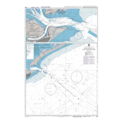
Nautical Chart 3183 App. to Galveston Bay
Price DKK 525.31
Out of stock
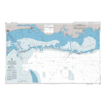
Nautical Chart 3151 Approaches to Pascagoula
Price DKK 525.31
Out of stock
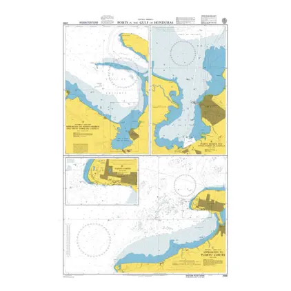
POD 2988 Ports in Gulf Hondura
Price DKK 525.31
Out of stock
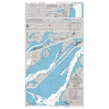
Nautical Chart 2922 Chesapeake & Delaware Canal
Price DKK 525.31
Out of stock
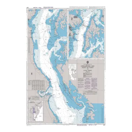
Nautical Chart 2921 Chesapeake Bay, Point No Point
Price DKK 525.31
Out of stock
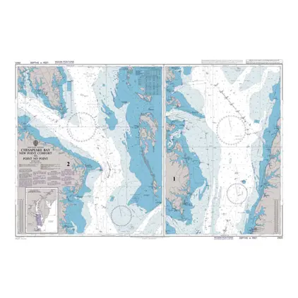
Nautical Chart 2920 New Pt. Comfort/Pt. No.
Price DKK 525.31
Out of stock
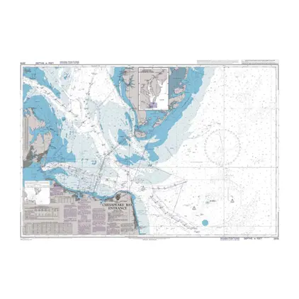
Nautical Chart 2919 Chesapeake Bay Entrance
Price DKK 525.31
Out of stock
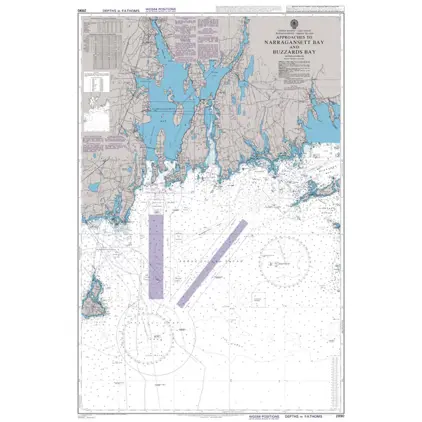
Nautical Chart 2890 App.to Narragansett Bay
Price DKK 525.31
Out of stock
Previous
1
2
3
4
Next
View on map
Close
Close