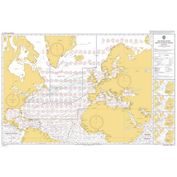
5124(1) North Atlantic Routeing Chart JANUARY
| Product number | BA512401 |
|---|---|
| Price | DKK 247.85 |
| Price ex. VAT | DKK 198.28 |
| Chart no. | 5124(1) |
| Released | February 2021 |
| Scale | 1:20000000 |
| Author | UKHO |
Price
DKK 247.85
Save
ADMIRALTY 5124(1) North Atlantic Routeing Chart
North Atlantic Routeing Chart JANUARY
Routeing chart for JANUARY month. The routeing charts are for non-navigational purposes. The main content is meteorological information. The wind directions and wind forces are shown for approximately every 5 degrees. The 2002 edition covers the North Atlantic to just south of Equator and includes the Gulf of Mexico, Caribbean Sea, the Mediterranean Sea, The Black Sea, The Baltic Sea and the waters north of Norway and along the Greenlandic
coasts. The currents and the ice limits are also printed. In a number of small frames the sea and air temperature and visibility curves are inserted. Besides the weather information the limits of the load line zones are also shown.
Corrected to the latest NTM. (Print on Demand)