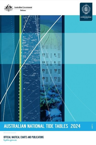
AHO Australia TT AHP11 2024
AHO Australia TT AHP11 2024
eBook in SeaReader Australian National Tide Tables (AHP11)
Australian National Tide Tables (ANTT) contains information for over 80 Primary Standard and 600 Secondary ports in Australia, Papua New Guinea, Solomon Islands, Antarctica and Timor-Leste. This information includes:
Predictions for high and low water for each day of the year for all Standard Ports.
Tidal level and time differences for all Secondary Ports.
Instructions and forms for calculating intermediate times and heights.
Effects of wind and barometric pressure on tide, particularly at certain ports.
Details of transmitting tide gauges in Torres Strait.
Predictions of maximum rates of tidal streams for Torres Strait and Port Phillip Heads.
Tidal Stream diagrams for Sydney, Broome and Darwin.
(The main 22 harmonic constituents for all Standard and Secondary Ports may be found within Aus Tides)
Australian National Tide Tables are official nautical publications. Official nautical publications are those issued by, or on the authority of, a Government authorized Hydrographic Office or other relevant government institution. The Australian Hydrographic Office (AHO) is Australia's national charting authority and publishes official nautical publications of the Australian Charting Area.
Available as digital E-Book via our free Windows-compatible software, SeaReader. More information on E-Books is on our SeaReader page:
weilbach.com/weilbach/news-info/seareader-for-web-customers/