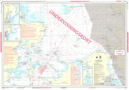
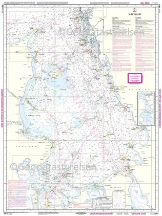
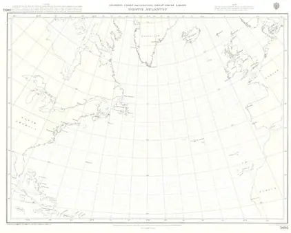
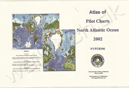
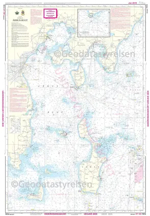
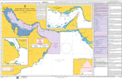
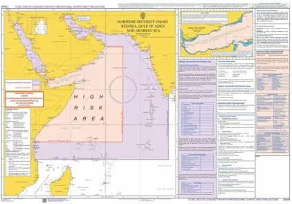
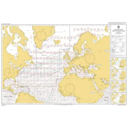
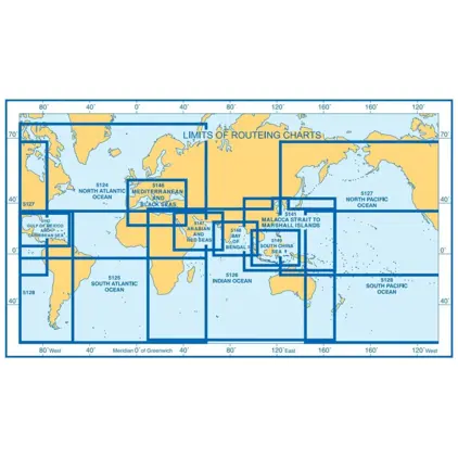
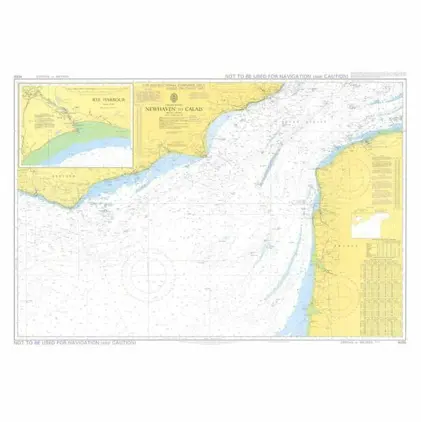
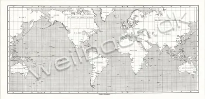
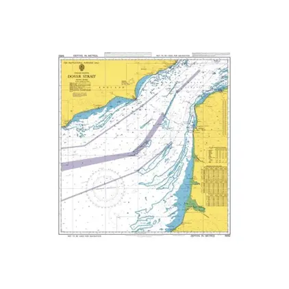
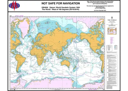
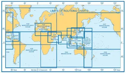
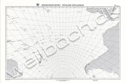
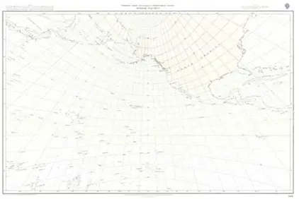
If you specify the delivery country before you start shopping, all prices will be displayed in the correct currency and with proper VAT. Transport costs will be added when you add articles to Cart. If the delivery address is outside the EU, no VAT will be added. If the delivery address is within the EU, the currency and VAT is locked to the delivery country.
Admiralty Routing Charts from UKHO contains ocean currents, ice limits, load lines, wind roses, with expected meteorological and oceanographic conditions for each month of the year.
Admiralty Security Charts or Anti Piracy Charts from UKHO contains information on how to navigate through high risk areas.
US Pilot Charts from NOAA with meteorological, hydrographic, and navigational information.
PAG - Port Approach Guides, each cover a single port, and contain all the information a mariner might need when planning a port approach
Gnomonic Charts or Great Circle Charts are used in passage planning to plot great circle routes as a straight line.
Maps covering the world - Political World Maps, World Atlas, Survey Maps.
Funders classic universal plotting sheet and Funders Voyage Chart.
Plotting Sheets from UKHO - United Kingdom Hydrographic Office with global coverage.
Nautical charts especialy designed for the use onboard lifeboats.
We use cookies to ensure that you get the best experience on our site. READ MORE