Indian Ocean
The full range of ADMIRALTY nautical sea charts for the Indian Ocean.
View on map
1-20
of
54
products
Select an option
Country not found
List is empty.
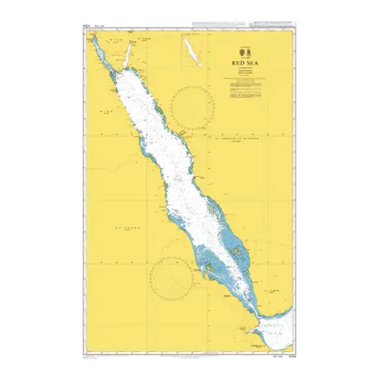
POD 4704 Red Sea
Price DKK 525.31
Out of stock
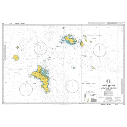
Nautical Chart 742 Mahe, Praslin & Adj. Islands
Price DKK 525.31
Out of stock
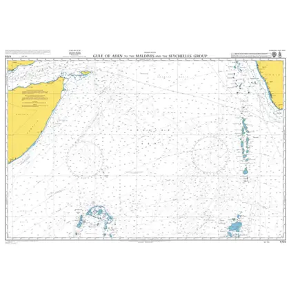
POD 4703 G.Aden-Maldives&Seych
Price DKK 525.31
Out of stock
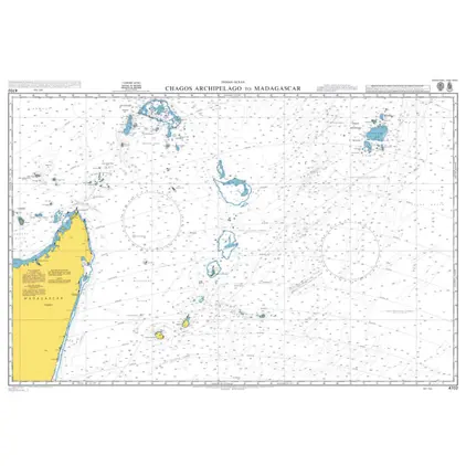
POD 4702 Chagos Arch./ Madagas
Price DKK 525.31
Out of stock
Nautical Chart 717 Saya de Malha Bank
Price DKK 525.31
Out of stock
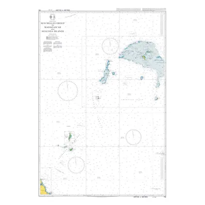
Nautical Chart 716 Seychelles Group
Price DKK 525.31
Out of stock
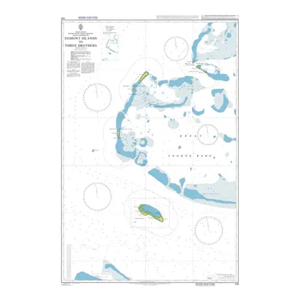
Nautical Chart 726 Egmont Islands to Three Brothers
Price DKK 525.31
Out of stock
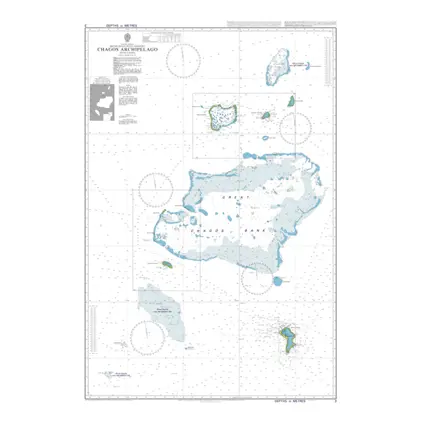
Nautical Chart 3 Chagos Archipelago
Price DKK 525.31
Out of stock
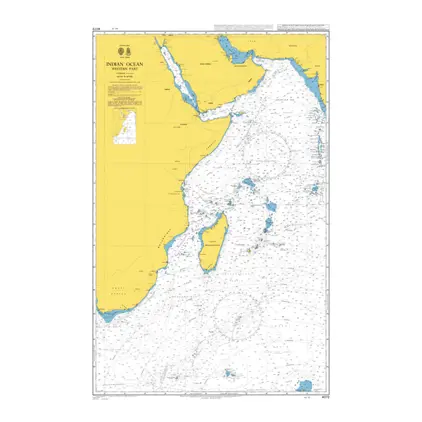
Nautical Chart 4072 Indian Ocean, western part
Price DKK 525.31
Out of stock
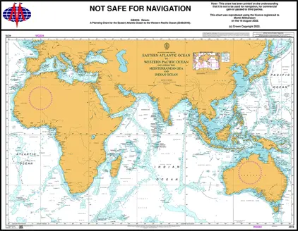
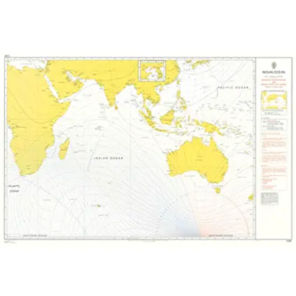
Nautical Chart 4016 Planning Chart E. A. Ocean
Price DKK 525.31
Out of stock
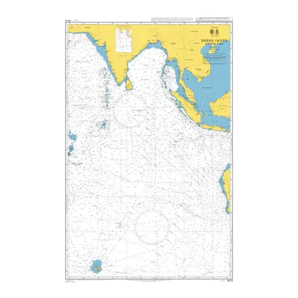
Nautical Chart 4073 Indian Ocean, east part
Price DKK 525.31
Out of stock
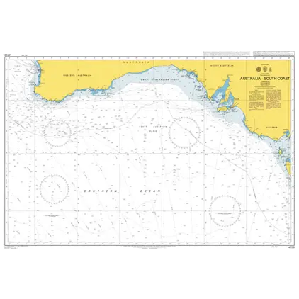
POD 4709 Australia South Coast
Price DKK 525.31
Out of stock
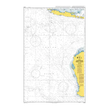
Nautical Chart 4708 Indian Ocean, Australia, West Coast
Price DKK 525.31
Out of stock
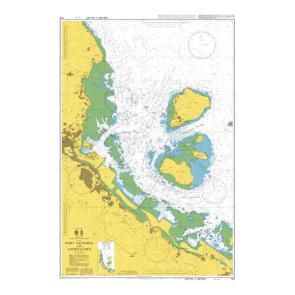
Nautical Chart 722 Port Victoria and app.
Price DKK 525.31
Out of stock
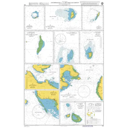
Nautical Chart 724 Anchorages in the Seychelles Group and Outlying Islands
Price DKK 525.31
Out of stock
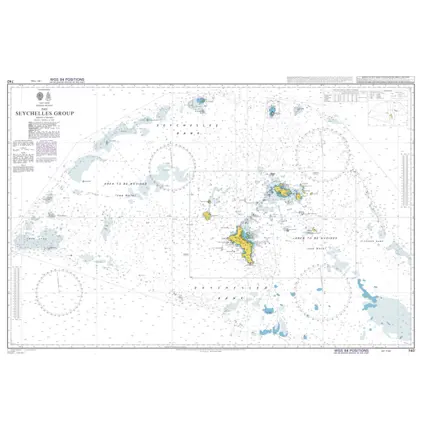
Nautical Chart 740 The Seychelles Group
Price DKK 525.31
Out of stock
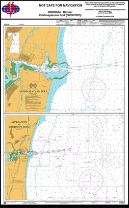
Nautical Chart IN3034 Krishnapatnam Port
Price DKK 525.31
Out of stock
POD 5385 Magnetic Var.2010,Ind
Price DKK 211.00
Out of stock
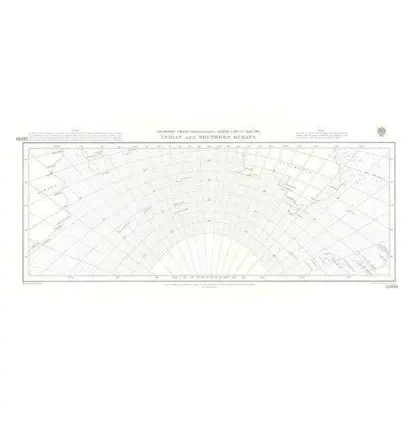
5099 Gnomonic IIndian and Southern Oceans
Price DKK 211.00
Out of stock
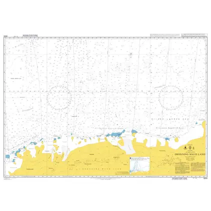
POD 4904 Dronning Maud Land
Price DKK 525.31
Out of stock
Previous
1
2
3
Next
View on map
Close
Close