New Zealand & New Guinea
ADMIRALTY nautical sea charts for New Zealand and New Guinea.
View on map
1-20
of
136
products
Select an option
Country not found
List is empty.
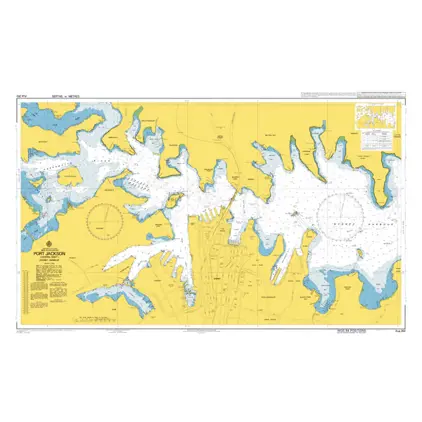
Nautical Chart AUS 202 P. Jackson(c.sheet)S.
Price DKK 525.31
Out of stock
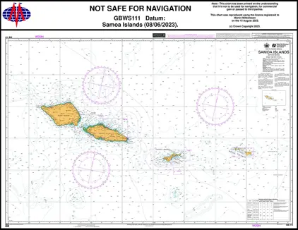
Nautical Chart WS 111 Samoa Islands
Out of stock
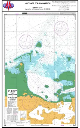
Nautical Chart TO 502 App. Nuku'alofa Tonga
Price DKK 525.31
Out of stock
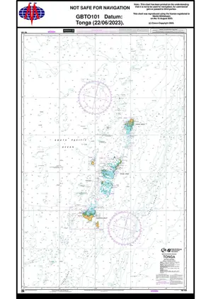
Nautical Chart TO 101 South Pacific, Tonga
Price DKK 525.31
Out of stock
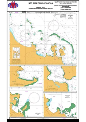
Nautical Chart PNG683 Bougainville Island
Price DKK 525.31
Out of stock
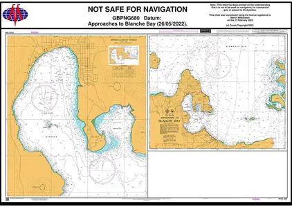
Nautical Chart PNG680 Approach to Blanche Bay
Price DKK 525.31
Out of stock
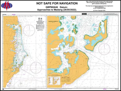
Nautical Chart PNG646 Approaches Madang
Price DKK 525.31
Out of stock
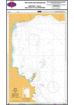
Nautical Chart PNG643 Approaches to Lae
Price DKK 525.31
Out of stock
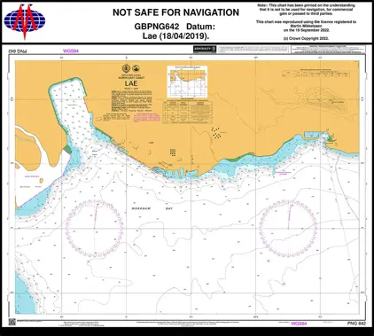
Nautical Chart PNG642 Port of Lae
Price DKK 525.31
Out of stock
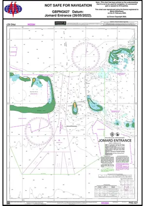
Nautical Chart PNG627 Jomard Entrance.
Price DKK 525.31
Out of stock
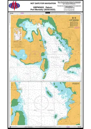
Nautical Chart PNG622 Port Moresby
Price DKK 525.31
Out of stock
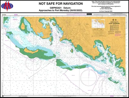
Nautical Chart PNG621 App. Port Moresby
Price DKK 525.31
Out of stock
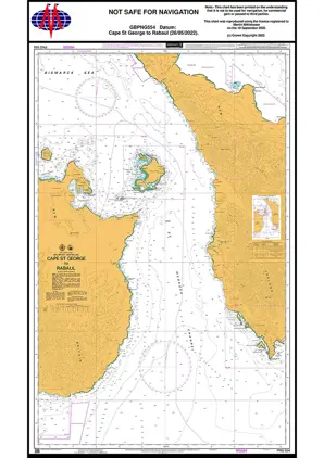
Nautical Chart PNG554 Cape St George/Rabaul
Price DKK 525.31
Out of stock
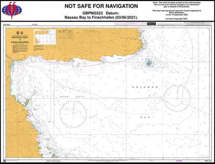
Nautical Chart PNG523 Nassau B./Finschafen
Price DKK 525.31
Out of stock
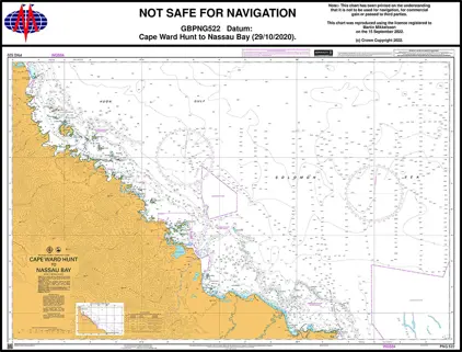
Nautical Chart PNG522 Cape Ward H./Nassau Bay
Price DKK 525.31
Out of stock
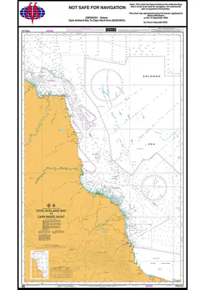
Nautical Chart PNG521 Dyke Ackland/Ward Hunt
Price DKK 525.31
Out of stock
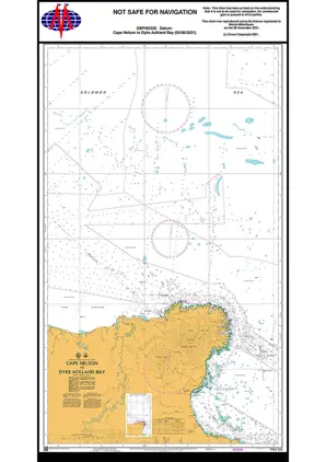
Nautical Chart PNG520 Cape Nelson Dyke Acland Bay
Price DKK 525.31
Out of stock
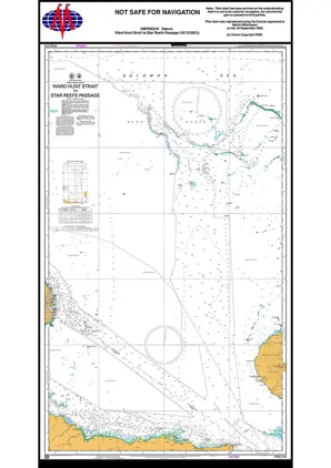
Nautical Chart PNG519 Ward Hunt Strait
Price DKK 525.31
Out of stock
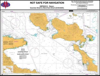
Nautical Chart PNG518 Goschen St./Ward Hunt Strait
Price DKK 525.31
Out of stock
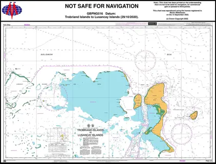
Nautical Chart PNG516 Trobriand Is/Lusancay Islands
Price DKK 525.31
Out of stock
Previous
1
2
3
...
7
Next
View on map
Close
Close