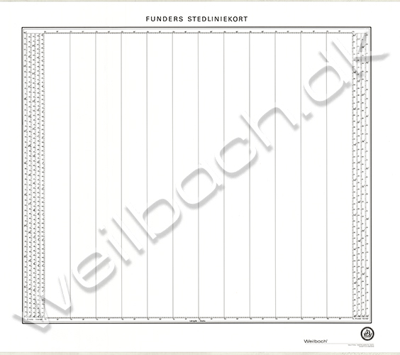
Funders stedliniekort
| Product number | 14600010 |
|---|---|
| Price | DKK 78.13 |
| Price ex. VAT | DKK 62.50 |
| Chart no. | F |
| Edition | 1 |
| Released | December 2007 |
Price
DKK 78.13
Save
Funders stedliniekort
Funder's meridian chart can be used for laying out astronomical meridians. It ranges from 0 to 62 degrees N/S on 5 parallel latitude scales. There are scales on both sides for all latitudes, and a longitude scale without numbers.
Information about the general use of meridian charts:
Meridian charts are used in navigation over the oceans and for laying out dead reckoning and meridians to achieve greater accuracy than would be provided by general sailing charts and port approach charts for the respective area. A meridian chart only shows a grid and it may only include meridians, while there are latitude scales outside the frame of the chart so that the chart can be used at most latitudes according to the needs of the specific navigation. The ship's navigators can also create meridian charts in the scale they desire."